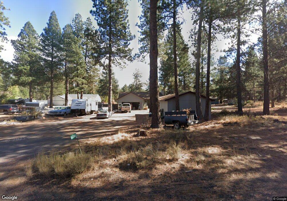
60060 Navajo Rd Bend, OR 97702
Deschutes River Woods NeighborhoodEstimated Value: $579,000 - $631,000
3
Beds
2
Baths
1,410
Sq Ft
$433/Sq Ft
Est. Value
About This Home
This home is located at 60060 Navajo Rd, Bend, OR 97702 and is currently estimated at $611,208, approximately $433 per square foot. 60060 Navajo Rd is a home located in Deschutes County with nearby schools including Elk Meadow Elementary School, High Desert Middle School, and Morning Star Christian School.
Ownership History
Date
Name
Owned For
Owner Type
Purchase Details
Closed on
Oct 26, 2011
Sold by
Fannie Mae
Bought by
Perkins Carl W
Current Estimated Value
Home Financials for this Owner
Home Financials are based on the most recent Mortgage that was taken out on this home.
Original Mortgage
$142,857
Outstanding Balance
$96,367
Interest Rate
3.95%
Mortgage Type
New Conventional
Estimated Equity
$514,841
Purchase Details
Closed on
May 11, 2011
Sold by
Tebbs Todd P
Bought by
Federal National Mortgage Association
Purchase Details
Closed on
Apr 2, 2007
Sold by
Tebbs Mary
Bought by
Tebbs Todd P
Home Financials for this Owner
Home Financials are based on the most recent Mortgage that was taken out on this home.
Original Mortgage
$296,000
Interest Rate
8.99%
Mortgage Type
New Conventional
Create a Home Valuation Report for This Property
The Home Valuation Report is an in-depth analysis detailing your home's value as well as a comparison with similar homes in the area
Home Values in the Area
Average Home Value in this Area
Purchase History
| Date | Buyer | Sale Price | Title Company |
|---|---|---|---|
| Perkins Carl W | $140,000 | Amerititle | |
| Federal National Mortgage Association | $351,987 | Amerititle | |
| Tebbs Todd P | -- | Multiple |
Source: Public Records
Mortgage History
| Date | Status | Borrower | Loan Amount |
|---|---|---|---|
| Open | Perkins Carl W | $142,857 | |
| Previous Owner | Tebbs Todd P | $296,000 |
Source: Public Records
Tax History Compared to Growth
Tax History
| Year | Tax Paid | Tax Assessment Tax Assessment Total Assessment is a certain percentage of the fair market value that is determined by local assessors to be the total taxable value of land and additions on the property. | Land | Improvement |
|---|---|---|---|---|
| 2025 | $3,120 | $203,840 | -- | -- |
| 2024 | $2,988 | $197,910 | -- | -- |
| 2023 | $2,815 | $192,150 | $0 | $0 |
| 2022 | $2,599 | $181,130 | $0 | $0 |
| 2021 | $2,617 | $175,860 | $0 | $0 |
| 2020 | $2,475 | $175,860 | $0 | $0 |
| 2019 | $2,407 | $170,740 | $0 | $0 |
| 2018 | $2,338 | $165,770 | $0 | $0 |
| 2017 | $2,278 | $160,950 | $0 | $0 |
| 2016 | $2,168 | $156,270 | $0 | $0 |
Source: Public Records
Map
Nearby Homes
- 60083 Navajo Rd
- 59895 Cheyenne Rd
- 19341 Apache Rd
- 60092 Minnetonka Ln
- 19276 Kiowa Rd
- 19275 Cherokee Rd
- 60340 Hiawatha Ln
- 59773 Cheyenne Rd
- 19434 River Woods Dr
- 19413 Piute Cir
- 19191 Kiowa Rd
- 19373 Indian Summer Rd
- 60373 Cinder Butte Rd
- 19178 Choctaw Rd
- 60095 Crater Rd
- 19304 Baker Rd
- 19494 Baker Rd
- 60026 Turquoise Rd
- 19154 Baker Rd
- 60214 Agate Rd