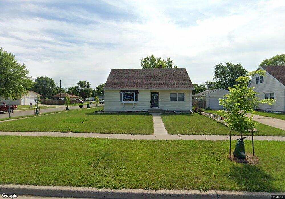
601 2nd St E West Fargo, ND 58078
Sukut's NeighborhoodEstimated Value: $270,000 - $289,130
3
Beds
2
Baths
2,863
Sq Ft
$98/Sq Ft
Est. Value
About This Home
This home is located at 601 2nd St E, West Fargo, ND 58078 and is currently estimated at $279,565, approximately $97 per square foot. 601 2nd St E is a home located in Cass County with nearby schools including South Elementary School, Cheney Middle School, and West Fargo High School.
Ownership History
Date
Name
Owned For
Owner Type
Purchase Details
Closed on
Aug 14, 2020
Sold by
Molde Garet and Molde Jamie
Bought by
Human Lukas and Human Josie
Current Estimated Value
Home Financials for this Owner
Home Financials are based on the most recent Mortgage that was taken out on this home.
Original Mortgage
$187,110
Outstanding Balance
$132,859
Interest Rate
3%
Mortgage Type
New Conventional
Estimated Equity
$146,706
Purchase Details
Closed on
Oct 7, 2014
Sold by
Brandvold Darlene J
Bought by
Molde Garet and Green Jamie
Create a Home Valuation Report for This Property
The Home Valuation Report is an in-depth analysis detailing your home's value as well as a comparison with similar homes in the area
Home Values in the Area
Average Home Value in this Area
Purchase History
| Date | Buyer | Sale Price | Title Company |
|---|---|---|---|
| Human Lukas | $207,900 | Title Company Residential | |
| Molde Garet | $329,257 | Title Co |
Source: Public Records
Mortgage History
| Date | Status | Borrower | Loan Amount |
|---|---|---|---|
| Open | Human Lukas | $187,110 |
Source: Public Records
Tax History
| Year | Tax Paid | Tax Assessment Tax Assessment Total Assessment is a certain percentage of the fair market value that is determined by local assessors to be the total taxable value of land and additions on the property. | Land | Improvement |
|---|---|---|---|---|
| 2024 | $2,701 | $117,550 | $17,950 | $99,600 |
| 2023 | $3,290 | $120,550 | $17,950 | $102,600 |
| 2022 | $3,168 | $110,900 | $17,950 | $92,950 |
| 2021 | $2,935 | $99,000 | $13,050 | $85,950 |
| 2020 | $2,696 | $93,100 | $13,050 | $80,050 |
| 2019 | $2,601 | $89,650 | $13,050 | $76,600 |
| 2018 | $2,545 | $91,750 | $13,050 | $78,700 |
| 2017 | $2,407 | $88,750 | $13,050 | $75,700 |
| 2016 | $2,148 | $86,750 | $13,050 | $73,700 |
| 2015 | $2,078 | $77,050 | $11,850 | $65,200 |
| 2014 | $2,035 | $72,000 | $11,850 | $60,150 |
| 2013 | $1,991 | $69,150 | $11,850 | $57,300 |
Source: Public Records
Map
Nearby Homes
- 620 Sukut St
- 431 5th Ave E Unit 1
- 217 1st Ave E
- 226 10 1/2 Ave W
- 631 7th Ave E
- 232 1st Ave W
- 245 12th Ave E
- 236 1st Ave W
- 622 12th Ave E
- 520 6th Ave W Unit 8
- 332 13th Ave E
- 612 7th Ave W
- 602 12 1 2 Ave E Unit 5
- 45 Center St
- 105 Evergreen Cir
- 901 7th St W
- 832 5th Ave E
- 714 14th Ave E
- 526 3rd Ave NW
- 801 9th St E
Your Personal Tour Guide
Ask me questions while you tour the home.