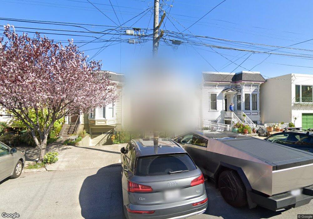
601 Arkansas St San Francisco, CA 94107
Potrero NeighborhoodEstimated Value: $2,708,000 - $3,079,000
4
Beds
3
Baths
2,880
Sq Ft
$1,012/Sq Ft
Est. Value
About This Home
This home is located at 601 Arkansas St, San Francisco, CA 94107 and is currently estimated at $2,915,110, approximately $1,012 per square foot. 601 Arkansas St is a home located in San Francisco County with nearby schools including Thomas Starr King Elementary School, Aptos Middle School, and The New School of San Francisco.
Ownership History
Date
Name
Owned For
Owner Type
Purchase Details
Closed on
Mar 6, 2023
Sold by
Gleeson Patricia
Bought by
Kuyda Evgeniya and Lampkin Troy
Current Estimated Value
Purchase Details
Closed on
Apr 30, 2002
Sold by
Gleeson Patricia
Bought by
Butterfield Ralph Ora and Gleeson Patricia
Purchase Details
Closed on
Dec 13, 1995
Sold by
Giannotti Lola and Morganti Lola
Bought by
Gleeson Patricia
Create a Home Valuation Report for This Property
The Home Valuation Report is an in-depth analysis detailing your home's value as well as a comparison with similar homes in the area
Home Values in the Area
Average Home Value in this Area
Purchase History
| Date | Buyer | Sale Price | Title Company |
|---|---|---|---|
| Kuyda Evgeniya | $2,800,000 | Old Republic Title | |
| Butterfield Ralph Ora | -- | -- | |
| Gleeson Patricia | $245,000 | First American Title Co |
Source: Public Records
Tax History Compared to Growth
Tax History
| Year | Tax Paid | Tax Assessment Tax Assessment Total Assessment is a certain percentage of the fair market value that is determined by local assessors to be the total taxable value of land and additions on the property. | Land | Improvement |
|---|---|---|---|---|
| 2025 | $33,567 | $2,913,120 | $2,039,184 | $873,936 |
| 2024 | $33,567 | $2,856,000 | $1,999,200 | $856,800 |
| 2023 | $7,670 | $641,831 | $223,536 | $418,295 |
| 2022 | $7,405 | $618,247 | $219,153 | $399,094 |
| 2021 | $7,278 | $606,126 | $214,856 | $391,270 |
| 2020 | $7,301 | $599,912 | $212,653 | $387,259 |
| 2019 | $6,969 | $588,118 | $208,470 | $379,648 |
| 2018 | $6,735 | $576,590 | $204,384 | $372,206 |
| 2017 | $6,656 | $565,288 | $200,378 | $364,910 |
| 2016 | $6,532 | $554,206 | $196,450 | $357,756 |
| 2015 | $6,718 | $545,884 | $193,500 | $352,384 |
| 2014 | $6,282 | $535,192 | $189,710 | $345,482 |
Source: Public Records
Map
Nearby Homes
- 1812 20th St
- 561 Connecticut St
- 573 Connecticut St
- 666 Carolina St Unit 666
- 631 Carolina St
- 352 Arkansas St
- 700 De Haro St
- 2023 22nd St
- 1002 Rhode Island St Unit 1
- 1300 22nd St Unit 220
- 2119 22nd St
- 264 Missouri St
- 448 Pennsylvania Ave
- 601 Pennsylvania Ave
- 699 Pennsylvania Ave Unit 2
- 701 Pennsylvania Ave Unit 109
- 701 Pennsylvania Ave Unit 107
- 1040 Wisconsin St
- 1225 Rhode Island St
- 2225 23rd St Unit 214
- 597 Arkansas St
- 607 Arkansas St
- 593 Arkansas St
- 615 Arkansas St
- 587 Arkansas St Unit 589
- 619 Arkansas St
- 583 Arkansas St
- 612 Connecticut St
- 625 Arkansas St
- 534 Connecticut St
- 618 Connecticut St
- 532 Connecticut St
- 622 Connecticut St Unit 626
- 577 Arkansas St
- 626 Connecticut St
- 624 Connecticut St
- 530 Connecticut St
- 631 Arkansas St
- 630 Connecticut St Unit 632
- 528 Connecticut St