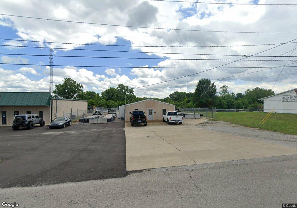
601 Brents Rd Lewisburg, TN 37091
Estimated Value: $184,577
--
Bed
1
Bath
1,200
Sq Ft
$154/Sq Ft
Est. Value
About This Home
This home is located at 601 Brents Rd, Lewisburg, TN 37091 and is currently priced at $184,577, approximately $153 per square foot. 601 Brents Rd is a home located in Marshall County with nearby schools including Oak Grove Elementary School, Marshall Elementary School, and Westhills Elementary School.
Ownership History
Date
Name
Owned For
Owner Type
Purchase Details
Closed on
Jan 4, 2019
Sold by
Maynard Jimmie Glen
Bought by
Trailer Country Inc
Current Estimated Value
Purchase Details
Closed on
May 7, 2018
Sold by
Maynard Jimmie
Bought by
Maynard Jimmie Glen
Purchase Details
Closed on
Mar 3, 2008
Sold by
Paul Davis Willie
Bought by
Allied Concrete Inc
Purchase Details
Closed on
Jun 30, 1994
Bought by
Allied Concrete Inc
Create a Home Valuation Report for This Property
The Home Valuation Report is an in-depth analysis detailing your home's value as well as a comparison with similar homes in the area
Home Values in the Area
Average Home Value in this Area
Purchase History
| Date | Buyer | Sale Price | Title Company |
|---|---|---|---|
| Trailer Country Inc | $105,000 | -- | |
| Maynard Jimmie Glen | -- | -- | |
| Allied Concrete Inc | $30,000 | -- | |
| Allied Concrete Inc | $15,000 | -- |
Source: Public Records
Tax History Compared to Growth
Tax History
| Year | Tax Paid | Tax Assessment Tax Assessment Total Assessment is a certain percentage of the fair market value that is determined by local assessors to be the total taxable value of land and additions on the property. | Land | Improvement |
|---|---|---|---|---|
| 2024 | -- | $18,240 | $3,080 | $15,160 |
| 2023 | $566 | $18,240 | $3,080 | $15,160 |
| 2022 | $566 | $18,240 | $3,080 | $15,160 |
| 2021 | $872 | $18,760 | $3,080 | $15,680 |
| 2020 | $962 | $20,680 | $3,080 | $17,600 |
| 2019 | $931 | $20,680 | $3,080 | $17,600 |
| 2018 | $921 | $20,680 | $3,080 | $17,600 |
| 2017 | $921 | $20,680 | $3,080 | $17,600 |
| 2016 | $1,054 | $20,600 | $2,720 | $17,880 |
| 2015 | $962 | $20,600 | $2,720 | $17,880 |
| 2014 | $962 | $20,600 | $2,720 | $17,880 |
Source: Public Records
Map
Nearby Homes
- 319 Greenwood St
- 231 Greenwood St
- 1025 Glenn Ave
- 627 6th Ave N
- 630 6th Ave N
- 594 5th Ave N
- 1600 Larry Dospil Dr
- 1204 Glenn Ave
- 543 2nd Ave N
- 2998 Verona Caney Rd
- 0 New Lake Rd Unit RTC3030964
- 726 Thomas Ave
- 316 Haynes St
- 1329 Amberwood Ct
- 416 1st Ave N
- 215 5th Ave N
- 966 Sumerset Cir
- 655 Glenn Ave
- 1144 Apple St
- 319 E Hill Ave
- 980 5th Ave N
- 1125 5th Ave N
- 1123 5th Ave N
- 1127 5th Ave N
- 1129 5th Ave N
- 1131 5th Ave N
- 1133 5th Ave N
- 685 Brents Rd
- 950 5th Ave N
- 1091 Murrey St
- 1099 Murrey St
- 1083 Murrey St
- 1075 Murrey St
- 1067 Murrey St
- 1057 Murrey St
- 940 5th Ave N
- 701 Brents Rd
- 700 Sanders St
- 1289 N Ellington Pkwy
- 910 5th Ave N