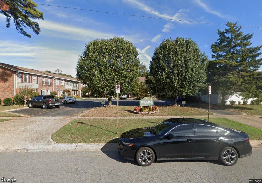
601 Brookside Dr Unit 1 Little Rock, AR 72205
Reservoir NeighborhoodEstimated Value: $76,000 - $120,000
Studio
2
Baths
990
Sq Ft
$97/Sq Ft
Est. Value
About This Home
This home is located at 601 Brookside Dr Unit 1, Little Rock, AR 72205 and is currently estimated at $96,322, approximately $97 per square foot. 601 Brookside Dr Unit 1 is a home located in Pulaski County with nearby schools including McDermott Elementary School, J.A. Fair K8 Preparatory School, and Central High School.
Ownership History
Date
Name
Owned For
Owner Type
Purchase Details
Closed on
Oct 25, 2023
Sold by
Moauley Sandra Michelle Pitcock
Bought by
Decennium Llc
Current Estimated Value
Home Financials for this Owner
Home Financials are based on the most recent Mortgage that was taken out on this home.
Original Mortgage
$75,000
Outstanding Balance
$49,426
Interest Rate
7.31%
Mortgage Type
Construction
Estimated Equity
$46,896
Purchase Details
Closed on
Dec 1, 2005
Sold by
Balmat George and Balmat Ludy
Bought by
Carter Helen M
Home Financials for this Owner
Home Financials are based on the most recent Mortgage that was taken out on this home.
Original Mortgage
$59,200
Interest Rate
5.61%
Mortgage Type
Fannie Mae Freddie Mac
Create a Home Valuation Report for This Property
The Home Valuation Report is an in-depth analysis detailing your home's value as well as a comparison with similar homes in the area
Home Values in the Area
Average Home Value in this Area
Purchase History
| Date | Buyer | Sale Price | Title Company |
|---|---|---|---|
| Decennium Llc | -- | Lenders Title Company | |
| Carter Helen M | $74,000 | First National Title Company |
Source: Public Records
Mortgage History
| Date | Status | Borrower | Loan Amount |
|---|---|---|---|
| Open | Decennium Llc | $75,000 | |
| Previous Owner | Carter Helen M | $59,200 |
Source: Public Records
Tax History
| Year | Tax Paid | Tax Assessment Tax Assessment Total Assessment is a certain percentage of the fair market value that is determined by local assessors to be the total taxable value of land and additions on the property. | Land | Improvement |
|---|---|---|---|---|
| 2025 | $876 | $12,521 | -- | $12,521 |
| 2024 | $874 | $12,521 | -- | $12,521 |
| 2023 | $874 | $12,521 | -- | $12,521 |
| 2022 | $834 | $12,521 | $0 | $12,521 |
| 2021 | $800 | $11,350 | $0 | $11,350 |
| 2020 | $420 | $11,350 | $0 | $11,350 |
| 2019 | $420 | $11,350 | $0 | $11,350 |
| 2018 | $445 | $11,350 | $0 | $11,350 |
| 2017 | $445 | $11,350 | $0 | $11,350 |
| 2016 | $692 | $14,880 | $0 | $14,880 |
| 2015 | $1,038 | $14,880 | $0 | $14,880 |
| 2014 | $1,038 | $14,801 | $0 | $14,801 |
Source: Public Records
Map
Nearby Homes
- 515 Brookside Dr
- 814 Shea Dr
- 801 Shea Dr
- 12 Serenity Dr
- 820 Gillette Dr
- 8508 N Rodney Parham Rd
- 73 Reservoir Heights Dr
- 7 Brookfield Cove
- 22 Nob Hill Cove
- 8301 Red Oak Ln
- 3 Pyeatt Cir
- 9720 Treasure Hill Rd
- 316 Brookpark Dr
- 9717 Treasure Hill Rd
- 9716 Overby Ct
- 307 Sunnymeade Dr
- 8915 Cloverhill Rd
- 1506 Alberta Dr
- 9815 Brooks Ln
- 9904 Snider Ct
- 601 Brookside Dr
- 601 Brookside Dr Unit 4
- 601 Brookside Dr Unit 6
- 601 Brookside Dr Unit 5 Drive
- 609 Brookside Dr
- 515 Brookside Dr Unit 6
- 515 Brookside Dr Unit 10
- 515 Brookside Dr Unit 3
- 515 Brookside Dr Unit 13
- 515 Brookside Dr Unit 1
- N Brookside Dr
- 619 Brookside Dr
- 619 Brookside Dr
- 619 Brookside Dr
- Apartments Brookside Locust
- 510 Brookside Unit# 37 Dr
- 510 Brookside Unit#21 Dr
- 8708 N Rodney Parham Rd
- 719 Brookside Dr
- 0 Brookside Dr Unit 16018733
Your Personal Tour Guide
Ask me questions while you tour the home.