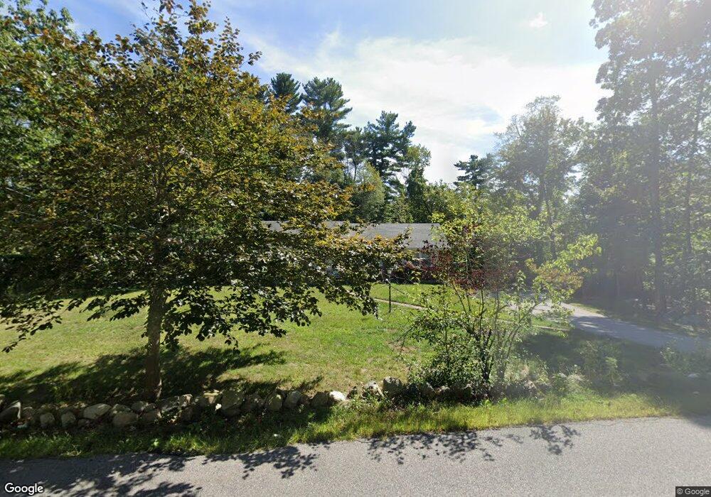
601 First Parish Rd Scituate, MA 02066
Estimated Value: $681,000 - $828,000
3
Beds
2
Baths
1,340
Sq Ft
$569/Sq Ft
Est. Value
About This Home
This home is located at 601 First Parish Rd, Scituate, MA 02066 and is currently estimated at $761,984, approximately $568 per square foot. 601 First Parish Rd is a home located in Plymouth County with nearby schools including Cushing Elementary School, Lester J. Gates Middle School, and Scituate High School.
Ownership History
Date
Name
Owned For
Owner Type
Purchase Details
Closed on
Sep 24, 2021
Sold by
Beale Thomas P
Bought by
Beale Ret
Current Estimated Value
Purchase Details
Closed on
May 4, 1999
Sold by
Beale Richard F and Beale Doris R
Bought by
Beale Terrence and Beale Timothy
Home Financials for this Owner
Home Financials are based on the most recent Mortgage that was taken out on this home.
Original Mortgage
$185,500
Interest Rate
6.95%
Mortgage Type
Purchase Money Mortgage
Create a Home Valuation Report for This Property
The Home Valuation Report is an in-depth analysis detailing your home's value as well as a comparison with similar homes in the area
Home Values in the Area
Average Home Value in this Area
Purchase History
| Date | Buyer | Sale Price | Title Company |
|---|---|---|---|
| Beale Ret | -- | None Available | |
| Beale Terrence | $244,000 | -- |
Source: Public Records
Mortgage History
| Date | Status | Borrower | Loan Amount |
|---|---|---|---|
| Previous Owner | Beale Terrence | $185,500 | |
| Previous Owner | Beale Terrence | $20,000 |
Source: Public Records
Tax History
| Year | Tax Paid | Tax Assessment Tax Assessment Total Assessment is a certain percentage of the fair market value that is determined by local assessors to be the total taxable value of land and additions on the property. | Land | Improvement |
|---|---|---|---|---|
| 2025 | $6,509 | $651,600 | $379,000 | $272,600 |
| 2024 | $6,339 | $611,900 | $344,500 | $267,400 |
| 2023 | $6,210 | $551,200 | $313,300 | $237,900 |
| 2022 | $6,210 | $492,100 | $274,800 | $217,300 |
| 2021 | $5,960 | $447,100 | $261,700 | $185,400 |
| 2020 | $5,684 | $421,000 | $251,600 | $169,400 |
| 2019 | $5,587 | $406,600 | $246,700 | $159,900 |
| 2018 | $5,535 | $396,800 | $263,500 | $133,300 |
| 2017 | $5,253 | $372,800 | $239,500 | $133,300 |
| 2016 | $5,103 | $360,900 | $227,600 | $133,300 |
| 2015 | $4,571 | $348,900 | $215,600 | $133,300 |
Source: Public Records
Map
Nearby Homes
- 627 First Parish Rd
- 537 First Parish Rd
- 2 Webster Farm Way
- 327 Country Way
- 11 Forest Ln
- 9 Forest Ln Unit 9
- 293 Cross St
- 34 Cudworth Rd
- 49 Whittier Dr
- 453 Clapp Rd
- 449 Clapp Rd
- 451 Clapp Rd
- 453 - 455 Clapp Rd
- 25 Webster Farm Way
- 23 Webster Farm Way
- 20 Grace Way Unit 20
- 6 Grace Way Unit 6
- 27 Grace Way
- 3 Webster Farm Way
- 5 Webster Farm Way
- 605 First Parish Rd
- 589 First Parish Rd
- 590 First Parish Rd
- 604 First Parish Rd
- 119 Grove St
- 607 First Parish Rd
- 602 First Parish Rd
- 581 First Parish Rd
- 115 Grove St
- 588 First Parish Rd
- 612 First Parish Rd
- 584 First Parish Rd
- 611 First Parish Rd
- 112 Grove St
- 576 First Parish Rd
- 577R First Parish Rd
- 125 Grove St
- 87 Grove St
- 573 First Parish Rd
- 120 Grove St
Your Personal Tour Guide
Ask me questions while you tour the home.