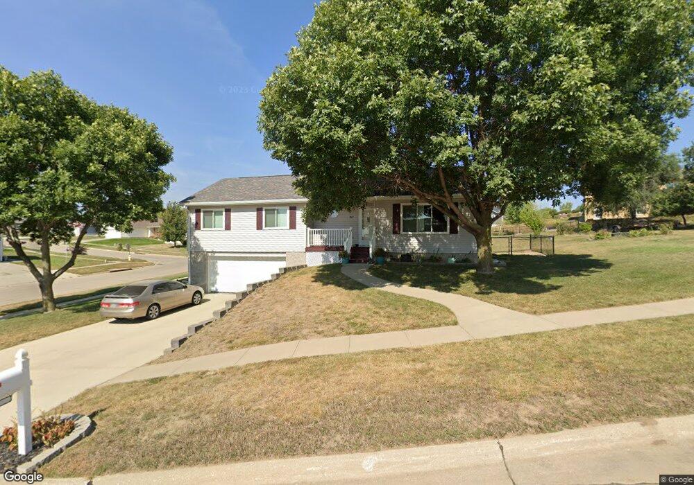
601 Lancaster Cir Sioux City, IA 51103
West Side Sioux City NeighborhoodEstimated Value: $265,000 - $306,000
3
Beds
3
Baths
1,304
Sq Ft
$217/Sq Ft
Est. Value
About This Home
This home is located at 601 Lancaster Cir, Sioux City, IA 51103 and is currently estimated at $282,596, approximately $216 per square foot. 601 Lancaster Cir is a home located in Woodbury County with nearby schools including Loess Hills Elementary School, West Middle School, and West High School.
Ownership History
Date
Name
Owned For
Owner Type
Purchase Details
Closed on
Jul 27, 2016
Sold by
Nissen Stuart J
Bought by
Monroe Jacob G and Monroe Felicia N
Current Estimated Value
Purchase Details
Closed on
Mar 21, 2006
Sold by
Federal Home Loan Mortgage Corporation
Bought by
Nissen Stuart J
Purchase Details
Closed on
Apr 25, 2005
Sold by
Abn Amro Mortgage Goup Inc
Bought by
Federal Home Loan Mortgage Corporation
Purchase Details
Closed on
Apr 12, 2005
Sold by
Carton Smith Lori L and Carton Lori L
Bought by
Abn Amro Bank Group Inc
Create a Home Valuation Report for This Property
The Home Valuation Report is an in-depth analysis detailing your home's value as well as a comparison with similar homes in the area
Home Values in the Area
Average Home Value in this Area
Purchase History
| Date | Buyer | Sale Price | Title Company |
|---|---|---|---|
| Monroe Jacob G | $152,500 | Attorney | |
| Nissen Stuart J | -- | -- | |
| Federal Home Loan Mortgage Corporation | -- | None Available | |
| Abn Amro Bank Group Inc | $130,612 | None Available |
Source: Public Records
Tax History Compared to Growth
Tax History
| Year | Tax Paid | Tax Assessment Tax Assessment Total Assessment is a certain percentage of the fair market value that is determined by local assessors to be the total taxable value of land and additions on the property. | Land | Improvement |
|---|---|---|---|---|
| 2025 | $3,756 | $236,000 | $29,100 | $206,900 |
| 2024 | $3,756 | $216,300 | $29,100 | $187,200 |
| 2023 | $3,534 | $216,300 | $29,100 | $187,200 |
| 2022 | $3,474 | $176,200 | $26,700 | $149,500 |
| 2021 | $3,474 | $176,200 | $26,700 | $149,500 |
| 2020 | $3,468 | $160,600 | $17,900 | $142,700 |
| 2019 | $3,378 | $149,600 | $0 | $0 |
| 2018 | $3,336 | $149,600 | $0 | $0 |
| 2017 | $3,336 | $136,800 | $0 | $0 |
| 2016 | $2,872 | $136,800 | $0 | $0 |
| 2015 | $2,872 | $136,800 | $14,800 | $122,000 |
| 2014 | $2,714 | $128,000 | $20,500 | $107,500 |
Source: Public Records
Map
Nearby Homes
- 612 Lancaster Cir
- 4210 Fieldcrest Dr
- 4266 Fieldcrest Dr
- 519 Ascot St
- 514 Ascot St
- 1440 Burton St
- 3827 Forest View Ave
- 2120 S Jermyn St
- 2917 W 5th St
- 612 Colon St
- 2824 W 14th St
- 2802 W 5th St
- 1919 Riverside Blvd
- 218 S Davidson St
- 2543 W 20th St
- 2411 Villa Ave
- 800 Paul Ave
- 728 Prairie Blvd
- 411 Judd St
- 1016 Paul Ave
- 4035 Fieldcrest Dr
- 4041 Fieldcrest Dr
- 607 Lancaster Cir
- 4017 Fieldcrest Dr
- 542 Forest View Ave
- 4064 Normandy St
- 4011 Fieldcrest Dr
- 4058 Normandy St
- 536 Forest View Ave
- 4024 Fieldcrest Dr
- 555 Forest View Ave
- 606 Lancaster Cir
- 4052 Normandy St
- 4012 Fieldcrest Dr
- 4046 Normandy St
- 549 Forest View Ave
- 530 Forest View Ave
- 4036 Normandy St
- 601 Brentwood St
- 4006 Fieldcrest Dr