Estimated Value: $105,000 - $127,000
4
Beds
1
Bath
1,107
Sq Ft
$105/Sq Ft
Est. Value
About This Home
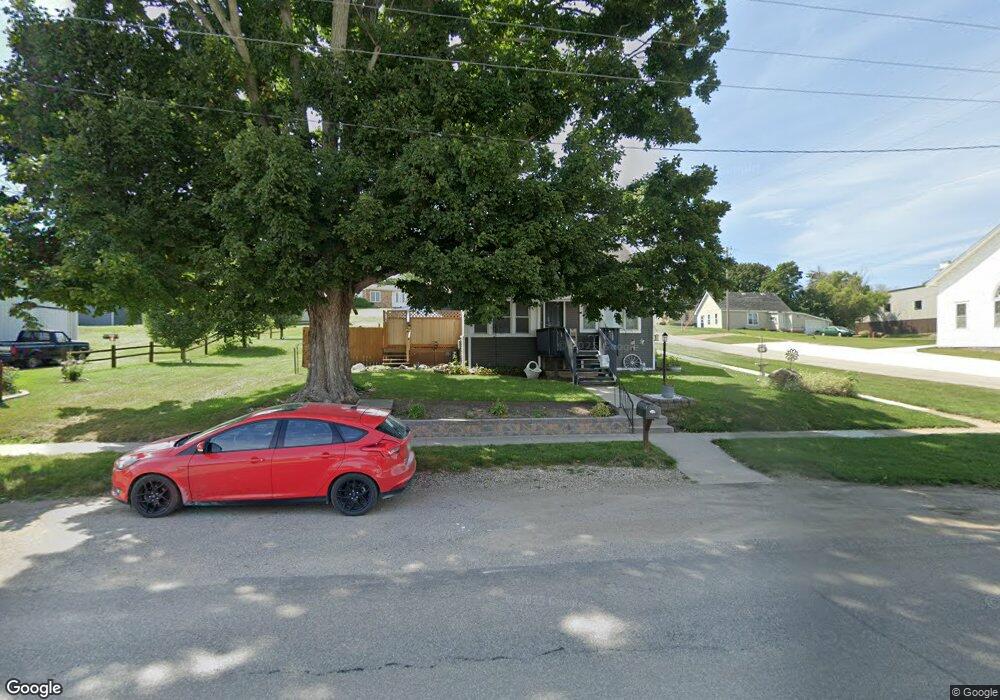
This home is located at 601 Main St, Union, IA 50258 and is currently estimated at $116,537, approximately $105 per square foot. 601 Main St is a home located in Hardin County with nearby schools including BCLUW Elementary School, BCLUW Middle School, and BCLUW High School.
Create a Home Valuation Report for This Property
The Home Valuation Report is an in-depth analysis detailing your home's value as well as a comparison with similar homes in the area
Tax History
| Year | Tax Paid | Tax Assessment Tax Assessment Total Assessment is a certain percentage of the fair market value that is determined by local assessors to be the total taxable value of land and additions on the property. | Land | Improvement |
|---|---|---|---|---|
| 2025 | $988 | $91,930 | $3,920 | $88,010 |
| 2024 | $988 | $71,620 | $3,920 | $67,700 |
| 2023 | $1,006 | $71,570 | $3,870 | $67,700 |
| 2022 | $952 | $68,630 | $3,760 | $64,870 |
| 2021 | $952 | $68,630 | $3,760 | $64,870 |
| 2020 | $1,196 | $57,240 | $3,760 | $53,480 |
| 2019 | $1,088 | $81,220 | $0 | $0 |
| 2018 | $1,088 | $73,840 | $0 | $0 |
| 2017 | $1,070 | $67,120 | $0 | $0 |
| 2016 | $970 | $67,120 | $0 | $0 |
| 2015 | $1,100 | $67,120 | $0 | $0 |
| 2014 | $1,098 | $67,120 | $0 | $0 |
Source: Public Records
Map
Nearby Homes
Your Personal Tour Guide
Ask me questions while you tour the home.