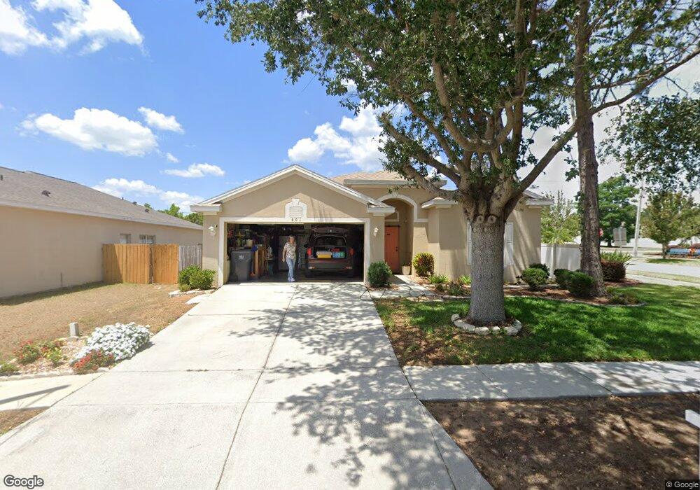
601 Maple Pointe Dr Unit B Seffner, FL 33584
Estimated Value: $330,453 - $376,000
3
Beds
2
Baths
1,510
Sq Ft
$233/Sq Ft
Est. Value
About This Home
This home is located at 601 Maple Pointe Dr Unit B, Seffner, FL 33584 and is currently estimated at $351,613, approximately $232 per square foot. 601 Maple Pointe Dr Unit B is a home located in Hillsborough County with nearby schools including Lopez Elementary School, Burnett Middle School, and Armwood High School.
Ownership History
Date
Name
Owned For
Owner Type
Purchase Details
Closed on
Dec 23, 2003
Sold by
The Ryland Group Inc
Bought by
Cates Don H and Cates Patricia T
Current Estimated Value
Home Financials for this Owner
Home Financials are based on the most recent Mortgage that was taken out on this home.
Original Mortgage
$135,238
Outstanding Balance
$61,829
Interest Rate
6.03%
Mortgage Type
FHA
Estimated Equity
$289,784
Create a Home Valuation Report for This Property
The Home Valuation Report is an in-depth analysis detailing your home's value as well as a comparison with similar homes in the area
Home Values in the Area
Average Home Value in this Area
Purchase History
| Date | Buyer | Sale Price | Title Company |
|---|---|---|---|
| Cates Don H | $136,400 | Ryland Title Company |
Source: Public Records
Mortgage History
| Date | Status | Borrower | Loan Amount |
|---|---|---|---|
| Open | Cates Don H | $135,238 |
Source: Public Records
Tax History
| Year | Tax Paid | Tax Assessment Tax Assessment Total Assessment is a certain percentage of the fair market value that is determined by local assessors to be the total taxable value of land and additions on the property. | Land | Improvement |
|---|---|---|---|---|
| 2025 | $1,750 | $108,811 | -- | -- |
| 2024 | $1,750 | $105,744 | -- | -- |
| 2023 | $1,659 | $102,664 | $0 | $0 |
| 2022 | $1,834 | $99,674 | $0 | $0 |
| 2021 | $1,793 | $96,771 | $0 | $0 |
| 2020 | $1,715 | $95,435 | $0 | $0 |
| 2019 | $1,633 | $93,289 | $0 | $0 |
| 2018 | $1,582 | $91,550 | $0 | $0 |
| 2017 | $1,554 | $132,628 | $0 | $0 |
| 2016 | $1,519 | $87,823 | $0 | $0 |
| 2015 | $1,529 | $87,213 | $0 | $0 |
| 2014 | $1,506 | $86,521 | $0 | $0 |
| 2013 | -- | $85,242 | $0 | $0 |
Source: Public Records
Map
Nearby Homes
- 762 Parsons Mooring Ct
- 719 Vineyard Reserve Ct
- 763 Star Pointe Dr
- 788 Parsons Mooring Ct
- 503 de Resine Carre St Unit 503DR
- 603 U S 92
- 502 Calhoun Ave
- 920 Brinwood Dr
- 634 Auxerre Cir Unit 634AC
- 605 de Resine Carre St Unit 605DR
- 131 Elina Sky Dr
- 801 N Kingsway Rd
- 106 Phillips Dr
- 308 Abyhara Ave Unit 308
- 821 Walnut Dr
- 109 Azul Dr
- 1241 Florablu Dr
- 106 Winston Manor Cir
- 1244 Florablu Dr
- 1246 Florablu Dr
- 603 Maple Pointe Dr Unit B
- 0 N Parsons Ave
- 518 Magnolia Pointe Ct
- 605 Maple Pointe Dr
- 704 Vineyard Reserve Ct
- 604 Maple Pointe Dr
- 509 Maple Pointe Dr Unit A
- 516 Magnolia Pointe Ct
- 512 Maple Pointe Dr Unit A
- 607 Maple Pointe Dr Unit B
- 606 Maple Pointe Dr
- 510 Maple Pointe Dr Unit A
- 705 Vineyard Reserve Ct
- 514 Magnolia Pointe Ct
- 508 Maple Pointe Dr
- 706 Vineyard Reserve Ct
- 505 Maple Pointe Dr
- 608 Maple Pointe Dr
- 506 Maple Pointe Dr Unit A
Your Personal Tour Guide
Ask me questions while you tour the home.