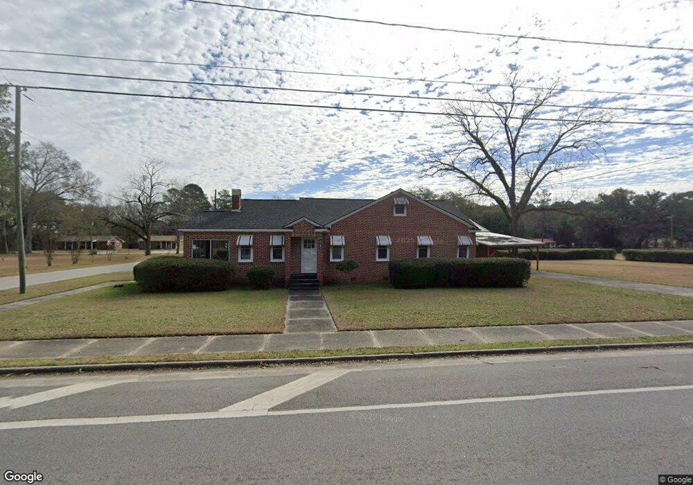
601 S Main St Collins, GA 30421
Estimated Value: $111,000 - $164,000
Studio
2
Baths
1,683
Sq Ft
$82/Sq Ft
Est. Value
About This Home
This home is located at 601 S Main St, Collins, GA 30421 and is currently estimated at $137,340, approximately $81 per square foot. 601 S Main St is a home located in Tattnall County.
Ownership History
Date
Name
Owned For
Owner Type
Purchase Details
Closed on
Sep 17, 2009
Sold by
Mccall John W and Mccall Terrell
Bought by
Jtm Land Holdings Llc
Current Estimated Value
Purchase Details
Closed on
Sep 16, 2009
Sold by
Mccall Josh
Bought by
Mccall John W and Mccall Terrell
Purchase Details
Closed on
Sep 15, 2009
Sold by
Mccall Chad
Bought by
Mccall John W and Mccall Terrell
Purchase Details
Closed on
Mar 14, 2009
Sold by
Mccall Julian T
Bought by
Mccall John and Mccall Terrell
Create a Home Valuation Report for This Property
The Home Valuation Report is an in-depth analysis detailing your home's value as well as a comparison with similar homes in the area
Purchase History
| Date | Buyer | Sale Price | Title Company |
|---|---|---|---|
| Jtm Land Holdings Llc | -- | -- | |
| Mccall John W | -- | -- | |
| Mccall John W | -- | -- | |
| Mccall John | -- | -- |
Source: Public Records
Tax History
| Year | Tax Paid | Tax Assessment Tax Assessment Total Assessment is a certain percentage of the fair market value that is determined by local assessors to be the total taxable value of land and additions on the property. | Land | Improvement |
|---|---|---|---|---|
| 2025 | $1,761 | $56,900 | $800 | $56,100 |
| 2024 | $1,352 | $42,940 | $800 | $42,140 |
| 2023 | $1,202 | $42,940 | $800 | $42,140 |
| 2022 | $991 | $35,420 | $800 | $34,620 |
| 2021 | $846 | $31,156 | $800 | $30,356 |
| 2020 | $847 | $31,156 | $800 | $30,356 |
| 2019 | $739 | $26,676 | $800 | $25,876 |
| 2018 | $752 | $26,676 | $800 | $25,876 |
| 2017 | $740 | $26,676 | $800 | $25,876 |
| 2016 | $763 | $26,876 | $800 | $26,076 |
| 2015 | -- | $27,036 | $800 | $26,236 |
| 2014 | -- | $28,516 | $800 | $27,716 |
| 2013 | -- | $28,516 | $800 | $27,716 |
Source: Public Records
Map
Nearby Homes
- 0 Jim Cannon Rd Unit SA346455
- 1 Lynntown Rd
- 2470 Old Reidsville Collins Rd
- 747 Ralph Perry Cir
- 9297 Lynntown Rd
- 459 Alexander Mill Pond Rd
- 459 Louie Hightower Rd
- 585 Brangus Ln
- 106 Willis Rewis Rd
- 528 N Main Hwy 23
- 188 John Jarriel Rd
- 201 Claude Anderson Rd
- 274 Barney Dr
- 75 Gov Seay Rd
- 52 Northgate Ln
- 92 Graham Ln
- 62 Manassas Station Rd
- 11769 Henry St
- 592 Clifford Meeks Rd
- 211 E Brazell St
- 609 SE Pearl St
- 105 Live Oak St SE
- 560 S Main St
- 135 Live Oak St SW
- 100 Live Oak St SW
- 611 S Main St
- 500 S Main St
- 608 S Main St
- 140 Live Oak St SW
- 605 Old Reidsville Collins Rd
- 605 Old Reidsville Collins Rd
- 111 SE Holland St
- 0 Jarriel St Unit 7162477
- 110 SE Holland St
- 106 SE Holland St
- 113 SE Holland St
- 408 S Main St
- 207 Live Oak St SW
- 203 Live Oak St SW
- 208 SE Jarriel St
Your Personal Tour Guide
Ask me questions while you tour the home.