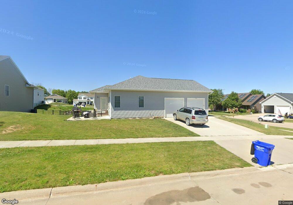
601 Sullivan St West Branch, IA 52358
Estimated Value: $308,000 - $480,000
--
Bed
--
Bath
1,585
Sq Ft
$267/Sq Ft
Est. Value
About This Home
This home is located at 601 Sullivan St, West Branch, IA 52358 and is currently estimated at $423,978, approximately $267 per square foot. 601 Sullivan St is a home with nearby schools including Hoover Elementary School, West Branch Middle School, and West Branch High School.
Ownership History
Date
Name
Owned For
Owner Type
Purchase Details
Closed on
May 7, 2019
Sold by
Hansen Tracy A and Hansen Kay E
Bought by
Hansen Megan L and Duuwa Ryan T
Current Estimated Value
Home Financials for this Owner
Home Financials are based on the most recent Mortgage that was taken out on this home.
Original Mortgage
$7,000
Interest Rate
4.1%
Mortgage Type
Unknown
Purchase Details
Closed on
Mar 17, 2010
Sold by
Pv Properties Llc
Bought by
Nosbish Thomas W and Nosbish Brenda J
Create a Home Valuation Report for This Property
The Home Valuation Report is an in-depth analysis detailing your home's value as well as a comparison with similar homes in the area
Home Values in the Area
Average Home Value in this Area
Purchase History
| Date | Buyer | Sale Price | Title Company |
|---|---|---|---|
| Hansen Megan L | $345,000 | -- | |
| Nosbish Thomas W | $37,000 | None Available |
Source: Public Records
Mortgage History
| Date | Status | Borrower | Loan Amount |
|---|---|---|---|
| Closed | Hansen Megan L | $7,000 | |
| Open | Hansen Megan L | $310,500 |
Source: Public Records
Tax History Compared to Growth
Tax History
| Year | Tax Paid | Tax Assessment Tax Assessment Total Assessment is a certain percentage of the fair market value that is determined by local assessors to be the total taxable value of land and additions on the property. | Land | Improvement |
|---|---|---|---|---|
| 2025 | $7,430 | $451,330 | $82,940 | $368,390 |
| 2024 | $7,430 | $437,320 | $82,940 | $354,380 |
| 2023 | $7,178 | $427,510 | $82,940 | $344,570 |
| 2022 | $6,526 | $337,420 | $59,900 | $277,520 |
| 2021 | $6,642 | $337,420 | $59,900 | $277,520 |
| 2020 | $894 | $328,200 | $50,680 | $277,520 |
| 2019 | $18 | $1,000 | $50,680 | $277,520 |
| 2018 | $18 | $1,000 | $0 | $0 |
| 2017 | $18 | $950 | $0 | $0 |
| 2016 | $18 | $950 | $0 | $0 |
| 2015 | $18 | $950 | $0 | $0 |
| 2014 | $18 | $950 | $0 | $0 |
Source: Public Records
Map
Nearby Homes
- 609 W Orange St
- 611 Riley Ln
- 173 Hilltop Dr
- Lot 17 Meadows Subdivision Part 5
- 719 Sullivan St
- 212 Dawson Dr
- 817 Prairie View Dr
- Lot 17 the Meadows Subdivision Part 5
- 436 Dawson Dr
- Lot 19 Meadows Subdivision Part 6
- Lot 17 Meadows Subdivision Part 6
- Lot 16 Meadows Subdivision Part 6
- Lot 18 Meadows Subdivision Part 6
- Lot 15 Meadows Subdivision Part 6
- Lot 14 Meadows Subdivision Part 6
- Lot 6 Meadows Subdivision Part 6
- Lot 12 Meadows Subdivision Part 6
- Lot 11 Meadows Subdivision Part 6
- Lot 13 Meadows Subdivision Part 6
- Lot 3 Meadows Subdivision Part 6
- 304 Gilbert Dr
- 603 Sullivan St
- 600 Sullivan St
- 401 Gilbert Dr
- 307 Gilbert Dr
- 605 Sullivan St
- 403 Gilbert Dr
- 604 Sullivan St
- 305 Gilbert Dr
- 610 Prairie View Dr
- Lot 10 Loethen Ridge Estates
- 601 W Orange St
- 603 W Orange St
- 607 Sullivan St
- 605 W Orange St
- 600 Prairie View Dr
- 606 Sullivan St
- 409 Gilbert Dr
- 614 Prairie View Dr
- 601 Prairie View Dr