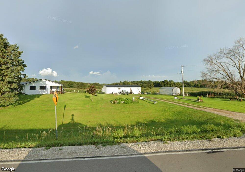
6010 32nd Ave Shellsburg, IA 52332
Estimated Value: $289,000 - $365,204
3
Beds
1
Bath
1,216
Sq Ft
$261/Sq Ft
Est. Value
About This Home
This home is located at 6010 32nd Ave, Shellsburg, IA 52332 and is currently estimated at $316,801, approximately $260 per square foot. 6010 32nd Ave is a home located in Benton County with nearby schools including Shellsburg Elementary School, Vinton-Shellsburg Middle School, and Vinton-Shellsburg High School.
Ownership History
Date
Name
Owned For
Owner Type
Purchase Details
Closed on
Dec 3, 2019
Sold by
Maynard Colleen C
Bought by
Maynard Robert J and Maynard Christina M
Current Estimated Value
Home Financials for this Owner
Home Financials are based on the most recent Mortgage that was taken out on this home.
Original Mortgage
$185,000
Outstanding Balance
$162,782
Interest Rate
3.5%
Mortgage Type
Adjustable Rate Mortgage/ARM
Estimated Equity
$154,019
Create a Home Valuation Report for This Property
The Home Valuation Report is an in-depth analysis detailing your home's value as well as a comparison with similar homes in the area
Purchase History
| Date | Buyer | Sale Price | Title Company |
|---|---|---|---|
| Maynard Robert J | -- | None Available |
Source: Public Records
Mortgage History
| Date | Status | Borrower | Loan Amount |
|---|---|---|---|
| Open | Maynard Robert J | $185,000 |
Source: Public Records
Tax History
| Year | Tax Paid | Tax Assessment Tax Assessment Total Assessment is a certain percentage of the fair market value that is determined by local assessors to be the total taxable value of land and additions on the property. | Land | Improvement |
|---|---|---|---|---|
| 2025 | $2,956 | $235,200 | $28,100 | $207,100 |
| 2024 | $2,956 | $209,300 | $22,800 | $186,500 |
| 2023 | $2,600 | $209,300 | $22,800 | $186,500 |
| 2022 | $2,562 | $157,100 | $17,500 | $139,600 |
| 2021 | $2,562 | $158,000 | $18,400 | $139,600 |
| 2020 | $1,980 | $140,400 | $18,300 | $122,100 |
| 2019 | $1,944 | $140,400 | $18,300 | $122,100 |
| 2018 | $1,876 | $145,000 | $24,400 | $120,600 |
| 2017 | $1,832 | $145,000 | $24,400 | $120,600 |
| 2016 | $1,772 | $141,800 | $29,500 | $112,300 |
| 2015 | $1,772 | $141,800 | $29,500 | $112,300 |
| 2014 | $1,948 | $157,200 | $0 | $0 |
Source: Public Records
Map
Nearby Homes
- 5995 32nd Ave
- 2541 61st Street Ln Unit Lot 9
- 3090 59th Saint Trail
- 3127 61st Street Ln
- 3299 58th Street Dr
- 0 31st Ave
- 6240 33rd Avenue Dr
- 2767 61st Street Trail
- 2866 60th St
- 208 Northgate St NW
- 201 Grove St NW
- 401 Main St NW
- 6127 32nd Ave Unit Lot 3
- 4260 Indian Boundary Rd
- 101 Meadow Dr
- 103 Meadow Dr
- 105 Meadow Dr
- 804 Fairway Dr
- 700 Sunset Blvd
- 2740 61st Street Ln
- 6009 32nd Ave
- 5995 32nd Ave
- 6025 32nd Ave
- 5990 32nd Ave
- 6045 32nd Ave
- 5979 32nd Ave
- 6062 32nd Ave
- 6071 32nd Ave
- 5908 32nd Ave
- 5976 32nd Ave
- 3202 59th Street Trail
- 3260 59th Street Trail
- 6074 32nd Ave
- 6075 32nd Ave
- 3203 59th Street Trail
- 3190 59th Street Trail
- 3216 59th Saint Trail
- 3193 59th Street Trail
- 3212 59th Street Trail
- 3188 59th Street Trail
Your Personal Tour Guide
Ask me questions while you tour the home.