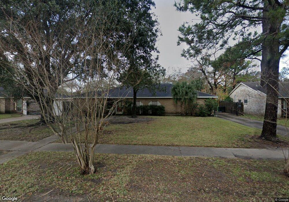
6010 Burning Tree Dr Houston, TX 77036
Sharpstown NeighborhoodEstimated Value: $295,000 - $334,000
3
Beds
2
Baths
2,044
Sq Ft
$155/Sq Ft
Est. Value
About This Home
This home is located at 6010 Burning Tree Dr, Houston, TX 77036 and is currently estimated at $317,826, approximately $155 per square foot. 6010 Burning Tree Dr is a home located in Harris County with nearby schools including Emerson Elementary School, Paul Revere Middle School, and Wisdom High School.
Ownership History
Date
Name
Owned For
Owner Type
Purchase Details
Closed on
Nov 24, 2008
Sold by
Clark Daniel
Bought by
Li Meng Hua and Wang Poyu
Current Estimated Value
Home Financials for this Owner
Home Financials are based on the most recent Mortgage that was taken out on this home.
Original Mortgage
$119,900
Outstanding Balance
$80,321
Interest Rate
6.5%
Mortgage Type
Purchase Money Mortgage
Estimated Equity
$237,505
Purchase Details
Closed on
Aug 4, 1999
Sold by
Noyes Robert Slater and Noyes Robert S
Bought by
Clark Daniel and Cartledge Vicki
Home Financials for this Owner
Home Financials are based on the most recent Mortgage that was taken out on this home.
Original Mortgage
$80,800
Interest Rate
7.63%
Create a Home Valuation Report for This Property
The Home Valuation Report is an in-depth analysis detailing your home's value as well as a comparison with similar homes in the area
Home Values in the Area
Average Home Value in this Area
Purchase History
| Date | Buyer | Sale Price | Title Company |
|---|---|---|---|
| Li Meng Hua | -- | First American Title | |
| Clark Daniel | -- | Alamo Title 40 |
Source: Public Records
Mortgage History
| Date | Status | Borrower | Loan Amount |
|---|---|---|---|
| Open | Li Meng Hua | $119,900 | |
| Previous Owner | Clark Daniel | $80,800 |
Source: Public Records
Tax History Compared to Growth
Tax History
| Year | Tax Paid | Tax Assessment Tax Assessment Total Assessment is a certain percentage of the fair market value that is determined by local assessors to be the total taxable value of land and additions on the property. | Land | Improvement |
|---|---|---|---|---|
| 2025 | $513 | $296,904 | $71,959 | $224,945 |
| 2024 | $513 | $271,904 | $71,959 | $199,945 |
| 2023 | $513 | $277,185 | $71,959 | $205,226 |
| 2022 | $5,998 | $281,985 | $71,959 | $210,026 |
| 2021 | $5,569 | $249,334 | $64,249 | $185,085 |
| 2020 | $5,434 | $217,222 | $53,969 | $163,253 |
| 2019 | $5,861 | $239,121 | $53,969 | $185,152 |
| 2018 | $4,508 | $226,508 | $53,969 | $172,539 |
| 2017 | $5,202 | $222,752 | $53,969 | $168,783 |
| 2016 | $4,729 | $198,774 | $53,969 | $144,805 |
| 2015 | $3,385 | $198,774 | $53,969 | $144,805 |
| 2014 | $3,385 | $180,226 | $53,969 | $126,257 |
Source: Public Records
Map
Nearby Homes
- 8579 Sands Point Dr Unit 102
- 8555 Sands Point Dr Unit 90
- 8543 Sands Point Dr
- 6411 Redding Rd
- 8435 Sands Point Dr
- 8411 Sands Point Dr Unit 18
- 8359 Sands Point Dr Unit 218
- 8275 Sands Point Dr Unit 176
- 8267 Sands Point Dr Unit 172
- 8257 Sands Point Dr Unit 167
- 8231 Sands Point Dr Unit 154
- 8153 Sands Point Dr Unit 115
- 6602 Harbor Town Dr Unit 1207
- 6602 Harbor Town Dr Unit 1202
- 6500 Harbor Town Dr Unit 3208
- 6500 Harbor Town Dr Unit 2808
- 6500 Harbor Town Dr Unit 3204
- 6500 Harbor Town Dr Unit 3408
- 6500 Harbor Town Dr Unit 2902
- 8223 Golf Green Cir
- 6102 Burning Tree Dr
- 6006 Burning Tree Dr
- 6011 Redding Rd
- 6106 Burning Tree Dr
- 6002 Burning Tree Dr
- 6103 Redding Rd
- 6007 Redding Rd
- 6107 Redding Rd
- 6005 Burning Tree Dr
- 6003 Redding Rd
- 6101 Burning Tree Dr
- 6110 Burning Tree Dr
- 6105 Burning Tree Dr
- 6111 Redding Rd
- 5910 Burning Tree Dr
- 6202 Burning Tree Dr
- 6109 Burning Tree Dr
- 5911 Redding Rd
- 6203 Redding Rd
- 6010 Redding Rd