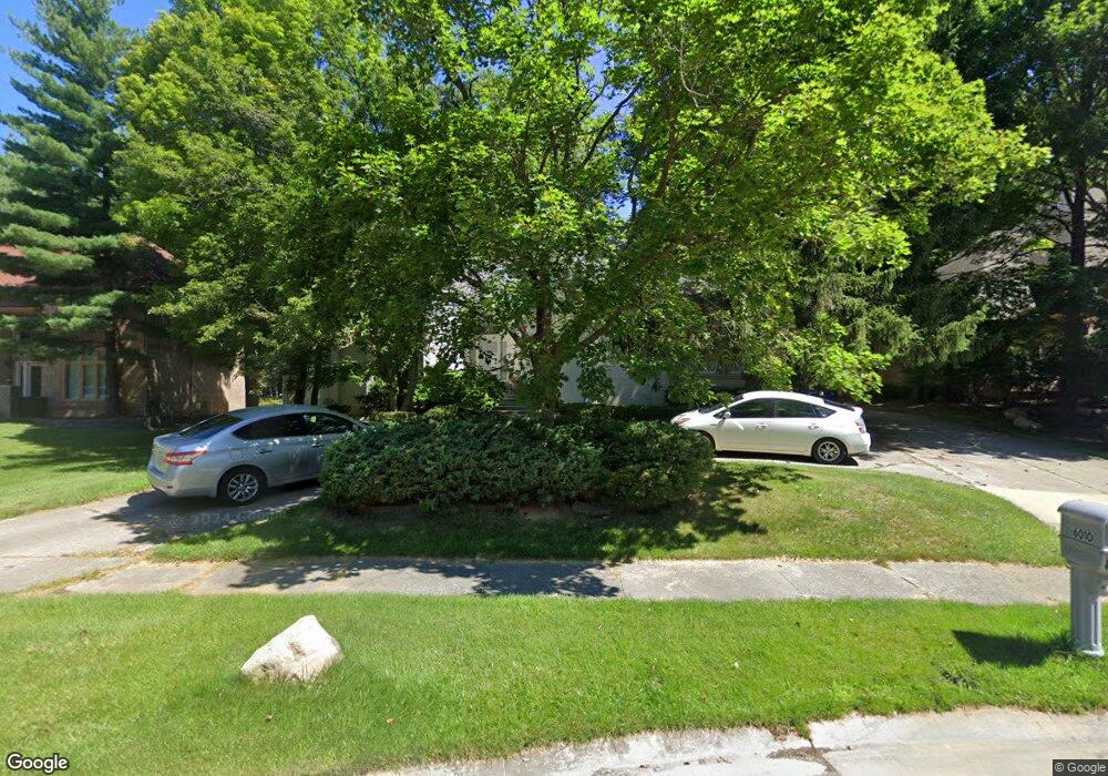
6010 Charles Dr West Bloomfield, MI 48322
Estimated Value: $585,216 - $791,000
4
Beds
4
Baths
3,274
Sq Ft
$212/Sq Ft
Est. Value
About This Home
This home is located at 6010 Charles Dr, West Bloomfield, MI 48322 and is currently estimated at $693,804, approximately $211 per square foot. 6010 Charles Dr is a home located in Oakland County with nearby schools including Sheiko Elementary School, West Bloomfield Middle School, and Bloomfield Maples Montessori.
Ownership History
Date
Name
Owned For
Owner Type
Purchase Details
Closed on
Jan 11, 2008
Sold by
Hedni Ravi and Hedni Veena Charl
Bought by
Goldman Ezra Noam and Goldman Jennifer Dawn
Current Estimated Value
Home Financials for this Owner
Home Financials are based on the most recent Mortgage that was taken out on this home.
Original Mortgage
$287,500
Outstanding Balance
$179,480
Interest Rate
5.95%
Mortgage Type
New Conventional
Estimated Equity
$514,324
Create a Home Valuation Report for This Property
The Home Valuation Report is an in-depth analysis detailing your home's value as well as a comparison with similar homes in the area
Home Values in the Area
Average Home Value in this Area
Purchase History
| Date | Buyer | Sale Price | Title Company |
|---|---|---|---|
| Goldman Ezra Noam | $387,500 | Continental Title Insurance |
Source: Public Records
Mortgage History
| Date | Status | Borrower | Loan Amount |
|---|---|---|---|
| Open | Goldman Ezra Noam | $287,500 |
Source: Public Records
Tax History Compared to Growth
Tax History
| Year | Tax Paid | Tax Assessment Tax Assessment Total Assessment is a certain percentage of the fair market value that is determined by local assessors to be the total taxable value of land and additions on the property. | Land | Improvement |
|---|---|---|---|---|
| 2024 | $4,627 | $259,930 | $0 | $0 |
| 2022 | $4,430 | $214,490 | $32,610 | $181,880 |
| 2021 | $6,769 | $217,290 | $0 | $0 |
| 2020 | $4,341 | $210,230 | $32,610 | $177,620 |
| 2018 | $6,527 | $204,640 | $16,310 | $188,330 |
| 2015 | -- | $203,660 | $0 | $0 |
| 2014 | -- | $184,340 | $0 | $0 |
| 2011 | -- | $160,370 | $0 | $0 |
Source: Public Records
Map
Nearby Homes
- 6067 Charles Dr
- 5016 Patrick Rd
- 5023 Meadowbrook Dr
- 5015 Langlewood Dr
- 5710 Hobnail Cir
- 4800 Faircourt Dr
- 6323 Potomac Cir Unit 22
- 5946 Cherry Crest Dr
- 5120 Langlewood Ct
- 4185 Pinehurst Ct
- 5106 Rock Run
- 5216 Brett Ct Unit 53
- 5353 Wright Way W
- 5720 Beauchamp
- 6322 Pepper Hill St Unit 62
- 6222 Pepper Hill St
- 4161 Breckenridge Dr
- 5353 W Bloomfield Lake Rd
- 6121 Westbrooke Dr Unit 7
- 6607 Westbrooke Ct
- 6000 Charles Dr
- 6022 Charles Dr
- 4689 Patrick Rd
- 5990 Charles Dr
- 4763 Patrick Rd
- 4667 Patrick Rd
- 6030 Charles Dr
- 4857 Patrick Rd
- 4740 Bonnie Ct
- 4645 Patrick Rd
- 6051 Charles Dr
- 4720 Bonnie Ct
- 6040 Charles Dr
- 5990 Shaun Rd
- 5991 Shaun Rd
- 4855 Patrick Rd
- 6020 Dunmore Dr
- 4760 Bonnie Ct
- 4796 Patrick Rd
- 4652 Patrick Rd