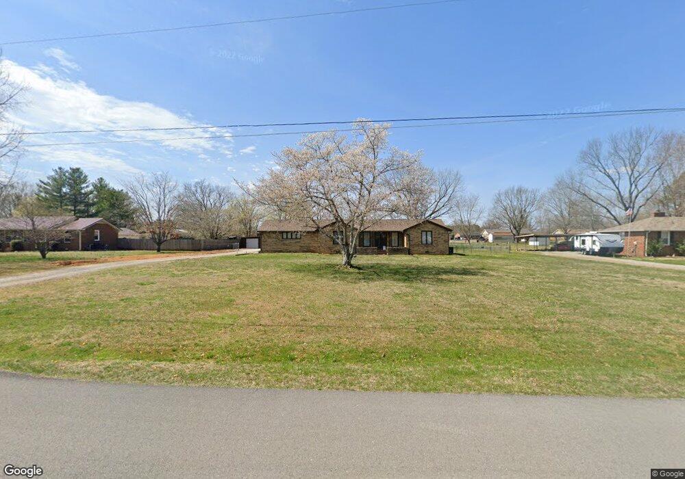
6011 Adams Dr Murfreesboro, TN 37129
Estimated Value: $362,610 - $468,000
--
Bed
2
Baths
1,964
Sq Ft
$212/Sq Ft
Est. Value
About This Home
This home is located at 6011 Adams Dr, Murfreesboro, TN 37129 and is currently estimated at $417,153, approximately $212 per square foot. 6011 Adams Dr is a home located in Rutherford County with nearby schools including Stewartsboro Elementary School, Blackman Middle School, and Blackman High School.
Ownership History
Date
Name
Owned For
Owner Type
Purchase Details
Closed on
Apr 12, 2007
Sold by
Martin Michael L
Bought by
Lee Martin Michael and Lee Billie J
Current Estimated Value
Home Financials for this Owner
Home Financials are based on the most recent Mortgage that was taken out on this home.
Original Mortgage
$154,700
Outstanding Balance
$93,278
Interest Rate
6.1%
Estimated Equity
$323,875
Purchase Details
Closed on
Dec 30, 1997
Sold by
Martin Michael L
Bought by
Martin Michael L
Create a Home Valuation Report for This Property
The Home Valuation Report is an in-depth analysis detailing your home's value as well as a comparison with similar homes in the area
Home Values in the Area
Average Home Value in this Area
Purchase History
| Date | Buyer | Sale Price | Title Company |
|---|---|---|---|
| Lee Martin Michael | -- | -- | |
| Martin Michael L | -- | -- |
Source: Public Records
Mortgage History
| Date | Status | Borrower | Loan Amount |
|---|---|---|---|
| Open | Martin Michael L | $154,700 |
Source: Public Records
Tax History Compared to Growth
Tax History
| Year | Tax Paid | Tax Assessment Tax Assessment Total Assessment is a certain percentage of the fair market value that is determined by local assessors to be the total taxable value of land and additions on the property. | Land | Improvement |
|---|---|---|---|---|
| 2025 | $1,569 | $83,638 | $13,750 | $69,888 |
| 2024 | $1,569 | $83,638 | $13,750 | $69,888 |
| 2023 | $1,569 | $83,638 | $13,750 | $69,888 |
| 2022 | $1,285 | $79,538 | $13,750 | $65,788 |
| 2021 | $1,191 | $53,663 | $7,500 | $46,163 |
| 2020 | $1,191 | $53,663 | $7,500 | $46,163 |
| 2019 | $1,191 | $53,663 | $7,500 | $46,163 |
| 2018 | $1,127 | $53,663 | $0 | $0 |
| 2017 | $1,059 | $39,525 | $0 | $0 |
| 2016 | $1,059 | $39,525 | $0 | $0 |
| 2015 | $1,059 | $39,525 | $0 | $0 |
| 2014 | $983 | $39,525 | $0 | $0 |
| 2013 | -- | $41,175 | $0 | $0 |
Source: Public Records
Map
Nearby Homes
- 7523 Chapin Dr
- 6904 Old Nashville Hwy
- 7624 Chapin Dr
- 7632 Chapin Dr
- 7709 Chapin Dr
- 7705 Chapin Dr
- 7620 Chapin Dr
- 7612 Chapin Dr
- 7713 Chapin Dr
- 7625 Chapin Dr
- 7617 Chapin Dr
- 7621 Chapin Dr
- 7621 Danswerk Dr
- 7629 Chapin Dr
- 7613 Chapin Dr
- Lowry Plan at Sycamore Grove
- Erikson Plan at Sycamore Grove
- Elizabeth Plan at Sycamore Grove
- Davidson Plan at Sycamore Grove
- Bradley Plan at Sycamore Grove
- 6003 Adams Dr
- 6019 Adams Dr
- 6104 Sedgeridge Ave
- 6110 Sedgeridge Ave
- 6092 Sedgeridge Ave
- 5949 Adams Dr
- 6027 Adams Dr
- 6116 Sedgeridge Ave
- 6084 Sedgeridge Ave
- 6020 Adams Dr
- 6004 Adams Dr
- 6012 Adams Dr
- 6120 Sedgeridge Ave
- 6076 Sedgeridge Ave
- 5943 Adams Dr
- 6035 Adams Dr
- 6105 Sedgeridge Ave
- 6028 Adams Dr
- 6128 Sedgeridge Ave
- 6115 Sedgeridge Ave