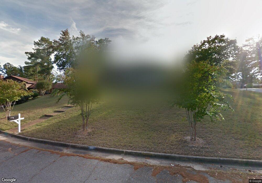
6011 Chrisbin Dr Columbus, GA 31909
Estimated Value: $295,846 - $348,000
4
Beds
4
Baths
2,600
Sq Ft
$123/Sq Ft
Est. Value
About This Home
This home is located at 6011 Chrisbin Dr, Columbus, GA 31909 and is currently estimated at $318,962, approximately $122 per square foot. 6011 Chrisbin Dr is a home located in Muscogee County with nearby schools including Blanchard Elementary School, Veterans Memorial Middle School, and Hardaway High School.
Ownership History
Date
Name
Owned For
Owner Type
Purchase Details
Closed on
Dec 28, 2007
Sold by
Rice Anthony S
Bought by
Rice Anthony S and Rice Carmen Akin
Current Estimated Value
Home Financials for this Owner
Home Financials are based on the most recent Mortgage that was taken out on this home.
Original Mortgage
$142,800
Outstanding Balance
$90,373
Interest Rate
6.21%
Mortgage Type
Purchase Money Mortgage
Estimated Equity
$228,589
Purchase Details
Closed on
Dec 4, 2007
Sold by
Huston Joseph B and Huston Lauren J
Bought by
Kennon Gerry L and Kennon Melinda B
Home Financials for this Owner
Home Financials are based on the most recent Mortgage that was taken out on this home.
Original Mortgage
$142,800
Outstanding Balance
$90,373
Interest Rate
6.21%
Mortgage Type
Purchase Money Mortgage
Estimated Equity
$228,589
Create a Home Valuation Report for This Property
The Home Valuation Report is an in-depth analysis detailing your home's value as well as a comparison with similar homes in the area
Home Values in the Area
Average Home Value in this Area
Purchase History
| Date | Buyer | Sale Price | Title Company |
|---|---|---|---|
| Rice Anthony S | -- | None Available | |
| Rice Anthony S | $178,500 | None Available | |
| Kennon Gerry L | $164,901 | None Available |
Source: Public Records
Mortgage History
| Date | Status | Borrower | Loan Amount |
|---|---|---|---|
| Open | Rice Anthony S | $142,800 |
Source: Public Records
Tax History Compared to Growth
Tax History
| Year | Tax Paid | Tax Assessment Tax Assessment Total Assessment is a certain percentage of the fair market value that is determined by local assessors to be the total taxable value of land and additions on the property. | Land | Improvement |
|---|---|---|---|---|
| 2025 | $2,995 | $94,616 | $13,616 | $81,000 |
| 2024 | $2,994 | $94,616 | $13,616 | $81,000 |
| 2023 | $1,391 | $94,616 | $13,616 | $81,000 |
| 2022 | $3,122 | $59,256 | $13,616 | $45,640 |
| 2021 | $3,115 | $61,728 | $13,616 | $48,112 |
| 2020 | $3,116 | $61,728 | $13,616 | $48,112 |
| 2019 | $3,128 | $61,728 | $13,616 | $48,112 |
| 2018 | $3,128 | $61,728 | $13,616 | $48,112 |
| 2017 | $3,140 | $61,728 | $13,616 | $48,112 |
| 2016 | $3,152 | $89,689 | $10,647 | $79,042 |
| 2015 | $3,157 | $89,689 | $10,647 | $79,042 |
| 2014 | $3,161 | $89,689 | $10,647 | $79,042 |
| 2013 | -- | $89,689 | $10,647 | $79,042 |
Source: Public Records
Map
Nearby Homes
- 5836 Sherborne Dr
- 5817 Sherborne Dr
- 6200 Karen Ct
- 6221 Charing Dr
- 6138 Seaton Dr
- 3325 N North Quay Dr
- 3732 Arrel Dr
- 3710 Winkfield Place
- 4036 Wilbur Dr
- 5829 Moon Rd
- 6104 Candlestick Loop
- 5829 Ventura Dr
- 3204 Weems Rd
- 6411 Michael Ave
- 5435 Wayne Dr
- 3618 Grier Ave
- 3919 Gray Fox Dr
- 3308 Mustang Dr
- 3120 Weems Rd
- 22 Nettle Ct
- 6014 Canterbury Dr
- 0 Canterbury Dr
- 6007 Chrisbin Dr
- 6023 Chrisbin Dr
- 6008 Canterbury Dr
- 6036 Canterbury Dr
- 6003 Chrisbin Dr
- 6000 Charing Dr
- 3650 Denewood Ct
- 6000 Chrisbin Dr
- 6004 Chrisbin Dr
- 6002 Canterbury Dr
- 6029 Chrisbin Dr
- 6026 Chrisbin Dr
- 3647 Denewood Ct
- 6044 Canterbury Dr
- 6006 Charing Dr
- 3646 Denewood Ct
- 5938 Canterbury Dr
- 2 Canterbury Ct