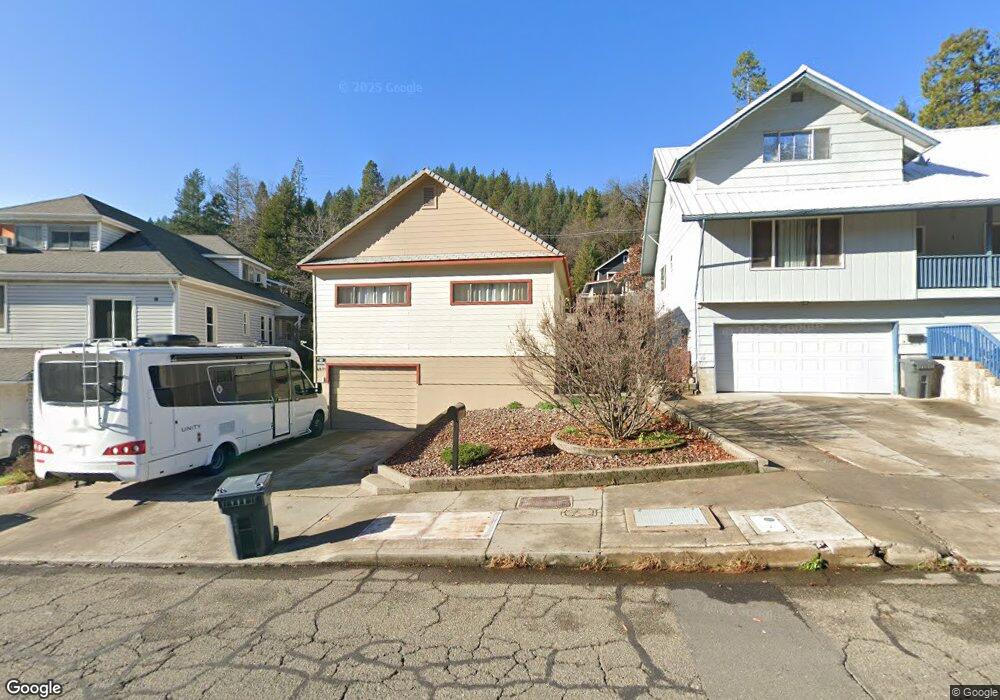
6011 Dunsmuir Ave Dunsmuir, CA 96025
Estimated Value: $346,108 - $385,000
3
Beds
2
Baths
1,456
Sq Ft
$251/Sq Ft
Est. Value
About This Home
This home is located at 6011 Dunsmuir Ave, Dunsmuir, CA 96025 and is currently estimated at $365,527, approximately $251 per square foot. 6011 Dunsmuir Ave is a home located in Siskiyou County with nearby schools including Dunsmuir High School and SCHOOL OF LIVING AWARENESS.
Ownership History
Date
Name
Owned For
Owner Type
Purchase Details
Closed on
Oct 21, 2009
Sold by
Charles Nikki Lynne and Edson Trudee Marie
Bought by
Charles Nikki Lynne and Edson Trudee Marie
Current Estimated Value
Purchase Details
Closed on
Apr 11, 2006
Sold by
Edson Thomas J
Bought by
Livin Edson Thomas J and Livin Thomas J Edson Revocable
Create a Home Valuation Report for This Property
The Home Valuation Report is an in-depth analysis detailing your home's value as well as a comparison with similar homes in the area
Home Values in the Area
Average Home Value in this Area
Purchase History
| Date | Buyer | Sale Price | Title Company |
|---|---|---|---|
| Charles Nikki Lynne | -- | None Available | |
| Livin Edson Thomas J | -- | None Available |
Source: Public Records
Tax History Compared to Growth
Tax History
| Year | Tax Paid | Tax Assessment Tax Assessment Total Assessment is a certain percentage of the fair market value that is determined by local assessors to be the total taxable value of land and additions on the property. | Land | Improvement |
|---|---|---|---|---|
| 2025 | $3,464 | $334,280 | $26,530 | $307,750 |
| 2023 | $3,464 | $321,300 | $25,500 | $295,800 |
| 2022 | $1,103 | $98,341 | $17,996 | $80,345 |
| 2021 | $1,084 | $96,414 | $17,644 | $78,770 |
| 2020 | $1,075 | $95,427 | $17,464 | $77,963 |
| 2019 | $1,057 | $93,557 | $17,122 | $76,435 |
| 2018 | $1,038 | $91,724 | $16,787 | $74,937 |
| 2017 | $709 | $59,853 | $12,917 | $46,936 |
| 2016 | $624 | $51,680 | $12,664 | $39,016 |
| 2015 | $616 | $50,904 | $12,474 | $38,430 |
| 2014 | -- | $49,908 | $12,230 | $37,678 |
Source: Public Records
Map
Nearby Homes
- 5956 Shasta Ave
- 6015 Elinore St
- 5969 & 5975 Sacramento Ave
- 4405 Daly St
- 6214 Elinore Way
- 4112 Edyth St
- 5931 Castle Ave
- 4400 Allen St
- 6254 Scherrer Ave
- 6272 Gillis St
- 5826 Shasta Ave
- 5704 Shasta Ave
- 5701 Castle Ave
- 0 S 1st St
- 220 S 3rd St
- 5505 Sacramento Ave
- 5327 Dunsmuir Ave
- Lot 6 Block Upper River Ave
- 00 Upper River Ave
- 941 S 1st St
- 6015 Dunsmuir Ave
- 6009 Dunsmuir Ave
- 6008 Shasta Ave
- 6019 Dunsmuir Ave
- 6020 Shasta Ave
- 6005 Dunsmuir Ave
- 6025 Dunsmuir Ave
- 6011 Shasta Ave
- 6030 Shasta Ave
- 43162022 Branstetter St
- 43164320 Branstetter St
- 6022 Dunsmuir Ave
- 6005 Shasta Ave
- 6015 Shasta Ave
- 6007 Shasta Ave
- 5986 Dunsmuir Ave
- 4317 Branstetter St
- 4311 Surrey St
- 4302 Oak St
- 4119 Branstetter St