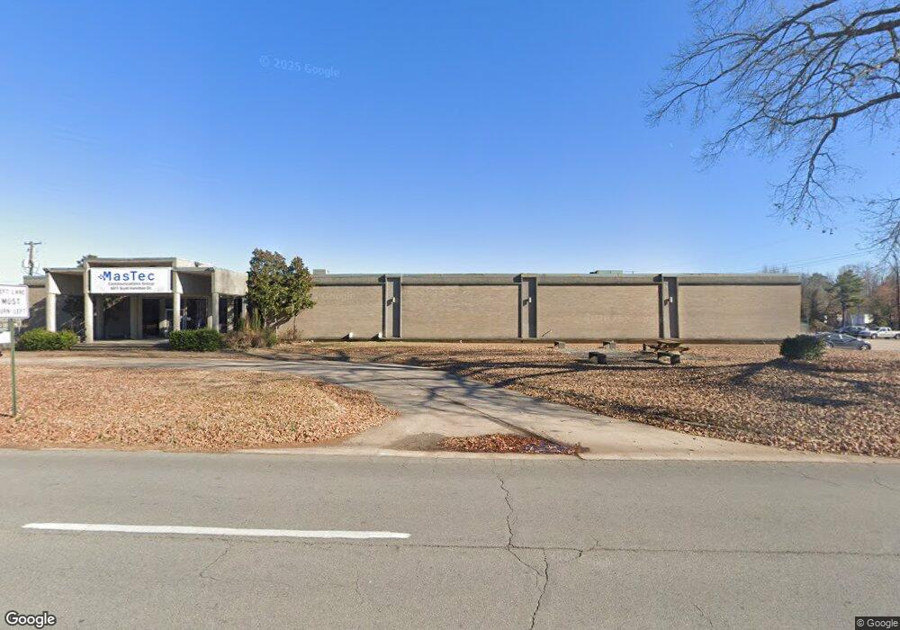
6011 Scott Hamilton Dr Little Rock, AR 72209
Upper Baseline NeighborhoodEstimated Value: $1,510,166
--
Bed
--
Bath
52,298
Sq Ft
$29/Sq Ft
Est. Value
About This Home
This home is located at 6011 Scott Hamilton Dr, Little Rock, AR 72209 and is currently estimated at $1,510,166, approximately $28 per square foot. 6011 Scott Hamilton Dr is a home located in Pulaski County with nearby schools including Wakefield Elementary School, Cloverdale Middle School, and Little Rock Southwest High School.
Ownership History
Date
Name
Owned For
Owner Type
Purchase Details
Closed on
Feb 21, 2014
Sold by
Richards Finance Company Llc
Bought by
Rich Transport Llc
Current Estimated Value
Purchase Details
Closed on
Oct 29, 1998
Sold by
Mckesson Corp
Bought by
Richards Finance Company Llc
Home Financials for this Owner
Home Financials are based on the most recent Mortgage that was taken out on this home.
Original Mortgage
$825,000
Interest Rate
9%
Mortgage Type
Commercial
Create a Home Valuation Report for This Property
The Home Valuation Report is an in-depth analysis detailing your home's value as well as a comparison with similar homes in the area
Home Values in the Area
Average Home Value in this Area
Purchase History
| Date | Buyer | Sale Price | Title Company |
|---|---|---|---|
| Rich Transport Llc | $825,000 | None Available | |
| Richards Finance Company Llc | $158,333 | Lenders Title Company |
Source: Public Records
Mortgage History
| Date | Status | Borrower | Loan Amount |
|---|---|---|---|
| Previous Owner | Richards Finance Company Llc | $825,000 |
Source: Public Records
Tax History Compared to Growth
Tax History
| Year | Tax Paid | Tax Assessment Tax Assessment Total Assessment is a certain percentage of the fair market value that is determined by local assessors to be the total taxable value of land and additions on the property. | Land | Improvement |
|---|---|---|---|---|
| 2025 | $18,728 | $267,540 | $47,820 | $219,720 |
| 2024 | $18,728 | $267,540 | $47,820 | $219,720 |
| 2023 | $18,728 | $267,540 | $47,820 | $219,720 |
| 2022 | $14,676 | $267,540 | $47,820 | $219,720 |
| 2021 | $13,437 | $190,600 | $64,470 | $126,130 |
| 2020 | $13,342 | $190,600 | $64,470 | $126,130 |
| 2019 | $13,342 | $190,600 | $64,470 | $126,130 |
| 2018 | $13,342 | $190,600 | $64,470 | $126,130 |
| 2017 | $13,342 | $190,600 | $64,470 | $126,130 |
| 2016 | $17,342 | $247,740 | $64,470 | $183,270 |
| 2015 | $17,367 | $247,740 | $64,470 | $183,270 |
| 2014 | $17,367 | $224,547 | $64,470 | $160,077 |
Source: Public Records
Map
Nearby Homes
- 11 Eaton Dr
- 31 Allyson Cir
- 6609 W Wakefield Dr
- 19 Harrow Dr
- 4712 Gum Springs Rd
- 29 Rugby Dr
- 4905 Gum Springs Rd Unit 4907 Gum Springs Rd
- 105 Lancaster Rd
- 22 Daven Ct
- 24 Rosemoor Dr
- 13 Daven Ct
- 84 Lancaster Rd
- 51 Hill Ln
- 14 Wellford Dr
- 5419 Western Ln
- 5215 Gum Springs Rd
- 5303 Westminister Dr
- 26 Dellwood Dr
- 40 Wellford Dr
- 5424 W 51st St
- 6320 Scott Hamilton Dr
- 0 Scott Hamilton
- 5+/-Acre Murray St
- 4.65+/-Acre Murray St
- 5 Murray St
- 4.65 acre on Murray St
- 0 Murray St
- 5503 Scott Hamilton Dr
- 6219 Murray St
- 5207 Scott Hamilton Dr
- 6200 Patterson Rd
- 2923 W 65th St
- 4500 W 61st St
- 5600 Patterson Rd
- 4524 Hoffman Rd
- 4603 Hoffman Rd
- 5 Oxford Cir
- 3 Oxford Cir
- 4600 Hoffman Rd
- 60th Stratton Ave Unit Murray Street