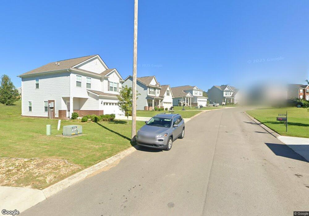
6012 Sentinel Dr Unit 66 Spring Hill, TN 37174
Estimated Value: $436,000 - $457,000
--
Bed
3
Baths
2,165
Sq Ft
$206/Sq Ft
Est. Value
About This Home
This home is located at 6012 Sentinel Dr Unit 66, Spring Hill, TN 37174 and is currently estimated at $445,608, approximately $205 per square foot. 6012 Sentinel Dr Unit 66 is a home located in Maury County with nearby schools including Marvin Wright Elementary School, Spring Hill Middle School, and Spring Hill High School.
Ownership History
Date
Name
Owned For
Owner Type
Purchase Details
Closed on
Nov 20, 2019
Sold by
Csh Property One Llc
Bought by
Sfr Jv 1 Property Llc
Current Estimated Value
Purchase Details
Closed on
Oct 30, 2017
Sold by
Lennar Homes Of Tennessee Llc
Bought by
Csh Property One Llc
Purchase Details
Closed on
Jun 8, 2017
Sold by
2 Gen Holdings Llc
Bought by
Lennar Homes Of Tennessee Llc
Purchase Details
Closed on
Dec 17, 2012
Sold by
Hardin'S Landing Assoc
Bought by
2 Gen Holdings Llc
Create a Home Valuation Report for This Property
The Home Valuation Report is an in-depth analysis detailing your home's value as well as a comparison with similar homes in the area
Home Values in the Area
Average Home Value in this Area
Purchase History
| Date | Buyer | Sale Price | Title Company |
|---|---|---|---|
| Sfr Jv 1 Property Llc | $11,775,750 | Os National Llc | |
| Csh Property One Llc | $280,990 | Foundation Title And Escrow | |
| Lennar Homes Of Tennessee Llc | $432,000 | None Available | |
| 2 Gen Holdings Llc | $1,100,000 | -- |
Source: Public Records
Tax History Compared to Growth
Tax History
| Year | Tax Paid | Tax Assessment Tax Assessment Total Assessment is a certain percentage of the fair market value that is determined by local assessors to be the total taxable value of land and additions on the property. | Land | Improvement |
|---|---|---|---|---|
| 2024 | $3,468 | $90,775 | $12,500 | $78,275 |
| 2023 | $1,342 | $90,775 | $12,500 | $78,275 |
| 2022 | $2,405 | $90,775 | $12,500 | $78,275 |
| 2021 | $2,405 | $65,800 | $7,500 | $58,300 |
| 2020 | $2,104 | $65,800 | $7,500 | $58,300 |
| 2019 | $1,132 | $65,800 | $7,500 | $58,300 |
| 2018 | $395 | $65,800 | $7,500 | $58,300 |
| 2017 | $255 | $7,500 | $7,500 | $0 |
| 2016 | $256 | $7,500 | $7,500 | $0 |
| 2015 | $240 | $7,500 | $7,500 | $0 |
| 2014 | $240 | $7,500 | $7,500 | $0 |
Source: Public Records
Map
Nearby Homes
- 6005 Sentinel Dr
- 6002 Sentinel Dr
- 4004 Rampart Way
- 4008 Rampart Way
- 4010 Rampart Way
- 4012 Rampart Way
- The Monteray III Plan at Hardins Landing
- The Lockwood III Plan at Hardins Landing
- The Sullivan Plan at Hardins Landing
- The Colebrooke Plan at Hardins Landing
- The Madison Plan at Hardins Landing
- 5037 Salient Dr
- 2002 Vanguard Ct
- 1711 Carlyon Ct
- 1613 Harrison Way
- 4022 Rampart Way
- 4112 Cadence Dr
- 2108 Somersby Trail
- 147 Millbrook Dr
- 613 Conifer Dr
- 6012 Sentinel Dr
- 6012 Sentinel Dr Unit 70
- 6014 Sentinel Dr
- 6010 Sentinel Dr Unit 67
- 6010 Sentinel Dr
- 6016 Sentinel Dr
- 6008 Sentinel Dr
- 3037 Commonwealth Dr
- 3037 Commonwealth Dr Unit 81
- 3039 Commonwealth Drive Bru82
- 3039 Commonwealth Drive Bru 82
- 3039 Commonwealth Dr
- 3039 Commonwealth Dr Unit 82
- 3035 Commonwealth Dr Unit 80
- 3035 Commonwealth Dr
- 6011 Sentinel Dr
- 6018 Sentinel Dr Unit 63
- 6018 Sentinel Dr
- 3041 Commonwealth Dr
- 3041 Commonwealth Dr Unit 83