6014 Samuelson St Bakersfield, CA 93313
Panama NeighborhoodEstimated Value: $405,000 - $455,000
3
Beds
2
Baths
1,690
Sq Ft
$251/Sq Ft
Est. Value
About This Home
This home is located at 6014 Samuelson St, Bakersfield, CA 93313 and is currently estimated at $424,801, approximately $251 per square foot. 6014 Samuelson St is a home with nearby schools including Bill L. Williams Elementary School, Stonecreek Junior High School, and Ridgeview High School.
Ownership History
Date
Name
Owned For
Owner Type
Purchase Details
Closed on
Dec 1, 2016
Sold by
Lennar Fresno Inc
Bought by
Marshall Joseph Lamonte
Current Estimated Value
Home Financials for this Owner
Home Financials are based on the most recent Mortgage that was taken out on this home.
Original Mortgage
$230,870
Outstanding Balance
$191,578
Interest Rate
4.62%
Mortgage Type
FHA
Estimated Equity
$233,223
Create a Home Valuation Report for This Property
The Home Valuation Report is an in-depth analysis detailing your home's value as well as a comparison with similar homes in the area
Home Values in the Area
Average Home Value in this Area
Purchase History
| Date | Buyer | Sale Price | Title Company |
|---|---|---|---|
| Marshall Joseph Lamonte | $235,500 | North American Title Company |
Source: Public Records
Mortgage History
| Date | Status | Borrower | Loan Amount |
|---|---|---|---|
| Open | Marshall Joseph Lamonte | $230,870 |
Source: Public Records
Tax History
| Year | Tax Paid | Tax Assessment Tax Assessment Total Assessment is a certain percentage of the fair market value that is determined by local assessors to be the total taxable value of land and additions on the property. | Land | Improvement |
|---|---|---|---|---|
| 2025 | $3,974 | $269,249 | $69,632 | $199,617 |
| 2024 | $3,903 | $263,970 | $68,267 | $195,703 |
| 2023 | $3,903 | $258,795 | $66,929 | $191,866 |
| 2022 | $3,745 | $253,721 | $65,617 | $188,104 |
| 2021 | $3,619 | $248,747 | $64,331 | $184,416 |
| 2020 | $3,565 | $246,198 | $63,672 | $182,526 |
| 2019 | $3,483 | $246,198 | $63,672 | $182,526 |
| 2018 | $3,318 | $236,640 | $61,200 | $175,440 |
| 2017 | $3,409 | $240,550 | $57,550 | $183,000 |
Source: Public Records
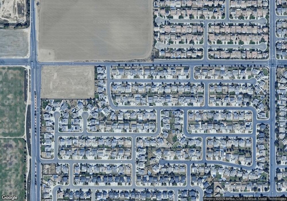
Map
Nearby Homes
- 9000 Farmington Way
- 6040 Samuelson St
- 6009 Moonstone Peak Dr
- 6310 Thorton Ave
- 6225 Thorton Ave
- 6201 Cape Cod Ave
- 5805 Moonstone Peak Dr
- 6405 Thorton Ave
- 5612 Mckee Rd
- 5809 Turquoise Ridge Dr
- 5414 Red Wheat Ave
- 5407 Red Wheat Ave
- 9402 Cobble Mountain Rd
- 9623 Kanosh Cobble Dr
- 6230 Taft Hwy
- 8216 Coral Point Ct
- 6021 Bogart Dr
- 5518 Coburn Ridge Ct
- 5918 Esmerelda Ave
- 5400 Saddleback Ridge Ct
- 6008 Samuelson St
- 6020 Samuelson St
- 6017 Samuelson St
- 6000 Samuelson St
- 6026 Samuelson St
- 6007 Samuelson St
- 6011 Samuelson St
- 6205 Maine Ave
- 6201 Maine Ave
- 6023 Samuelson St
- 6129 Maine Ave
- 5918 Samuelson St
- 6211 Maine Ave
- 6032 Samuelson St
- 6029 Samuelson St
- 6125 Maine Ave
- 6217 Maine Ave
- 6116 Oxford Hills Dr
- 6122 Oxford Hills Dr
- 5914 Samuelson St
Your Personal Tour Guide
Ask me questions while you tour the home.