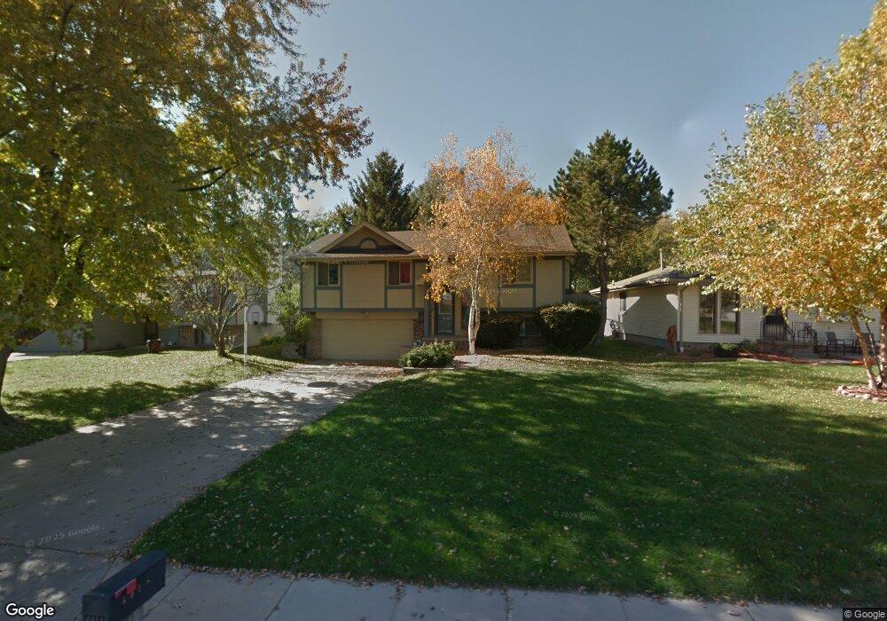
6018 N 105th St Omaha, NE 68134
Wiesman/North Oaks NeighborhoodEstimated Value: $255,404 - $268,000
3
Beds
3
Baths
1,460
Sq Ft
$178/Sq Ft
Est. Value
About This Home
This home is located at 6018 N 105th St, Omaha, NE 68134 and is currently estimated at $259,351, approximately $177 per square foot. 6018 N 105th St is a home located in Douglas County with nearby schools including Prairie Wind Elementary School, Alfonza W. Davis Middle School, and Omaha Christian Academy.
Ownership History
Date
Name
Owned For
Owner Type
Purchase Details
Closed on
Jul 20, 2009
Sold by
Gosda Friedrich L and Gosda Heather M
Bought by
Struck Timothy C and Struck Shonia M
Current Estimated Value
Home Financials for this Owner
Home Financials are based on the most recent Mortgage that was taken out on this home.
Original Mortgage
$119,790
Outstanding Balance
$78,579
Interest Rate
5.41%
Mortgage Type
FHA
Estimated Equity
$180,772
Purchase Details
Closed on
Nov 1, 2006
Sold by
Smith-Hester Marla J
Bought by
Gosda Friedrich L
Create a Home Valuation Report for This Property
The Home Valuation Report is an in-depth analysis detailing your home's value as well as a comparison with similar homes in the area
Home Values in the Area
Average Home Value in this Area
Purchase History
| Date | Buyer | Sale Price | Title Company |
|---|---|---|---|
| Struck Timothy C | $122,000 | Ot | |
| Gosda Friedrich L | $123,500 | -- |
Source: Public Records
Mortgage History
| Date | Status | Borrower | Loan Amount |
|---|---|---|---|
| Open | Struck Timothy C | $119,790 |
Source: Public Records
Tax History Compared to Growth
Tax History
| Year | Tax Paid | Tax Assessment Tax Assessment Total Assessment is a certain percentage of the fair market value that is determined by local assessors to be the total taxable value of land and additions on the property. | Land | Improvement |
|---|---|---|---|---|
| 2025 | $3,483 | $233,800 | $26,100 | $207,700 |
| 2024 | $4,545 | $215,400 | $26,100 | $189,300 |
| 2023 | $4,545 | $215,400 | $26,100 | $189,300 |
| 2022 | $4,150 | $194,400 | $26,100 | $168,300 |
| 2021 | $3,605 | $170,300 | $26,100 | $144,200 |
| 2020 | $2,753 | $128,600 | $27,400 | $101,200 |
| 2019 | $2,761 | $128,600 | $27,400 | $101,200 |
| 2018 | $2,765 | $128,600 | $27,400 | $101,200 |
| 2017 | $2,779 | $128,600 | $27,400 | $101,200 |
| 2016 | $2,843 | $132,500 | $10,900 | $121,600 |
| 2015 | $2,621 | $123,800 | $10,200 | $113,600 |
| 2014 | $2,621 | $123,800 | $10,200 | $113,600 |
Source: Public Records
Map
Nearby Homes
- 5727 N 107th St
- 6304 N 103rd St
- 10390 Vernon Ave
- 5615 N 112th Cir
- 11032 Crown Point Ave
- 5129 N 106th St
- 5123 N 106th St
- 5117 N 106th St
- 6611 N 108th Ave
- 10416 Browne St
- 5011 N 107th St
- 5020 N 106th St
- 11008 Grand Ave
- 6727 N 110th St
- 5721 N 117th Cir
- 10920 Larimore Ave
- 5618 N 116th Avenue Cir
- 7102 N 107th Ct Unit 109
- 9616 Military Rd
- 5112 Parkview Dr
- 6024 N 105th St
- 6012 N 105th St
- 6026 N 105th St
- 6006 N 105th St
- 6030 N 105th St
- 10506 Crown Point Ave
- 6015 N 106th Cir
- 6019 N 105th St
- 6015 N 105th St
- 6007 N 105th St
- 10512 Crown Point Ave
- 6034 N 105th St
- 6011 N 105th St
- 10412 Crown Point Ave
- 6027 N 105th St
- 6019 N 106th Cir
- 6005 N 106th Cir
- 6031 N 105th St
- 10567 Military Rd
- 10408 Crown Point Ave