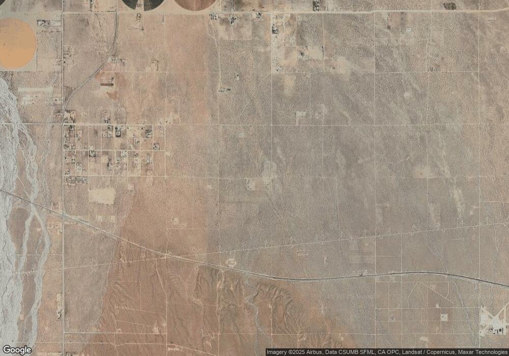
6019 E Avenue t8 Palmdale, CA 93552
East Palmdale NeighborhoodEstimated Value: $363,652 - $505,000
2
Beds
1
Bath
1,229
Sq Ft
$376/Sq Ft
Est. Value
About This Home
This home is located at 6019 E Avenue t8, Palmdale, CA 93552 and is currently estimated at $462,663, approximately $376 per square foot. 6019 E Avenue t8 is a home located in Los Angeles County with nearby schools including Alpine Elementary School, Keppel Academy, and Knight High School.
Ownership History
Date
Name
Owned For
Owner Type
Purchase Details
Closed on
Jun 23, 1995
Sold by
Miller Deborah L
Bought by
Standeven Marjorie A
Current Estimated Value
Home Financials for this Owner
Home Financials are based on the most recent Mortgage that was taken out on this home.
Original Mortgage
$56,000
Interest Rate
7.9%
Purchase Details
Closed on
Jun 21, 1995
Sold by
Standeven Marjorie A
Bought by
Toth Nicholas S
Home Financials for this Owner
Home Financials are based on the most recent Mortgage that was taken out on this home.
Original Mortgage
$56,000
Interest Rate
7.9%
Create a Home Valuation Report for This Property
The Home Valuation Report is an in-depth analysis detailing your home's value as well as a comparison with similar homes in the area
Home Values in the Area
Average Home Value in this Area
Purchase History
| Date | Buyer | Sale Price | Title Company |
|---|---|---|---|
| Standeven Marjorie A | -- | -- | |
| Toth Nicholas S | $70,000 | -- |
Source: Public Records
Mortgage History
| Date | Status | Borrower | Loan Amount |
|---|---|---|---|
| Closed | Toth Nicholas S | $56,000 |
Source: Public Records
Tax History Compared to Growth
Tax History
| Year | Tax Paid | Tax Assessment Tax Assessment Total Assessment is a certain percentage of the fair market value that is determined by local assessors to be the total taxable value of land and additions on the property. | Land | Improvement |
|---|---|---|---|---|
| 2025 | $1,699 | $135,806 | $41,517 | $94,289 |
| 2024 | $1,699 | $133,144 | $40,703 | $92,441 |
| 2023 | $1,664 | $130,534 | $39,905 | $90,629 |
| 2022 | $1,635 | $127,975 | $39,123 | $88,852 |
| 2021 | $1,601 | $125,466 | $38,356 | $87,110 |
| 2019 | $1,552 | $121,746 | $37,219 | $84,527 |
| 2018 | $1,542 | $119,360 | $36,490 | $82,870 |
| 2016 | $1,444 | $114,727 | $35,074 | $79,653 |
| 2015 | $1,424 | $113,005 | $34,548 | $78,457 |
| 2014 | $1,433 | $110,793 | $33,872 | $76,921 |
Source: Public Records
Map
Nearby Homes
- 0 Pearblossom Hwy Vic 62nd E Unit 24003486
- 0 Pearblossom Hwy Unit IV25181913
- 6386 Pearblossom Hwy
- 6008 E Avenue t2
- 6150 E Avenue T Unit 49
- 6150 E Avenue T Unit 56
- 6150 E Avenue T Unit 6
- 6150 E T Ave Unit 67
- 0 Vac Cheseboro Rd Nilgon St Unit 25001593
- 35380 Cheseboro Rd
- 5204 E Avenue t4
- 35834 52nd St E
- Cor Palmda Ross Rd
- 36616 Roosevelt Dr
- 36624 Roosevelt Dr
- 5625 Churchill Ct
- Vl Apn: 3051-020-020
- 35655 52nd St E
- 0 Vic Avenue T12 Vic 52nd Ste Unit 25007973
- 5040 E Avenue t8
- 0 E 61st St On Pearblossom Hwy Unit 1301302
- 36152 Lockhart Ave
- 5849 E Avenue t8
- 0 61st East On Pearblossom Hwy
- 36036 Lockhart Ave
- 5807 E Avenue t8
- 36055 Lockhart Ave
- 5767 E Avenue t8
- 62 Th St
- 36039 Lockhart Ave
- 0 Vac Cor 60th
- 5791 E Avenue t5
- 36020 Lockhart Ave
- 5747 E Avenue t8
- 0 Pearblossom Hwy Unit SR14152572
- 0 Pearblossom Hwy Unit CL24459128
- 0 Pearblossom Hwy Unit CRIV23091507
- 0 Pearblossom Hwy Unit CRIV23034502
- 0 Pearblossom Hwy Unit 24-460003
- 0 Pearblossom Hwy Unit SW24032753
