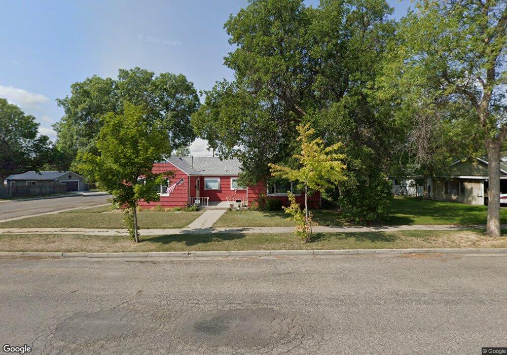
602 6th Ave Laurel, MT 59044
Estimated Value: $301,819 - $336,000
4
Beds
2
Baths
1,960
Sq Ft
$163/Sq Ft
Est. Value
About This Home
This home is located at 602 6th Ave, Laurel, MT 59044 and is currently estimated at $318,910, approximately $162 per square foot. 602 6th Ave is a home located in Yellowstone County with nearby schools including West School, Fred W. Graff School, and Laurel Middle School.
Ownership History
Date
Name
Owned For
Owner Type
Purchase Details
Closed on
Jul 10, 2020
Sold by
Bryan Levi and Bryan Shelby
Bought by
Dempster Jay and Painschab Ethan J
Current Estimated Value
Home Financials for this Owner
Home Financials are based on the most recent Mortgage that was taken out on this home.
Original Mortgage
$178,320
Outstanding Balance
$158,122
Interest Rate
3.1%
Mortgage Type
New Conventional
Estimated Equity
$160,788
Purchase Details
Closed on
Dec 15, 2017
Sold by
Maurer Michelle S
Bought by
Bryan Levi
Home Financials for this Owner
Home Financials are based on the most recent Mortgage that was taken out on this home.
Original Mortgage
$213,490
Interest Rate
3.95%
Mortgage Type
VA
Create a Home Valuation Report for This Property
The Home Valuation Report is an in-depth analysis detailing your home's value as well as a comparison with similar homes in the area
Home Values in the Area
Average Home Value in this Area
Purchase History
| Date | Buyer | Sale Price | Title Company |
|---|---|---|---|
| Dempster Jay | -- | Chicago Title | |
| Bryan Levi | -- | Stewart Title |
Source: Public Records
Mortgage History
| Date | Status | Borrower | Loan Amount |
|---|---|---|---|
| Open | Dempster Jay | $178,320 | |
| Previous Owner | Bryan Levi | $213,490 |
Source: Public Records
Tax History
| Year | Tax Paid | Tax Assessment Tax Assessment Total Assessment is a certain percentage of the fair market value that is determined by local assessors to be the total taxable value of land and additions on the property. | Land | Improvement |
|---|---|---|---|---|
| 2025 | $2,392 | $271,400 | $55,294 | $216,106 |
| 2024 | $2,392 | $238,800 | $47,764 | $191,036 |
| 2023 | $2,210 | $238,800 | $47,764 | $191,036 |
| 2022 | $2,074 | $213,600 | $0 | $0 |
| 2021 | $2,091 | $213,600 | $0 | $0 |
| 2020 | $2,194 | $226,100 | $0 | $0 |
| 2019 | $2,194 | $226,100 | $0 | $0 |
| 2018 | $2,162 | $210,000 | $0 | $0 |
| 2017 | $2,010 | $210,000 | $0 | $0 |
| 2016 | $1,817 | $189,900 | $0 | $0 |
| 2015 | $1,795 | $189,900 | $0 | $0 |
| 2014 | $1,542 | $84,217 | $0 | $0 |
Source: Public Records
Map
Nearby Homes
- 603 5th Ave
- 319 6th Ave
- 320 4th Ave
- 310 (and 814 w 4) 8th Ave
- 102 8th Ave Unit B
- 310 1st Ave
- 1109 10th Ave
- 1013 W 12th St
- 1216 W 12th Street Cir
- 516 Pennsylvania Ave
- 1254 W Beartooth Dr
- 809 Pennsylvania Ave
- 414 Wyoming Ave
- 1014 Rochelle Ln
- 208 West Ave
- 406 Roundhouse Dr
- 211 Woodland Ave
- 1319 Valley Dr
- 801 E 4th St
- 409 Maple Ave
Your Personal Tour Guide
Ask me questions while you tour the home.