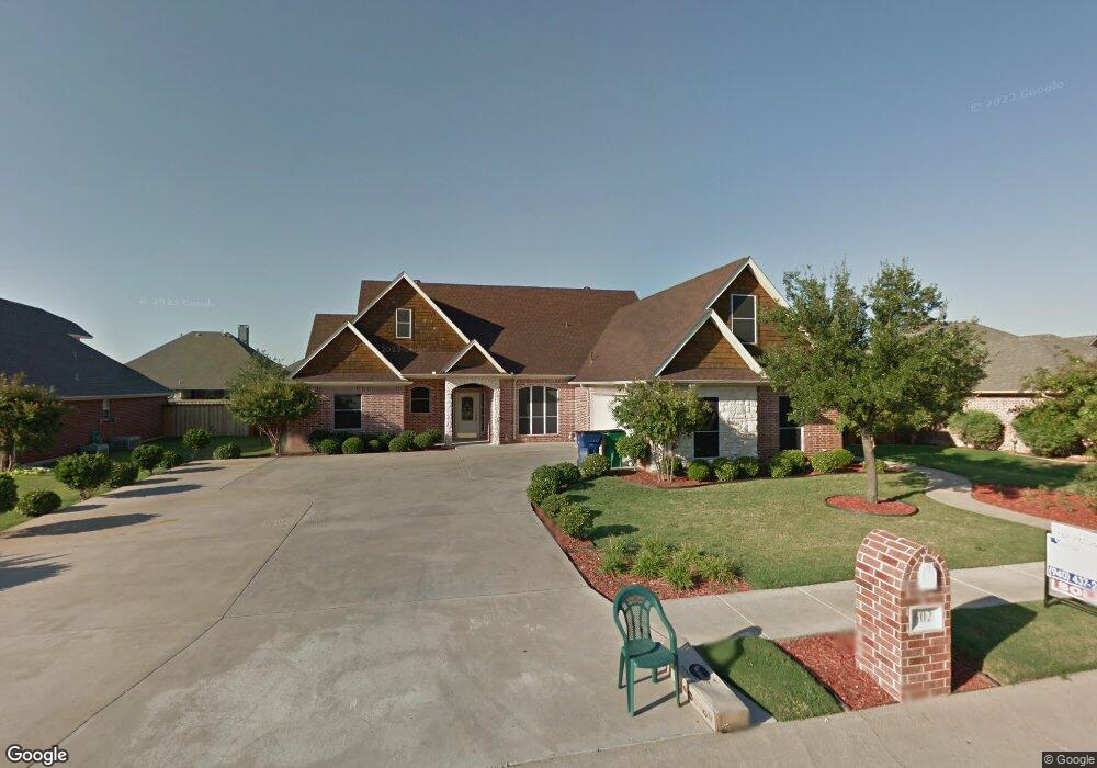
602 Elm St Pilot Point, TX 76258
Estimated Value: $410,000 - $436,778
4
Beds
3
Baths
2,559
Sq Ft
$165/Sq Ft
Est. Value
About This Home
This home is located at 602 Elm St, Pilot Point, TX 76258 and is currently estimated at $423,445, approximately $165 per square foot. 602 Elm St is a home located in Denton County with nearby schools including Pilot Point Early Childhood Center, Pilot Point Elementary School, and Pilot Point Middle School.
Ownership History
Date
Name
Owned For
Owner Type
Purchase Details
Closed on
Sep 24, 2013
Sold by
Robinson Gary Don and Robinson Lori
Bought by
Knost Willaim
Current Estimated Value
Purchase Details
Closed on
Dec 8, 2004
Sold by
Evans Edgar
Bought by
Robinson Gary Don
Home Financials for this Owner
Home Financials are based on the most recent Mortgage that was taken out on this home.
Original Mortgage
$144,800
Interest Rate
5.75%
Mortgage Type
Purchase Money Mortgage
Create a Home Valuation Report for This Property
The Home Valuation Report is an in-depth analysis detailing your home's value as well as a comparison with similar homes in the area
Home Values in the Area
Average Home Value in this Area
Purchase History
| Date | Buyer | Sale Price | Title Company |
|---|---|---|---|
| Knost Willaim | -- | Reunion Title | |
| Robinson Gary Don | -- | -- |
Source: Public Records
Mortgage History
| Date | Status | Borrower | Loan Amount |
|---|---|---|---|
| Previous Owner | Robinson Gary Don | $144,800 | |
| Closed | Robinson Gary Don | $36,200 |
Source: Public Records
Tax History
| Year | Tax Paid | Tax Assessment Tax Assessment Total Assessment is a certain percentage of the fair market value that is determined by local assessors to be the total taxable value of land and additions on the property. | Land | Improvement |
|---|---|---|---|---|
| 2025 | $2,795 | $447,056 | $91,800 | $355,256 |
| 2024 | $8,439 | $468,782 | $0 | $0 |
| 2023 | $2,802 | $426,165 | $91,800 | $411,822 |
| 2022 | $7,966 | $387,423 | $81,000 | $341,651 |
| 2021 | $7,267 | $352,203 | $58,860 | $293,343 |
| 2020 | $7,050 | $339,319 | $58,860 | $280,459 |
| 2019 | $7,747 | $361,636 | $58,860 | $328,552 |
| 2018 | $7,132 | $328,760 | $58,860 | $287,567 |
| 2017 | $6,502 | $298,873 | $46,980 | $268,198 |
| 2016 | $5,911 | $271,703 | $37,800 | $233,903 |
| 2015 | $4,774 | $255,610 | $37,800 | $217,810 |
| 2014 | $4,774 | $247,976 | $37,800 | $210,176 |
| 2013 | -- | $225,900 | $37,800 | $188,100 |
Source: Public Records
Map
Nearby Homes
- 800 E Northside Dr
- 561 Randys Way
- 596 Randys Way
- 710 Primrose Ln
- 729 Amelia Ct
- 709 Primrose Ln
- 723 Primrose Ln
- 0000 N Washington St
- 812 Primrose Ln
- 597 Mb's Way
- 584 Boyd Rd
- 583 Mb Way S
- 721 Orchid Way
- 737 Orchid Way
- 743 Orchid Way
- 749 Orchid Way
- 767 Orchid Way
- 803 Orchid Way
- 775 Orchid Way
- 744 Orchid Way
Your Personal Tour Guide
Ask me questions while you tour the home.