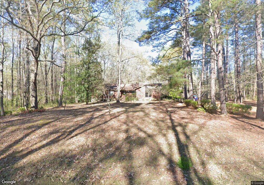
602 Ginger Cir Lagrange, GA 30240
Estimated Value: $223,000 - $274,000
3
Beds
3
Baths
2,419
Sq Ft
$105/Sq Ft
Est. Value
About This Home
This home is located at 602 Ginger Cir, Lagrange, GA 30240 and is currently estimated at $253,222, approximately $104 per square foot. 602 Ginger Cir is a home located in Troup County with nearby schools including Berta Weathersbee Elementary School, Long Cane Elementary School, and Whitesville Road Elementary School.
Ownership History
Date
Name
Owned For
Owner Type
Purchase Details
Closed on
May 31, 2017
Sold by
Loyd Katha E
Bought by
Loyd Samantha K
Current Estimated Value
Home Financials for this Owner
Home Financials are based on the most recent Mortgage that was taken out on this home.
Original Mortgage
$40,000
Interest Rate
4.02%
Mortgage Type
New Conventional
Purchase Details
Closed on
Mar 9, 1977
Sold by
Alfred D Elder
Bought by
Loyd Louise
Purchase Details
Closed on
Mar 7, 1975
Sold by
Hollis
Bought by
Alfred D Elder
Purchase Details
Closed on
Jan 1, 1974
Sold by
John John P and John John
Bought by
Hollis
Purchase Details
Closed on
Jan 1, 1972
Bought by
John John P and John John
Purchase Details
Closed on
Jan 1, 1968
Create a Home Valuation Report for This Property
The Home Valuation Report is an in-depth analysis detailing your home's value as well as a comparison with similar homes in the area
Purchase History
| Date | Buyer | Sale Price | Title Company |
|---|---|---|---|
| Loyd Samantha K | -- | -- | |
| Loyd Louise | $5,000 | -- | |
| Alfred D Elder | -- | -- | |
| Hollis | $2,200 | -- | |
| John John P | -- | -- | |
| -- | -- | -- | |
| -- | -- | -- |
Source: Public Records
Mortgage History
| Date | Status | Borrower | Loan Amount |
|---|---|---|---|
| Closed | Loyd Samantha K | $40,000 |
Source: Public Records
Tax History
| Year | Tax Paid | Tax Assessment Tax Assessment Total Assessment is a certain percentage of the fair market value that is determined by local assessors to be the total taxable value of land and additions on the property. | Land | Improvement |
|---|---|---|---|---|
| 2025 | $1,803 | $103,588 | $10,000 | $93,588 |
| 2024 | $1,384 | $79,816 | $10,000 | $69,816 |
| 2023 | $1,359 | $78,876 | $8,000 | $70,876 |
| 2022 | $1,310 | $75,556 | $8,000 | $67,556 |
| 2021 | $933 | $59,640 | $8,000 | $51,640 |
| 2020 | $1,498 | $59,640 | $8,000 | $51,640 |
| 2019 | $1,151 | $48,144 | $4,200 | $43,944 |
| 2018 | $1,031 | $44,152 | $4,200 | $39,952 |
| 2017 | $1,031 | $44,152 | $4,200 | $39,952 |
| 2016 | $990 | $42,772 | $4,200 | $38,572 |
| 2015 | $991 | $42,772 | $4,200 | $38,572 |
| 2014 | $929 | $40,742 | $4,200 | $36,542 |
| 2013 | -- | $42,942 | $4,200 | $38,742 |
Source: Public Records
Map
Nearby Homes
- 427 Fling Rd
- 402 Ginger Cir
- 8 Horace Carter Rd
- 53 Horace Carter Rd
- 808 S Fling Rd
- 245 Teaver Rd
- 0 Bradfield Dr Unit 10568803
- 2239 Pegasus Pkwy
- 288 Bradfield Dr
- 112 Foxdale Dr
- 0 Glass Bridge Rd Unit 10679358
- 98 Hearn Rd
- 3 Reed Dr
- 210 Pinehaven Dr
- 22 Freeman Rd
- 112 Brookwood Dr
- 117 Brookwood Dr
- 3009 Old West Point Rd
- 0 Unit 10514554
- 640 Hudson Rd
- 600 Ginger Cir
- 503 Connie Dr
- 604 Ginger Cir
- 505 Connie Dr
- 603 Ginger Cir
- 601 Ginger Cir
- 605 Ginger Cir
- 605 Ginger Cir Unit 3
- 507 Connie Dr
- 609 Ginger Cir
- 606 Ginger Cir
- 502 Connie Dr
- 504 Ginger Cir
- 611 Ginger Cir
- 500 Connie Dr
- 608 Ginger Cir
- 507 Ginger Cir
- 124 Center Rd
- 613 Ginger Cir
- 506 Ginger Cir
Your Personal Tour Guide
Ask me questions while you tour the home.