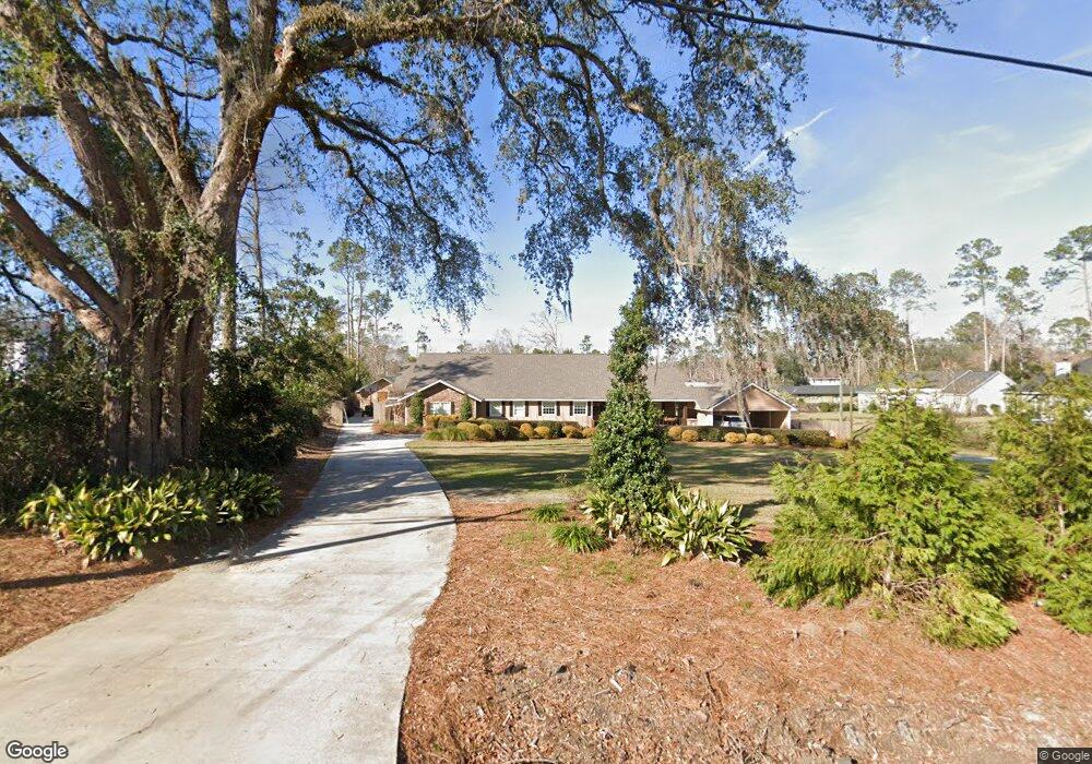
602 Gornto Rd Valdosta, GA 31602
Estimated Value: $595,000 - $687,000
5
Beds
3
Baths
4,631
Sq Ft
$142/Sq Ft
Est. Value
About This Home
This home is located at 602 Gornto Rd, Valdosta, GA 31602 and is currently estimated at $656,150, approximately $141 per square foot. 602 Gornto Rd is a home located in Lowndes County with nearby schools including S.L. Mason Elementary School, Valdosta Middle School, and Valdosta High School.
Ownership History
Date
Name
Owned For
Owner Type
Purchase Details
Closed on
Jun 10, 1997
Bought by
Melton Gina T
Current Estimated Value
Purchase Details
Closed on
Aug 23, 1988
Bought by
Anderson Janet D and Anderson Step
Purchase Details
Closed on
Aug 18, 1988
Bought by
Hamby R David Etal
Purchase Details
Closed on
Jun 30, 1987
Bought by
Hamby R David Etal
Purchase Details
Closed on
Oct 31, 1977
Bought by
Allen Stanley
Purchase Details
Closed on
Feb 19, 1976
Bought by
Phillips Thomas R
Purchase Details
Closed on
Nov 29, 1963
Bought by
Watson Edmund B
Create a Home Valuation Report for This Property
The Home Valuation Report is an in-depth analysis detailing your home's value as well as a comparison with similar homes in the area
Home Values in the Area
Average Home Value in this Area
Purchase History
| Date | Buyer | Sale Price | Title Company |
|---|---|---|---|
| Melton Gina T | $99,000 | -- | |
| Anderson Janet D | $19,000 | -- | |
| Hamby R David Etal | -- | -- | |
| Hamby R David Etal | $62,000 | -- | |
| Allen Stanley | $44,300 | -- | |
| Allen Stanley | -- | -- | |
| Phillips Thomas R | $33,000 | -- | |
| Watson Edmund B | -- | -- |
Source: Public Records
Tax History Compared to Growth
Tax History
| Year | Tax Paid | Tax Assessment Tax Assessment Total Assessment is a certain percentage of the fair market value that is determined by local assessors to be the total taxable value of land and additions on the property. | Land | Improvement |
|---|---|---|---|---|
| 2024 | $7,628 | $279,123 | $10,000 | $269,123 |
| 2023 | $7,628 | $234,676 | $10,000 | $224,676 |
| 2022 | $5,111 | $157,232 | $10,000 | $147,232 |
| 2021 | $5,268 | $157,520 | $10,000 | $147,520 |
| 2020 | $5,392 | $157,809 | $10,000 | $147,809 |
| 2019 | $5,112 | $150,018 | $10,000 | $140,018 |
| 2018 | $5,181 | $150,066 | $10,000 | $140,066 |
| 2017 | $2,846 | $84,604 | $10,000 | $74,604 |
| 2016 | $2,842 | $84,604 | $10,000 | $74,604 |
| 2015 | $2,609 | $84,604 | $10,000 | $74,604 |
| 2014 | $2,653 | $84,604 | $10,000 | $74,604 |
Source: Public Records
Map
Nearby Homes
- 333 Canna Dr
- 2112 Azalea Dr
- 604 Azalea Cir
- 315 Canna Dr
- 2208 N Oak St
- 309 W Park Ave
- 2503 N Oak St
- 805 Millpond Rd
- 209 W Park Ave
- 1909 Azalea Dr
- 1 Fox Hollow Cir
- 68 Pineridge Dr
- 2325 White Oak Dr
- 410 Georgetown Cir
- 422 Georgetown Cir
- 903 Gornto Rd
- 2206 White Oak Dr
- 908 Maplewood Dr
- 2908 Fawnwood Cir
- 2826 Bud McKey Cir