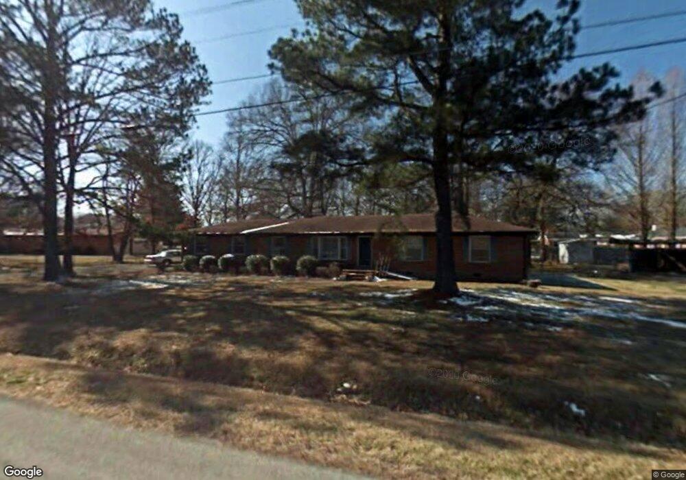
602 Lowry St Manchester, TN 37355
Estimated Value: $198,902 - $268,000
--
Bed
2
Baths
1,500
Sq Ft
$151/Sq Ft
Est. Value
About This Home
This home is located at 602 Lowry St, Manchester, TN 37355 and is currently estimated at $226,476, approximately $150 per square foot. 602 Lowry St is a home located in Coffee County with nearby schools including Westwood Middle School and Temple Baptist Christian School.
Ownership History
Date
Name
Owned For
Owner Type
Purchase Details
Closed on
Jan 26, 2020
Sold by
Simmons Glenda Sue
Bought by
Harden James William and Nharden Cheri Lyn
Current Estimated Value
Home Financials for this Owner
Home Financials are based on the most recent Mortgage that was taken out on this home.
Original Mortgage
$90,000
Outstanding Balance
$79,900
Interest Rate
3.74%
Mortgage Type
Seller Take Back
Estimated Equity
$146,576
Create a Home Valuation Report for This Property
The Home Valuation Report is an in-depth analysis detailing your home's value as well as a comparison with similar homes in the area
Home Values in the Area
Average Home Value in this Area
Purchase History
| Date | Buyer | Sale Price | Title Company |
|---|---|---|---|
| Harden James William | $95,000 | None Available |
Source: Public Records
Mortgage History
| Date | Status | Borrower | Loan Amount |
|---|---|---|---|
| Open | Harden James William | $90,000 |
Source: Public Records
Tax History Compared to Growth
Tax History
| Year | Tax Paid | Tax Assessment Tax Assessment Total Assessment is a certain percentage of the fair market value that is determined by local assessors to be the total taxable value of land and additions on the property. | Land | Improvement |
|---|---|---|---|---|
| 2024 | $994 | $23,600 | $3,000 | $20,600 |
| 2023 | $994 | $23,600 | $0 | $0 |
| 2022 | $856 | $23,600 | $3,000 | $20,600 |
| 2021 | $854 | $18,650 | $2,500 | $16,150 |
| 2020 | $854 | $18,650 | $2,500 | $16,150 |
| 2019 | $854 | $18,650 | $2,500 | $16,150 |
| 2018 | $854 | $18,650 | $2,500 | $16,150 |
| 2017 | $892 | $17,000 | $2,500 | $14,500 |
| 2016 | $892 | $17,000 | $2,500 | $14,500 |
| 2015 | $892 | $17,000 | $2,500 | $14,500 |
| 2014 | $891 | $16,988 | $0 | $0 |
Source: Public Records
Map
Nearby Homes
- 1005 Thoma St
- 1005 Keylon St
- 902 Mcarthur St
- 820 Keylon St
- 711 Lowry St
- 802 Lowry St
- 1203 Woodland Dr
- 970 Oak Dr
- 709 Mill St
- 1014 Hills Chapel Rd
- 503 Oak Dr
- 605 Johnson St
- 602 Johnson St
- 1011 S Spring St
- 1221 Hillcrest Dr
- 434 S Ramsey St
- 515 Mckellar Dr
- 1212 Woodcrest Dr
- 200 Reynard St
- 333 Blanford Cir
- 809 Parks St
- 1201 Jackson St
- 603 Lowry St
- 605 Lowry St
- 607 Lowry St
- 801 Parks St
- 514 Lowry St
- 517 Lowry St
- 1078 Richland Farms Dr
- 1177 Richland Farms Dr
- 1202 Richland Farms Dr
- 1137 Richland Farms Dr
- 1172 Richland Farms Dr
- 1106 Richland Farms Dr
- 515 Lowry St
- 609 Lowry St
- 1202 Jackson St
- 900 Parks St
- 0 Lowry St
- 804 Parks St