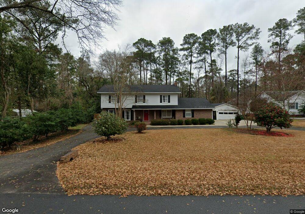
602 Mack Dr Valdosta, GA 31602
Estimated Value: $290,621 - $361,000
--
Bed
2
Baths
2,992
Sq Ft
$105/Sq Ft
Est. Value
About This Home
This home is located at 602 Mack Dr, Valdosta, GA 31602 and is currently estimated at $314,155, approximately $104 per square foot. 602 Mack Dr is a home located in Lowndes County with nearby schools including S.L. Mason Elementary School, Valdosta Middle School, and Valdosta High School.
Ownership History
Date
Name
Owned For
Owner Type
Purchase Details
Closed on
Jun 28, 1999
Bought by
Fretti John J and Fretti Robin P
Current Estimated Value
Purchase Details
Closed on
Sep 16, 1996
Bought by
Aldrich Donald R
Purchase Details
Closed on
Jun 18, 1976
Bought by
Aldrich Lois M
Purchase Details
Closed on
Dec 11, 1972
Bought by
Mcintyre Donald Y Etal
Purchase Details
Closed on
Mar 10, 1972
Bought by
Anamac Inc
Create a Home Valuation Report for This Property
The Home Valuation Report is an in-depth analysis detailing your home's value as well as a comparison with similar homes in the area
Home Values in the Area
Average Home Value in this Area
Purchase History
| Date | Buyer | Sale Price | Title Company |
|---|---|---|---|
| Fretti John J | $132,500 | -- | |
| Aldrich Donald R | -- | -- | |
| Aldrich Lois M | $25,500 | -- | |
| Mcintyre Donald Y Etal | $10,300 | -- | |
| Anamac Inc | $37,500 | -- |
Source: Public Records
Tax History Compared to Growth
Tax History
| Year | Tax Paid | Tax Assessment Tax Assessment Total Assessment is a certain percentage of the fair market value that is determined by local assessors to be the total taxable value of land and additions on the property. | Land | Improvement |
|---|---|---|---|---|
| 2024 | $2,562 | $97,734 | $12,840 | $84,894 |
| 2023 | $2,562 | $97,734 | $12,840 | $84,894 |
| 2022 | $2,274 | $73,298 | $12,840 | $60,458 |
| 2021 | $2,401 | $75,058 | $12,840 | $62,218 |
| 2020 | $2,453 | $75,058 | $12,840 | $62,218 |
| 2019 | $2,451 | $75,058 | $12,840 | $62,218 |
| 2018 | $2,347 | $71,270 | $12,840 | $58,430 |
| 2017 | $2,363 | $71,270 | $12,840 | $58,430 |
| 2016 | $2,360 | $71,270 | $12,840 | $58,430 |
| 2015 | $2,166 | $71,270 | $12,840 | $58,430 |
| 2014 | $2,203 | $71,270 | $12,840 | $58,430 |
Source: Public Records
Map
Nearby Homes
- 333 Canna Dr
- 315 Canna Dr
- 2503 N Oak St
- 2208 N Oak St
- 805 Millpond Rd
- 2112 Azalea Dr
- 604 Azalea Cir
- 309 W Park Ave
- 410 Georgetown Cir
- 422 Georgetown Cir
- 1 Fox Hollow Cir
- 209 W Park Ave
- 2325 White Oak Dr
- 68 Pineridge Dr
- 2908 Fawnwood Cir
- 2826 Bud McKey Cir
- 1909 Azalea Dr
- 903 Gornto Rd
- 312 Eager Rd
- 2800 Walmar Place