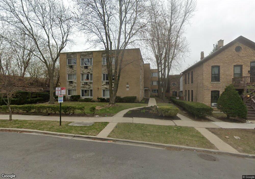
602 Mulford St Unit 1B Evanston, IL 60202
Southeast Evanston NeighborhoodEstimated Value: $167,000 - $191,000
2
Beds
--
Bath
900
Sq Ft
$203/Sq Ft
Est. Value
About This Home
This home is located at 602 Mulford St Unit 1B, Evanston, IL 60202 and is currently estimated at $182,453, approximately $202 per square foot. 602 Mulford St Unit 1B is a home located in Cook County with nearby schools including Lincoln Elementary School, Washington Elementary School, and Nichols Middle School.
Ownership History
Date
Name
Owned For
Owner Type
Purchase Details
Closed on
Jun 22, 2010
Sold by
Reba Place Development Corporation
Bought by
Simms Loretta L and Simms Raymond
Current Estimated Value
Home Financials for this Owner
Home Financials are based on the most recent Mortgage that was taken out on this home.
Original Mortgage
$90,000
Outstanding Balance
$60,318
Interest Rate
4.97%
Mortgage Type
New Conventional
Estimated Equity
$122,135
Create a Home Valuation Report for This Property
The Home Valuation Report is an in-depth analysis detailing your home's value as well as a comparison with similar homes in the area
Home Values in the Area
Average Home Value in this Area
Purchase History
| Date | Buyer | Sale Price | Title Company |
|---|---|---|---|
| Simms Loretta L | -- | Ctic |
Source: Public Records
Mortgage History
| Date | Status | Borrower | Loan Amount |
|---|---|---|---|
| Open | Simms Loretta L | $90,000 |
Source: Public Records
Tax History Compared to Growth
Tax History
| Year | Tax Paid | Tax Assessment Tax Assessment Total Assessment is a certain percentage of the fair market value that is determined by local assessors to be the total taxable value of land and additions on the property. | Land | Improvement |
|---|---|---|---|---|
| 2024 | $1,538 | $12,239 | $1,658 | $10,581 |
| 2023 | $1,431 | $12,239 | $1,658 | $10,581 |
| 2022 | $1,431 | $12,239 | $1,658 | $10,581 |
| 2021 | $307 | $7,135 | $880 | $6,255 |
| 2020 | $411 | $7,135 | $880 | $6,255 |
| 2019 | $424 | $7,961 | $880 | $7,081 |
| 2018 | $1,384 | $8,422 | $725 | $7,697 |
| 2017 | $1,364 | $8,422 | $725 | $7,697 |
| 2016 | $1,519 | $8,422 | $725 | $7,697 |
| 2015 | $1,663 | $8,738 | $1,088 | $7,650 |
| 2014 | $1,662 | $8,738 | $1,088 | $7,650 |
| 2013 | $2,558 | $9,720 | $1,088 | $8,632 |
Source: Public Records
Map
Nearby Homes
- 612 Mulford St Unit 203
- 617 Case Place Unit 2
- 201 Custer Ave Unit G
- 705 Case St
- 428 Callan Ave
- 7730 N Paulina St Unit 1
- 817 Brummel St Unit 1S
- 7513 N Winchester Ave Unit 1
- 1628 W Juneway Terrace Unit 2W
- 1628 W Juneway Terrace Unit 1
- 7511 N Damen Ave Unit D2
- 7523 N Seeley Ave Unit 1
- 606B South Blvd
- 820 Oakton St Unit 3A
- 7433 N Damen Ave
- 7708 N Ashland Ave
- 200 Ridge Ave Unit 2C
- 828 Oakton St Unit 3F
- 608 Hinman Ave Unit 4S
- 340 Ridge Ave Unit 1
- 602 Mulford St Unit 3C
- 602 Mulford St Unit 2B
- 602 Mulford St Unit 1A
- 602 Mulford St Unit 1C
- 602 Mulford St Unit 3B
- 602 Mulford St Unit 3A
- 602 Mulford St Unit 2A
- 602 Mulford St Unit 3D
- 602 Mulford St Unit 2D
- 602 Mulford St Unit 1D
- 602 Mulford St Unit 2C
- 602 Mulford St Unit C-3
- 602 Mulford St Unit B-2
- 602 Mulford St Unit A-1
- 602 Mulford St Unit D-2
- 602 Mulford St Unit B-1
- 606 Mulford St
- 610 Mulford St
- 612 Mulford St Unit G2
- 612 Mulford St Unit G4