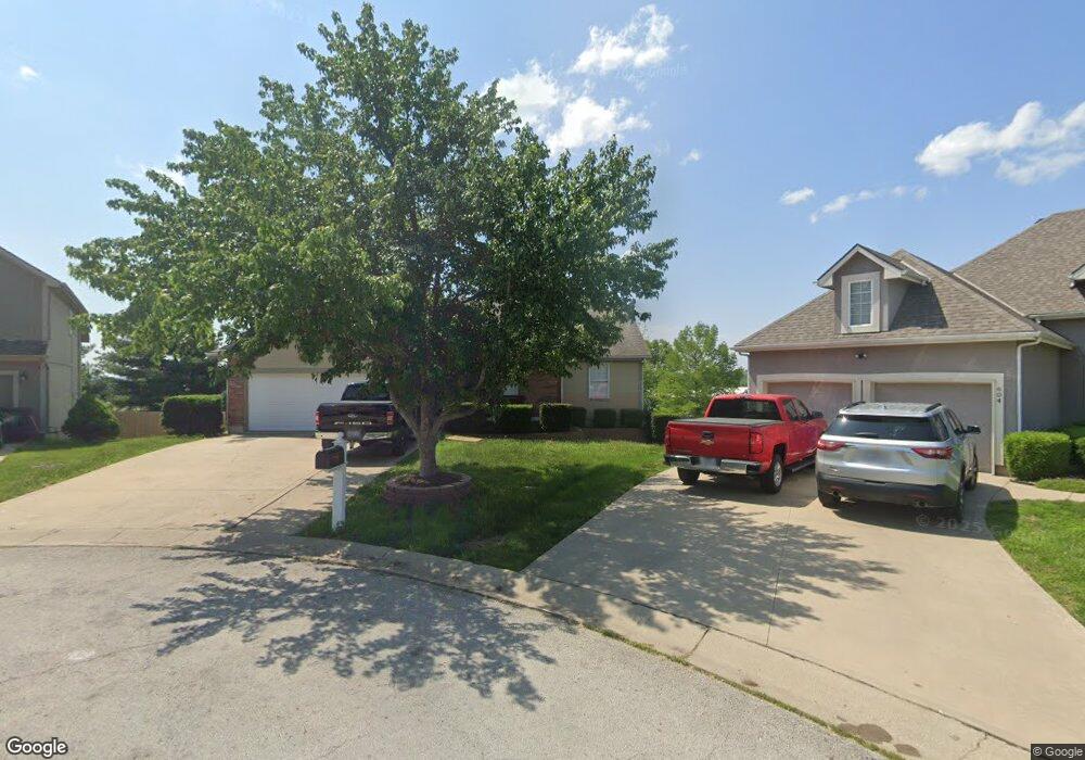
602 NW Silverstone Cir Grain Valley, MO 64029
Estimated Value: $307,000 - $343,000
3
Beds
2
Baths
1,523
Sq Ft
$212/Sq Ft
Est. Value
About This Home
This home is located at 602 NW Silverstone Cir, Grain Valley, MO 64029 and is currently estimated at $322,883, approximately $212 per square foot. 602 NW Silverstone Cir is a home located in Jackson County with nearby schools including Grain Valley High School.
Ownership History
Date
Name
Owned For
Owner Type
Purchase Details
Closed on
Dec 12, 2002
Sold by
L C Lester Construction Co
Bought by
Canon Richard D and Canon Laura R
Current Estimated Value
Home Financials for this Owner
Home Financials are based on the most recent Mortgage that was taken out on this home.
Original Mortgage
$151,050
Outstanding Balance
$63,247
Interest Rate
5.89%
Mortgage Type
Purchase Money Mortgage
Estimated Equity
$259,636
Create a Home Valuation Report for This Property
The Home Valuation Report is an in-depth analysis detailing your home's value as well as a comparison with similar homes in the area
Home Values in the Area
Average Home Value in this Area
Purchase History
| Date | Buyer | Sale Price | Title Company |
|---|---|---|---|
| Canon Richard D | -- | First American Title Ins Co |
Source: Public Records
Mortgage History
| Date | Status | Borrower | Loan Amount |
|---|---|---|---|
| Open | Canon Richard D | $151,050 |
Source: Public Records
Tax History Compared to Growth
Tax History
| Year | Tax Paid | Tax Assessment Tax Assessment Total Assessment is a certain percentage of the fair market value that is determined by local assessors to be the total taxable value of land and additions on the property. | Land | Improvement |
|---|---|---|---|---|
| 2025 | $4,168 | $48,746 | $8,202 | $40,544 |
| 2024 | $4,012 | $50,603 | $8,808 | $41,795 |
| 2023 | $4,012 | $50,603 | $7,530 | $43,073 |
| 2022 | $3,341 | $36,860 | $9,700 | $27,160 |
| 2021 | $3,263 | $36,860 | $9,700 | $27,160 |
| 2020 | $3,309 | $36,873 | $9,700 | $27,173 |
| 2019 | $3,242 | $36,873 | $9,700 | $27,173 |
| 2018 | $3,013 | $32,024 | $4,910 | $27,114 |
| 2017 | $3,013 | $32,024 | $4,910 | $27,114 |
| 2016 | $2,886 | $30,685 | $5,719 | $24,966 |
| 2014 | $2,640 | $27,861 | $5,715 | $22,146 |
Source: Public Records
Map
Nearby Homes
- 1007 NW Long Dr
- 605 NW Silverstone Cir
- 704 NW Eagle Dr
- 1206 NW Baytree Dr
- 1211 NW Scenic Dr
- 1235 NW Ashley Ln
- 1208 NW Golfview Dr
- 518 South St
- 408 Front St
- 512 Broadway St
- 207 Pebblebrook St
- 209 SW Cross Creek Dr
- 708 Pavillion Dr
- 618 NW Thieme St
- 2601 NE Wheatley Dr
- 2 Ooida Dr
- 2700 NE Crestview St
- 2701 NE Crestview St
- 2513 NE Wheatley Dr
- 2512 NE Wheatley Dr
- 601 NW Silverstone Cir
- 604 NW Silverstone Ct
- 604 NW Silverstone Ct
- 601 NW Silverstone Ct
- 603 NW Silverstone Cir
- 606 NW Silverstone Ct
- 606 NW Silverstone Ct
- 1005 NW Long Dr
- 503 NW Magnolia Cir
- 501 NW Magnolia Cir
- 606 NW Albatross Cir
- 1006 NW Long Dr
- 959 NW Long Dr
- 505 NW Magnolia Cir
- 604 NW Albatross Cir
- 1008 NW Long Dr
- 604 NW Albatross Ct
- 500 NW Magnolia Cir
- 602 NW Meadow Rd
- 1002 NW Long Dr