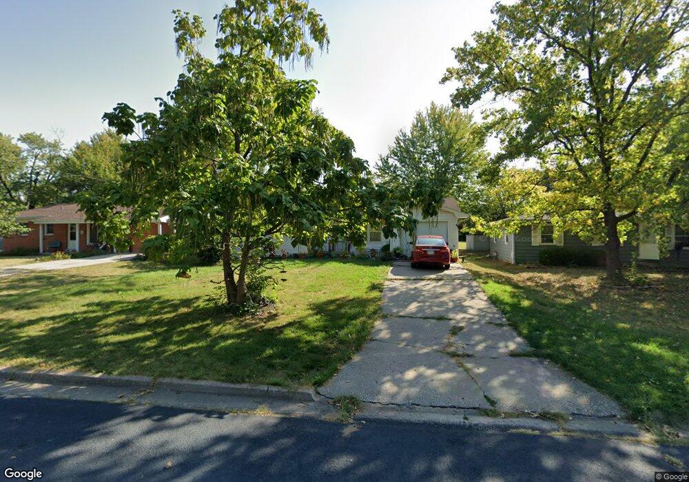
602 Pennant St Columbia, MO 65203
Estimated Value: $181,325 - $205,000
3
Beds
1
Bath
1,056
Sq Ft
$183/Sq Ft
Est. Value
About This Home
This home is located at 602 Pennant St, Columbia, MO 65203 and is currently estimated at $193,775, approximately $183 per square foot. 602 Pennant St is a home located in Boone County with nearby schools including West Boulevard Elementary School, West Middle School, and David H. Hickman High School.
Ownership History
Date
Name
Owned For
Owner Type
Purchase Details
Closed on
Oct 31, 2024
Sold by
Lucile S Jacobs Revocable Trust and Jacobs Delton L
Bought by
Jacobs Amanda L and Mccune Matthew A
Current Estimated Value
Home Financials for this Owner
Home Financials are based on the most recent Mortgage that was taken out on this home.
Original Mortgage
$500,000
Outstanding Balance
$495,022
Interest Rate
6.12%
Mortgage Type
New Conventional
Estimated Equity
-$301,247
Create a Home Valuation Report for This Property
The Home Valuation Report is an in-depth analysis detailing your home's value as well as a comparison with similar homes in the area
Purchase History
| Date | Buyer | Sale Price | Title Company |
|---|---|---|---|
| Jacobs Amanda L | -- | None Listed On Document | |
| Jacobs Amanda L | -- | None Listed On Document |
Source: Public Records
Mortgage History
| Date | Status | Borrower | Loan Amount |
|---|---|---|---|
| Open | Jacobs Amanda L | $500,000 | |
| Closed | Jacobs Amanda L | $500,000 |
Source: Public Records
Tax History
| Year | Tax Paid | Tax Assessment Tax Assessment Total Assessment is a certain percentage of the fair market value that is determined by local assessors to be the total taxable value of land and additions on the property. | Land | Improvement |
|---|---|---|---|---|
| 2025 | $1,087 | $16,606 | $1,995 | $14,611 |
| 2024 | $978 | $14,497 | $1,995 | $12,502 |
| 2023 | $970 | $14,497 | $1,995 | $12,502 |
| 2022 | $865 | $12,939 | $1,995 | $10,944 |
| 2021 | $866 | $12,939 | $1,995 | $10,944 |
| 2020 | $823 | $11,552 | $1,995 | $9,557 |
| 2019 | $823 | $11,552 | $1,995 | $9,557 |
| 2018 | $768 | $0 | $0 | $0 |
| 2017 | $778 | $10,697 | $1,995 | $8,702 |
| 2016 | $778 | $10,697 | $1,995 | $8,702 |
| 2015 | $718 | $10,697 | $1,995 | $8,702 |
| 2014 | -- | $10,697 | $1,995 | $8,702 |
Source: Public Records
Map
Nearby Homes
- 1210 Squirewood Way
- 1303 London Dr
- 602 Clinkscales Rd
- 807 Clinkscales Rd
- 1301 W Ash St
- 708 Donnelly Ave
- 713 Ridgeway Ave
- 4 Russell Blvd
- 105 Westridge Dr
- 506 W Worley St
- 1602 Doris Dr
- 405 Alexander Ave
- 210 W Briarwood Ln
- 1108 W Stewart Rd
- 1703 Oakwood Ct
- 304 Fredora Ave
- 501 Westridge Dr
- 1942 Jackson St
- 211 Bourn Ave
- 414 E Rockcreek Dr
Your Personal Tour Guide
Ask me questions while you tour the home.