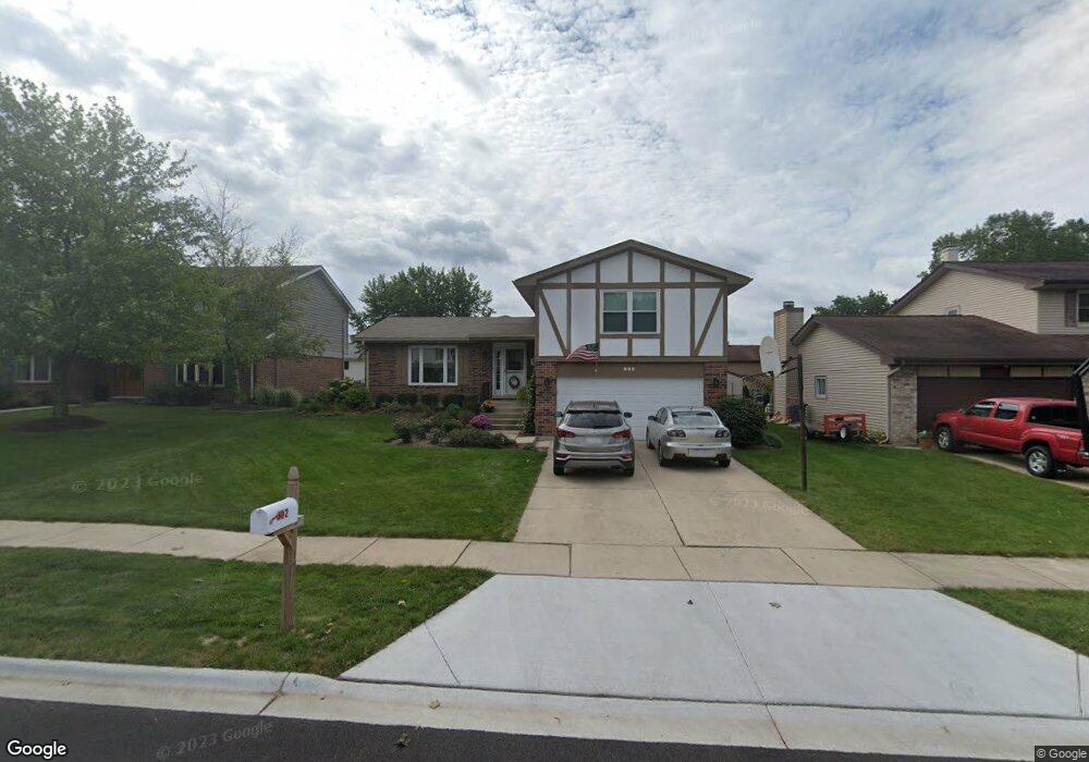
602 Queenswood Ln Wheaton, IL 60189
Southeast Wheaton NeighborhoodEstimated Value: $524,739 - $613,000
--
Bed
1
Bath
1,654
Sq Ft
$343/Sq Ft
Est. Value
About This Home
This home is located at 602 Queenswood Ln, Wheaton, IL 60189 and is currently estimated at $567,435, approximately $343 per square foot. 602 Queenswood Ln is a home located in DuPage County with nearby schools including Lincoln Elementary School, Edison Middle School, and Wheaton Warrenville South High School.
Ownership History
Date
Name
Owned For
Owner Type
Purchase Details
Closed on
Jul 8, 2021
Sold by
Carey James R and Carey Elizabeth L
Bought by
Hoffmann Christy L and Metoyer Christopher A
Current Estimated Value
Home Financials for this Owner
Home Financials are based on the most recent Mortgage that was taken out on this home.
Original Mortgage
$334,000
Outstanding Balance
$302,960
Interest Rate
2.88%
Mortgage Type
New Conventional
Estimated Equity
$264,475
Purchase Details
Closed on
Aug 6, 1996
Sold by
Cross Scott J and Cross Margaret M
Bought by
Carey James R and Carey Elizabeth L
Home Financials for this Owner
Home Financials are based on the most recent Mortgage that was taken out on this home.
Original Mortgage
$196,150
Interest Rate
8.33%
Create a Home Valuation Report for This Property
The Home Valuation Report is an in-depth analysis detailing your home's value as well as a comparison with similar homes in the area
Home Values in the Area
Average Home Value in this Area
Purchase History
| Date | Buyer | Sale Price | Title Company |
|---|---|---|---|
| Hoffmann Christy L | $419,000 | None Listed On Document | |
| Carey James R | $206,500 | Mid America Title Company |
Source: Public Records
Mortgage History
| Date | Status | Borrower | Loan Amount |
|---|---|---|---|
| Open | Hoffmann Christy L | $334,000 | |
| Previous Owner | Carey James R | $196,150 |
Source: Public Records
Tax History Compared to Growth
Tax History
| Year | Tax Paid | Tax Assessment Tax Assessment Total Assessment is a certain percentage of the fair market value that is determined by local assessors to be the total taxable value of land and additions on the property. | Land | Improvement |
|---|---|---|---|---|
| 2024 | $9,476 | $155,030 | $35,493 | $119,537 |
| 2023 | $9,103 | $142,700 | $32,670 | $110,030 |
| 2022 | $8,924 | $134,860 | $30,870 | $103,990 |
| 2021 | $8,894 | $131,660 | $30,140 | $101,520 |
| 2020 | $8,865 | $130,430 | $29,860 | $100,570 |
| 2019 | $8,662 | $126,990 | $29,070 | $97,920 |
| 2018 | $8,493 | $123,260 | $27,400 | $95,860 |
| 2017 | $8,365 | $118,710 | $26,390 | $92,320 |
| 2016 | $8,252 | $113,970 | $25,340 | $88,630 |
| 2015 | $8,187 | $108,720 | $24,170 | $84,550 |
| 2014 | $6,500 | $89,200 | $19,110 | $70,090 |
| 2013 | $6,333 | $89,470 | $19,170 | $70,300 |
Source: Public Records
Map
Nearby Homes
- 1547 Huntleigh Dr
- 1049 Liskeard Ct
- 1010 Heathrow Ct
- 1129 Rhodes Ct
- 1212 Underwood Terrace
- 187 E Thompson Dr
- 1694 Farragut Ct Unit A
- 1687 Williamsburg Ct Unit A
- 1268 Edinburgh Ct
- 1244 Loughborough Ct
- 1123 Grant St
- 220 E Elm St
- 1344 S Main St
- 512 Pershing Ave
- 104 E Elm St
- 1581 Groton Ln
- 1602 Hunters Glen Ct
- 909 S Main St
- 1643 Castbourne Ct
- 1813 Knapp Ct
- 588 Queenswood Ln
- 620 Queenswood Ln
- 574 Queenswood Ln
- 640 Queenswood Ln
- 587 Devonshire Ln
- 573 Devonshire Ln
- 601 Devonshire Ln
- 601 Queenswood Ln
- 587 Queenswood Ln
- 617 Queenswood Ln
- 559 Devonshire Ln
- 660 Queenswood Ln
- 617 Devonshire Ln
- 552 Queenswood Ln
- 573 Queenswood Ln
- 633 Queenswood Ln
- 545 Devonshire Ln
- 633 Devonshire Ln
- 559 Queenswood Ln Unit 3
- 680 Queenswood Ln