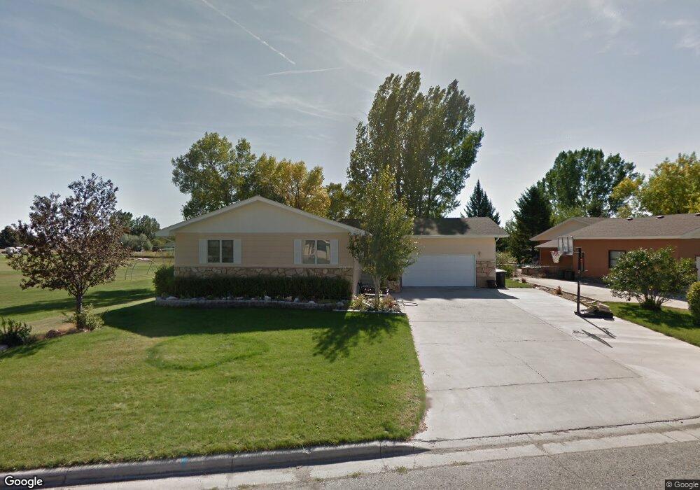
602 W 13th St Laurel, MT 59044
Estimated Value: $436,000 - $463,688
4
Beds
3
Baths
3,048
Sq Ft
$147/Sq Ft
Est. Value
About This Home
This home is located at 602 W 13th St, Laurel, MT 59044 and is currently estimated at $448,672, approximately $147 per square foot. 602 W 13th St is a home located in Yellowstone County with nearby schools including West School, Fred W. Graff School, and Laurel Middle School.
Ownership History
Date
Name
Owned For
Owner Type
Purchase Details
Closed on
Jul 17, 2013
Sold by
Haskell Bart A
Bought by
Marquis Victoria Allyne and Marquis Ross David
Current Estimated Value
Home Financials for this Owner
Home Financials are based on the most recent Mortgage that was taken out on this home.
Original Mortgage
$275,702
Outstanding Balance
$200,476
Interest Rate
3.92%
Mortgage Type
VA
Estimated Equity
$248,196
Purchase Details
Closed on
May 7, 2009
Sold by
Haskell Susan B
Bought by
Haskell Bart A
Purchase Details
Closed on
Nov 29, 2005
Sold by
Hergenrider Richard and Hergenrider Maria
Bought by
Haskel Bart A and Haskell Susan B
Home Financials for this Owner
Home Financials are based on the most recent Mortgage that was taken out on this home.
Original Mortgage
$104,500
Interest Rate
5.97%
Mortgage Type
New Conventional
Create a Home Valuation Report for This Property
The Home Valuation Report is an in-depth analysis detailing your home's value as well as a comparison with similar homes in the area
Home Values in the Area
Average Home Value in this Area
Purchase History
We collect this data history from publicly available records. To have your information removed, we recommend requesting removal directly through your county’s website.
| Date | Buyer | Sale Price | Title Company |
|---|---|---|---|
| Marquis Victoria Allyne | -- | None Available | |
| Haskell Bart A | -- | None Available | |
| Haskel Bart A | -- | None Available |
Source: Public Records
Mortgage History
We collect this data history from publicly available records. To have your information removed, we recommend requesting removal directly through your county’s website.
| Date | Status | Borrower | Loan Amount |
|---|---|---|---|
| Open | Marquis Victoria Allyne | $275,702 | |
| Previous Owner | Haskel Bart A | $104,500 |
Source: Public Records
Tax History
| Year | Tax Paid | Tax Assessment Tax Assessment Total Assessment is a certain percentage of the fair market value that is determined by local assessors to be the total taxable value of land and additions on the property. | Land | Improvement |
|---|---|---|---|---|
| 2025 | $3,856 | $465,300 | $71,464 | $393,836 |
| 2024 | $3,856 | $388,300 | $46,759 | $341,541 |
| 2023 | $3,558 | $388,300 | $46,759 | $341,541 |
| 2022 | $2,975 | $303,700 | $0 | $0 |
| 2021 | $3,000 | $303,700 | $0 | $0 |
| 2020 | $2,960 | $295,100 | $0 | $0 |
| 2019 | $2,952 | $295,100 | $0 | $0 |
| 2018 | $2,902 | $279,800 | $0 | $0 |
| 2017 | $2,689 | $279,800 | $0 | $0 |
| 2016 | $2,592 | $270,600 | $0 | $0 |
| 2015 | $2,561 | $270,600 | $0 | $0 |
| 2014 | $2,314 | $127,094 | $0 | $0 |
Source: Public Records
Map
Nearby Homes
- 1316 Beartooth Dr
- 807 W 12th St
- 1107 11th Ave
- 1034 1st Ave
- 218 W Maryland Ln
- 910 10th Ave
- 119 W 9th St
- 620 W 8th St
- 1003 Montana Ave
- 1735 Lobo Dr
- 810 1st Ave
- 1014 Rochelle Ln
- 406 Roundhouse Dr
- 515 6th Ave
- 320 4th Ave
- 1960 Coyote Ridge Rd N
- 310 (and 814 w 4) 8th Ave
- 209 E 5th St
- 516 Pennsylvania Ave
- 301 2nd Ave
- 610 W 13th St
- 601 W 13th St
- 603 W 13th St
- 618 W 13th St
- 1303 Nez Perce Dr
- 1305 Meadow Cir
- 1229 Briar Cir
- 605 W 13th St
- 1305 Nez Perce Dr
- 1223 Briar Cir
- 626 W 13th St
- 1310 Meadow Cir
- 1304 Nez Perce Dr
- 541 Fairview Ln
- 1318 Meadow Cir
- 1233 Beartooth Dr
- 1241 Beartooth Dr
- 703 W 13th St
- 1325 Nez Perce Dr
- 1320 Nez Perce Dr
Your Personal Tour Guide
Ask me questions while you tour the home.