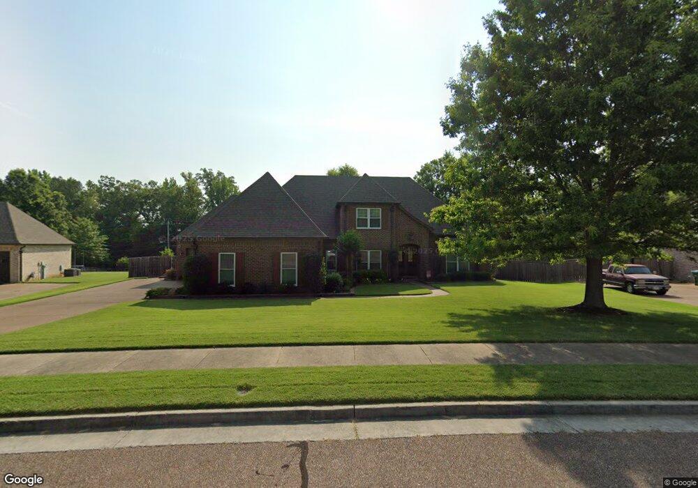
6020 Carters Bluff Dr Arlington, TN 38002
Estimated Value: $448,000 - $578,000
4
Beds
3
Baths
3,632
Sq Ft
$143/Sq Ft
Est. Value
About This Home
This home is located at 6020 Carters Bluff Dr, Arlington, TN 38002 and is currently estimated at $518,282, approximately $142 per square foot. 6020 Carters Bluff Dr is a home located in Shelby County with nearby schools including Arlington Elementary School, Arlington Middle School, and Arlington High School.
Ownership History
Date
Name
Owned For
Owner Type
Purchase Details
Closed on
Feb 15, 2007
Sold by
Affinity Homes Llc
Bought by
Welch Donald J and Welch Alice A
Current Estimated Value
Home Financials for this Owner
Home Financials are based on the most recent Mortgage that was taken out on this home.
Original Mortgage
$185,600
Outstanding Balance
$111,228
Interest Rate
6.17%
Mortgage Type
Unknown
Estimated Equity
$407,054
Create a Home Valuation Report for This Property
The Home Valuation Report is an in-depth analysis detailing your home's value as well as a comparison with similar homes in the area
Home Values in the Area
Average Home Value in this Area
Purchase History
| Date | Buyer | Sale Price | Title Company |
|---|---|---|---|
| Welch Donald J | $316,576 | None Available |
Source: Public Records
Mortgage History
| Date | Status | Borrower | Loan Amount |
|---|---|---|---|
| Open | Welch Donald J | $185,600 |
Source: Public Records
Tax History Compared to Growth
Tax History
| Year | Tax Paid | Tax Assessment Tax Assessment Total Assessment is a certain percentage of the fair market value that is determined by local assessors to be the total taxable value of land and additions on the property. | Land | Improvement |
|---|---|---|---|---|
| 2025 | $3,574 | $123,950 | $24,000 | $99,950 |
| 2024 | $7,148 | $105,425 | $18,150 | $87,275 |
| 2023 | $4,923 | $105,425 | $18,150 | $87,275 |
| 2022 | $4,923 | $105,425 | $18,150 | $87,275 |
| 2021 | $4,987 | $105,425 | $18,150 | $87,275 |
| 2020 | $4,234 | $78,125 | $17,550 | $60,575 |
| 2019 | $3,164 | $78,125 | $17,550 | $60,575 |
| 2018 | $4,063 | $78,125 | $17,550 | $60,575 |
| 2017 | $4,109 | $78,125 | $17,550 | $60,575 |
| 2016 | $3,952 | $71,600 | $0 | $0 |
| 2014 | $3,129 | $71,600 | $0 | $0 |
Source: Public Records
Map
Nearby Homes
- 12260 Afton Place
- 12150 Osborne Grove Dr
- 12262 Kathleen Cove
- 12179 S Shady Tree Ln
- 12133 S Shady Tree Ln
- 5011 Jon Oak Cove
- 5030 Jon Oak Cove
- 5046 Jon Oak Cove
- 5056 Jon Oak Cove
- 11996 Douglass St
- 12035 Brockwell Rd
- 5118 Lawrenceburg Ln E
- 5712 Chester St
- 5796 Milton Wilson Blvd
- 0 Milton Wilson Blvd Unit 10206588
- 0 Milton Wilson Blvd Unit 10186845
- 6284 Bevan Lake Dr
- 12258 Richmark Way Dr
- 5896 Milton Wilson Blvd
- 6302 Bevan Lake Dr
- 6030 Carters Bluff Dr
- 6010 Carters Bluff Dr
- 6013 Carters Bluff Dr
- 6025 Carters Bluff Dr
- 6000 Carters Bluff Dr
- 12185 White Briar Dr
- 12197 White Briar Dr
- 6035 Carters Bluff Dr
- 6001 Carters Bluff Dr
- 6013 Ewing Blvd
- 12220 Dusty Field Rd
- 5990 Carters Bluff Dr
- 6041 Carters Bluff Dr
- 5999 Ewing Blvd
- 6041 Ewing Blvd
- 5994 Cunningham St
- 6010 Cunningham St
- 5989 Carters Bluff Dr
- 5990 Cunningham St
- 12190 White Briar Dr