60206 Pawnee Ln Bend, OR 97702
Deschutes River Woods NeighborhoodEstimated Value: $714,000 - $825,110
4
Beds
3
Baths
2,038
Sq Ft
$375/Sq Ft
Est. Value
About This Home
This home is located at 60206 Pawnee Ln, Bend, OR 97702 and is currently estimated at $763,278, approximately $374 per square foot. 60206 Pawnee Ln is a home located in Deschutes County with nearby schools including Elk Meadow Elementary School, High Desert Middle School, and Morning Star Christian School.
Ownership History
Date
Name
Owned For
Owner Type
Purchase Details
Closed on
Jun 30, 2011
Sold by
Western Capital Partners Llc
Bought by
Butcher John T and Butcher Dana M
Current Estimated Value
Home Financials for this Owner
Home Financials are based on the most recent Mortgage that was taken out on this home.
Original Mortgage
$182,259
Outstanding Balance
$122,921
Interest Rate
4.25%
Mortgage Type
FHA
Estimated Equity
$640,357
Purchase Details
Closed on
Nov 4, 2010
Sold by
Mcgovern Michael A and Mcgovern Sheryl
Bought by
Western Capital Partners Llc
Create a Home Valuation Report for This Property
The Home Valuation Report is an in-depth analysis detailing your home's value as well as a comparison with similar homes in the area
Home Values in the Area
Average Home Value in this Area
Purchase History
| Date | Buyer | Sale Price | Title Company |
|---|---|---|---|
| Butcher John T | $187,000 | Deschutes County Title Co | |
| Western Capital Partners Llc | $139,401 | Accommodation |
Source: Public Records
Mortgage History
| Date | Status | Borrower | Loan Amount |
|---|---|---|---|
| Open | Butcher John T | $182,259 |
Source: Public Records
Tax History Compared to Growth
Tax History
| Year | Tax Paid | Tax Assessment Tax Assessment Total Assessment is a certain percentage of the fair market value that is determined by local assessors to be the total taxable value of land and additions on the property. | Land | Improvement |
|---|---|---|---|---|
| 2025 | $3,603 | $236,090 | -- | -- |
| 2024 | $3,450 | $229,220 | -- | -- |
| 2023 | $3,250 | $222,550 | $0 | $0 |
| 2022 | $3,000 | $209,780 | $0 | $0 |
| 2021 | $3,020 | $203,670 | $0 | $0 |
| 2020 | $2,855 | $203,670 | $0 | $0 |
| 2019 | $2,777 | $197,740 | $0 | $0 |
| 2018 | $2,698 | $191,990 | $0 | $0 |
| 2017 | $2,654 | $188,260 | $0 | $0 |
| 2016 | $2,689 | $195,020 | $0 | $0 |
Source: Public Records
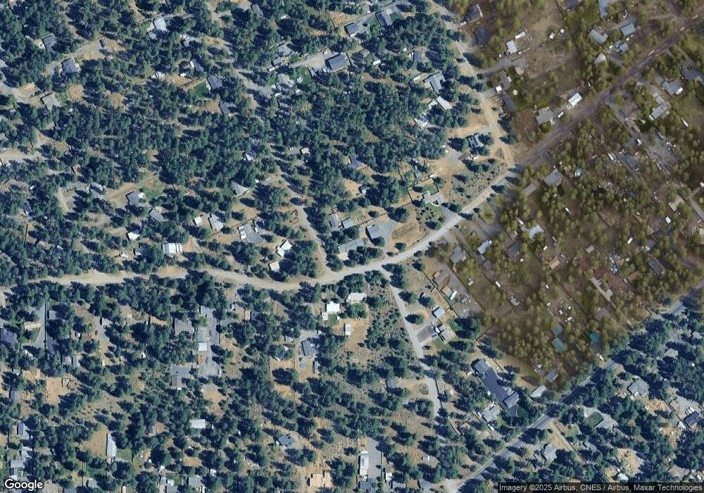
Map
Nearby Homes
- 19341 Apache Rd
- 19354 Kiowa Rd
- 19276 Kiowa Rd
- 60092 Minnetonka Ln
- 19344 Kiowa Rd
- 60340 Hiawatha Ln
- 60083 Navajo Rd
- 19434 River Woods Dr
- 19373 Indian Summer Rd
- 19191 Kiowa Rd
- 19304 Baker Rd
- 19275 Cherokee Rd
- 60095 Crater Rd
- 19154 Baker Rd
- 19494 Baker Rd
- 59895 Cheyenne Rd
- 60214 Agate Rd
- 60373 Cinder Butte Rd
- 19218 Shoshone Rd
- 60026 Turquoise Rd
- 60216 Pawnee Ln
- 19336 Apache Rd
- 60220 Pawnee Ln
- 60228 Pawnee Ln
- 60234 Pawnee Ln
- 19355 Apache Rd
- 60229 Pawnee Ln
- 19333 Apache Rd
- 60219 Pawnee Ln
- 60239 Pawnee Ln
- 19393 Apache Rd
- 60242 Pawnee Ln
- 19391 Apache Rd
- 19420 Apache Rd
- 19327 Apache Rd
- 60180 Pawnee Rd
- 60248 Pawnee Ln
- 60175 Pawnee Rd
- 60245 Pawnee Ln