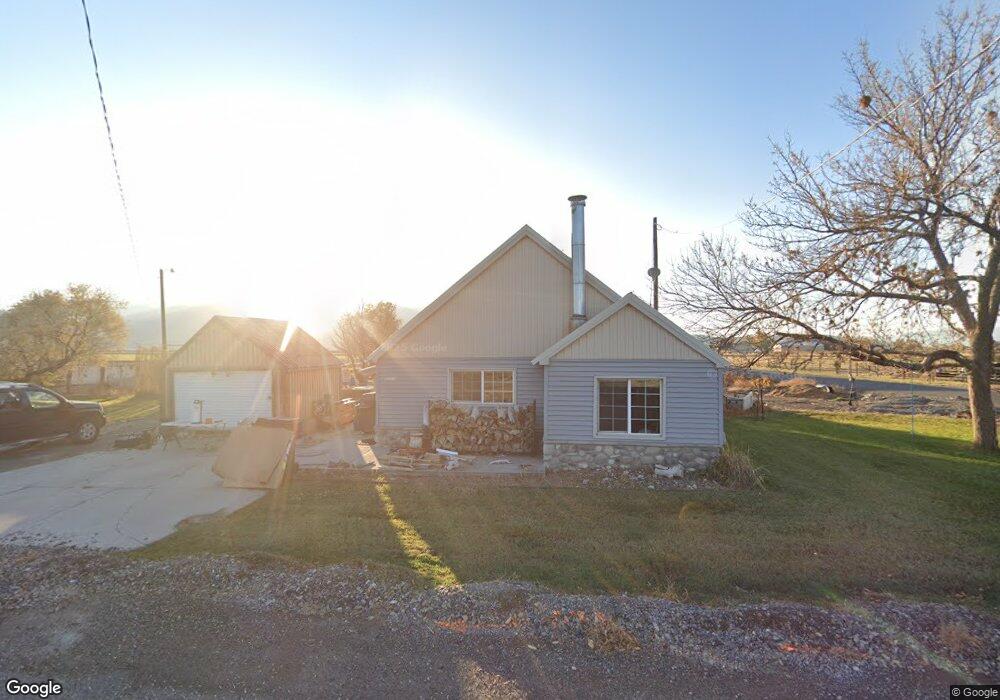
6022 S 4400 W Spanish Fork, UT 84660
Estimated Value: $540,000 - $767,000
3
Beds
1
Bath
985
Sq Ft
$660/Sq Ft
Est. Value
About This Home
This home is located at 6022 S 4400 W, Spanish Fork, UT 84660 and is currently estimated at $650,276, approximately $660 per square foot. 6022 S 4400 W is a home located in Utah County with nearby schools including Brockbank Elementary School, Spanish Fork Jr High School, and Spanish Fork High School.
Ownership History
Date
Name
Owned For
Owner Type
Purchase Details
Closed on
Sep 8, 2004
Sold by
Clayson Sam and Seegmiller Susan
Bought by
Clayson Sam and Clayson Susan
Current Estimated Value
Home Financials for this Owner
Home Financials are based on the most recent Mortgage that was taken out on this home.
Original Mortgage
$84,000
Interest Rate
6.06%
Mortgage Type
New Conventional
Purchase Details
Closed on
Apr 25, 2000
Sold by
Associates Financial Svcs Co Of Utah Inc
Bought by
Clayson Sam and Seegmiller Susan
Home Financials for this Owner
Home Financials are based on the most recent Mortgage that was taken out on this home.
Original Mortgage
$82,450
Interest Rate
8.24%
Purchase Details
Closed on
Dec 18, 1996
Sold by
Ford Grant B
Bought by
Ford Grant B and Ford Shauna
Home Financials for this Owner
Home Financials are based on the most recent Mortgage that was taken out on this home.
Original Mortgage
$42,500
Interest Rate
7.67%
Create a Home Valuation Report for This Property
The Home Valuation Report is an in-depth analysis detailing your home's value as well as a comparison with similar homes in the area
Home Values in the Area
Average Home Value in this Area
Purchase History
| Date | Buyer | Sale Price | Title Company |
|---|---|---|---|
| Clayson Sam | -- | Wasatch Title Insurance | |
| Clayson Sam | $85,000 | First American Title Co | |
| Ford Grant B | -- | -- | |
| Ford Grant B | -- | -- |
Source: Public Records
Mortgage History
| Date | Status | Borrower | Loan Amount |
|---|---|---|---|
| Closed | Clayson Sam | $84,000 | |
| Closed | Clayson Sam | $82,450 | |
| Previous Owner | Ford Grant B | $42,500 |
Source: Public Records
Tax History Compared to Growth
Tax History
| Year | Tax Paid | Tax Assessment Tax Assessment Total Assessment is a certain percentage of the fair market value that is determined by local assessors to be the total taxable value of land and additions on the property. | Land | Improvement |
|---|---|---|---|---|
| 2025 | $1,870 | $214,015 | $195,600 | $184,600 |
| 2024 | $1,870 | $186,950 | $0 | $0 |
| 2023 | $1,834 | $183,430 | $0 | $0 |
| 2022 | $1,702 | $295,000 | $198,600 | $96,400 |
| 2021 | $1,527 | $229,000 | $156,500 | $72,500 |
| 2020 | $1,397 | $203,300 | $130,800 | $72,500 |
| 2019 | $1,204 | $179,800 | $113,900 | $65,900 |
| 2018 | $1,121 | $159,800 | $93,900 | $65,900 |
| 2017 | $969 | $75,345 | $0 | $0 |
| 2016 | $773 | $58,295 | $0 | $0 |
| 2015 | $725 | $54,170 | $0 | $0 |
| 2014 | $724 | $54,170 | $0 | $0 |
Source: Public Records
Map
Nearby Homes
- 5884 S 3200 W
- 6612 S 3200 W
- 6668 S 3200 W
- 6692 S 3200 W
- 5310 S 3200 W
- 2968 W 7300 S
- 5272 S River Ln
- 4248 S 3200 W
- 5200 S River Dr Unit 3
- 5959 W 8000 S
- 2182 W 4600 S
- 8982 S 4800 W
- 1068 S 3440 E Unit 120
- 1085 S 3440 E Unit 107
- 0 Shoreview Ln Unit 10 2105027
- 1101 W 1580 N
- 1101 W 1580 N Unit 171
- 9337 S 3950 W
- 6550 S 1050 W
- 9284 S 3550 W
- 4387 W 6000 S
- 5982 S 4400 W
- 7200 S 4400 W Unit 1
- 7150 S 4400 W Unit 1
- 5896 S 4400 W
- 5938 S 4400 W
- 4552 W 6000 S
- 4302 W 6000 S
- 5856 S 4400 W
- 6181 S 4400 W
- 5837 S 4400 W
- 5814 S 4400 W
- 5797 S 4400 W
- 5758 S 4400 W Unit A-1
- 4644 W 6000 S
- 6239 S 4400 W
- 5668 S 4400 W
- 6339 S 4400 W
- 6336 S 4400 W
- 5967 S 4800 W