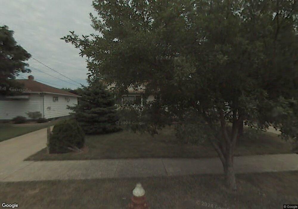
6023 Stark Dr Brookpark, OH 44142
Estimated Value: $183,869 - $239,000
3
Beds
1
Bath
936
Sq Ft
$225/Sq Ft
Est. Value
About This Home
This home is located at 6023 Stark Dr, Brookpark, OH 44142 and is currently estimated at $210,467, approximately $224 per square foot. 6023 Stark Dr is a home located in Cuyahoga County with nearby schools including Berea-Midpark Middle School, Berea-Midpark High School, and Huber Heights Preparatory Academy Parma Academy.
Ownership History
Date
Name
Owned For
Owner Type
Purchase Details
Closed on
Mar 25, 2011
Sold by
Lipski Carl and Lipski Pamela J
Bought by
Caton Raymond E and Caton Cheryl T
Current Estimated Value
Home Financials for this Owner
Home Financials are based on the most recent Mortgage that was taken out on this home.
Original Mortgage
$106,100
Outstanding Balance
$69,932
Interest Rate
4.25%
Mortgage Type
FHA
Estimated Equity
$140,535
Purchase Details
Closed on
Mar 26, 1987
Sold by
Berry Pamela J
Bought by
Lipski Carl and Lipski Pamela J
Purchase Details
Closed on
Jun 4, 1984
Sold by
Jerry E Berry
Bought by
Berry Pamela J
Purchase Details
Closed on
Oct 10, 1978
Sold by
Berry Edgar and Berry Sue
Bought by
Jerry E Berry
Purchase Details
Closed on
Jan 1, 1975
Bought by
Berry Edgar and Berry Sue
Create a Home Valuation Report for This Property
The Home Valuation Report is an in-depth analysis detailing your home's value as well as a comparison with similar homes in the area
Home Values in the Area
Average Home Value in this Area
Purchase History
| Date | Buyer | Sale Price | Title Company |
|---|---|---|---|
| Caton Raymond E | $108,900 | Attorney | |
| Lipski Carl | -- | -- | |
| Berry Pamela J | -- | -- | |
| Berry Pamela J | -- | -- | |
| Jerry E Berry | $42,500 | -- | |
| Berry Edgar | -- | -- |
Source: Public Records
Mortgage History
| Date | Status | Borrower | Loan Amount |
|---|---|---|---|
| Open | Caton Raymond E | $106,100 |
Source: Public Records
Tax History
| Year | Tax Paid | Tax Assessment Tax Assessment Total Assessment is a certain percentage of the fair market value that is determined by local assessors to be the total taxable value of land and additions on the property. | Land | Improvement |
|---|---|---|---|---|
| 2024 | $2,751 | $54,530 | $12,425 | $42,105 |
| 2023 | $2,784 | $45,710 | $9,030 | $36,680 |
| 2022 | $2,765 | $45,710 | $9,030 | $36,680 |
| 2021 | $2,748 | $45,710 | $9,030 | $36,680 |
| 2020 | $2,480 | $36,300 | $7,180 | $29,120 |
| 2019 | $2,406 | $103,700 | $20,500 | $83,200 |
| 2018 | $2,304 | $36,300 | $7,180 | $29,120 |
| 2017 | $2,396 | $33,530 | $6,720 | $26,810 |
| 2016 | $2,376 | $33,530 | $6,720 | $26,810 |
| 2015 | $2,230 | $33,530 | $6,720 | $26,810 |
| 2014 | $2,230 | $33,530 | $6,720 | $26,810 |
Source: Public Records
Map
Nearby Homes
- 6095 Stark Dr
- 6014 Westbrook Dr
- 6103 Westbrook Dr
- 6131 Hardin Dr
- 5889 Westbrook Dr
- 13874 Heatherwood Dr
- 14024 Donald Dr
- 5727 Gateway Ln Unit 1203
- 15532 Rademaker Dr
- 15424 Holland Rd
- 15497 Hummel Rd
- 13602 Holland Rd
- 16001 Sylvia Dr
- 16117 Hocking Blvd
- 16159 Bowfin Blvd
- 15633 Harrison Dr
- 6377 Ledgebrook Dr
- 14398 Sheldon Rd
- 16379 Hummel Rd
- 6333 W 130th St
- 6029 Stark Dr
- 6017 Stark Dr
- 6035 Stark Dr
- 14657 Fayette Blvd
- 14679 Fayette Blvd
- 14639 Fayette Blvd
- 6022 Morrow Dr
- 6041 Stark Dr
- 6028 Morrow Dr
- 6016 Morrow Dr
- 14621 Fayette Blvd
- 6034 Morrow Dr
- 6022 Stark Dr
- 6028 Stark Dr
- 6016 Stark Dr
- 6047 Stark Dr
- 14603 Fayette Blvd
- 14711 Fayette Blvd
- 6034 Stark Dr
- 6040 Morrow Dr
Your Personal Tour Guide
Ask me questions while you tour the home.