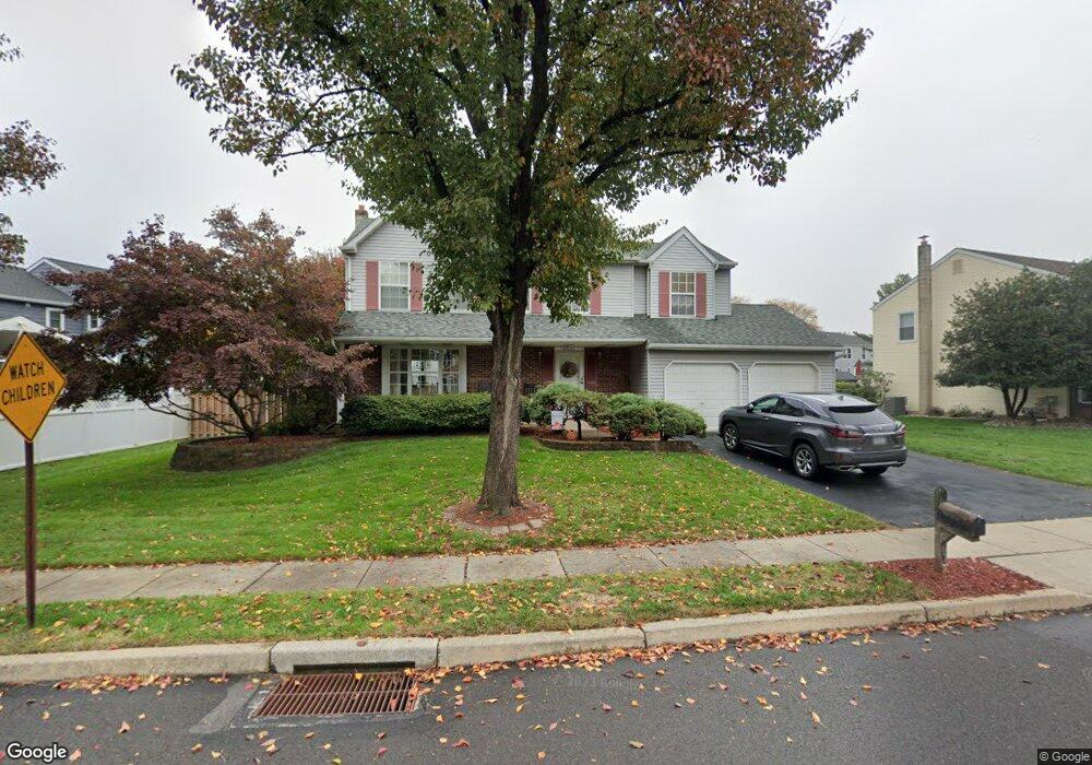
6025 Mark Cir Bensalem, PA 19020
Neshaminy Valley NeighborhoodEstimated Value: $547,000 - $585,000
4
Beds
3
Baths
1,994
Sq Ft
$282/Sq Ft
Est. Value
About This Home
This home is located at 6025 Mark Cir, Bensalem, PA 19020 and is currently estimated at $561,550, approximately $281 per square foot. 6025 Mark Cir is a home located in Bucks County with nearby schools including Valley Elementary School, St. Ephrem School, and Bensalem Baptist School.
Ownership History
Date
Name
Owned For
Owner Type
Purchase Details
Closed on
Jun 26, 1991
Sold by
Salem Farm Ltd Part
Bought by
Dragun David C and Dragun Heidi A
Current Estimated Value
Purchase Details
Closed on
Jun 29, 1988
Bought by
Salem Farm Ltd Part,
Create a Home Valuation Report for This Property
The Home Valuation Report is an in-depth analysis detailing your home's value as well as a comparison with similar homes in the area
Home Values in the Area
Average Home Value in this Area
Purchase History
| Date | Buyer | Sale Price | Title Company |
|---|---|---|---|
| Dragun David C | $168,300 | -- | |
| Salem Farm Ltd Part, | $1,039,000 | -- |
Source: Public Records
Tax History Compared to Growth
Tax History
| Year | Tax Paid | Tax Assessment Tax Assessment Total Assessment is a certain percentage of the fair market value that is determined by local assessors to be the total taxable value of land and additions on the property. | Land | Improvement |
|---|---|---|---|---|
| 2025 | $7,501 | $34,360 | $6,640 | $27,720 |
| 2024 | $7,501 | $34,360 | $6,640 | $27,720 |
| 2023 | $7,289 | $34,360 | $6,640 | $27,720 |
| 2022 | $7,247 | $34,360 | $6,640 | $27,720 |
| 2021 | $7,247 | $34,360 | $6,640 | $27,720 |
| 2020 | $7,174 | $34,360 | $6,640 | $27,720 |
| 2019 | $7,014 | $34,360 | $6,640 | $27,720 |
| 2018 | $6,851 | $34,360 | $6,640 | $27,720 |
| 2017 | $6,808 | $34,360 | $6,640 | $27,720 |
| 2016 | $6,808 | $34,360 | $6,640 | $27,720 |
| 2015 | -- | $34,360 | $6,640 | $27,720 |
| 2014 | -- | $34,360 | $6,640 | $27,720 |
Source: Public Records
Map
Nearby Homes
- 6124 Clearview Ave
- 1407 Cornflower Ln
- 6130 Clearview Ave
- 5817 Cricket Ln
- 5813 Edge Ave
- 1838 Sheri Rd
- 1734 Gibson Rd Unit 1
- 1790 Gibson Rd Unit 69
- 1852 Gibson Rd Unit 58
- L:003 Newportville Rd
- 1446 Gibson Rd Unit D50
- 1446 Gibson Rd Unit B4
- 1446 Gibson Rd
- 524 Washington Ave
- 2493 Barnsleigh Dr
- 301 Main St
- 2548 Nashua Rd
- 3702 Nichol St
- 66 Freedom Ln Unit 66
- 3200 Ellington Ct
- 6031 Mark Cir
- 6005 Snapdragon Ct
- 6011 Snapdragon Ct
- 6017 Snapdragon Ct
- 6024 Mark Cir
- 6037 Mark Cir
- 6023 Snapdragon Ct
- 6030 Mark Cir
- 6018 Mark Cir
- 6036 Mark Cir
- 6029 Snapdragon Ct
- 6004 Snapdragon Ct
- 6010 Snapdragon Ct
- 6043 Mark Cir
- 6016 Snapdragon Ct
- 1502 Point Dr
- 6042 Mark Cir
- 6022 Snapdragon Ct
- 6049 Mark Cir
- 6048 Mark Cir