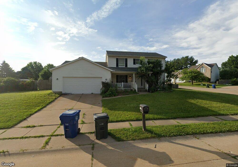
6025 Oakbrook Rd Davenport, IA 52806
North Side NeighborhoodEstimated Value: $309,000 - $342,000
4
Beds
4
Baths
1,968
Sq Ft
$167/Sq Ft
Est. Value
About This Home
This home is located at 6025 Oakbrook Rd, Davenport, IA 52806 and is currently estimated at $329,047, approximately $167 per square foot. 6025 Oakbrook Rd is a home located in Scott County with nearby schools including Harrison Elementary School, Wood Intermediate School, and North High School.
Ownership History
Date
Name
Owned For
Owner Type
Purchase Details
Closed on
Nov 21, 2024
Sold by
Steen Beverly Jean and Steen Barbara J
Bought by
Steen Beverly Jean and Steen Barbara J
Current Estimated Value
Create a Home Valuation Report for This Property
The Home Valuation Report is an in-depth analysis detailing your home's value as well as a comparison with similar homes in the area
Home Values in the Area
Average Home Value in this Area
Purchase History
| Date | Buyer | Sale Price | Title Company |
|---|---|---|---|
| Steen Beverly Jean | -- | None Listed On Document |
Source: Public Records
Tax History Compared to Growth
Tax History
| Year | Tax Paid | Tax Assessment Tax Assessment Total Assessment is a certain percentage of the fair market value that is determined by local assessors to be the total taxable value of land and additions on the property. | Land | Improvement |
|---|---|---|---|---|
| 2024 | $4,322 | $258,290 | $52,130 | $206,160 |
| 2023 | $4,424 | $258,290 | $52,130 | $206,160 |
| 2022 | $4,645 | $215,990 | $47,790 | $168,200 |
| 2021 | $4,442 | $215,990 | $47,790 | $168,200 |
| 2020 | $3,990 | $210,570 | $47,790 | $162,780 |
| 2019 | $4,128 | $192,480 | $47,790 | $144,690 |
| 2018 | $4,036 | $192,480 | $47,790 | $144,690 |
| 2017 | $1,071 | $192,480 | $47,790 | $144,690 |
| 2016 | $4,024 | $192,480 | $0 | $0 |
| 2015 | $4,024 | $180,250 | $0 | $0 |
| 2014 | $3,810 | $180,250 | $0 | $0 |
| 2013 | $3,740 | $0 | $0 | $0 |
| 2012 | -- | $188,430 | $56,670 | $131,760 |
Source: Public Records
Map
Nearby Homes
- 1415 W 59th St
- 1301 W 62nd Ct
- 1265 W 63rd St
- 6524 Lillie Ave
- 5524 N Division St
- Lot 26 Benjamin Ct
- 5516 N Division St
- 5510 N Division St
- 5436 N Division St
- Lot 65 W 66th St
- Lot 56 Franklin Ave
- LOT 54 Franklin Ave
- 803 W 57th St
- 6317 Appomattox Rd
- 6922 Madison St
- 665 W 64th St
- 5310 N Division St
- 1821 W 69th St
- 1901 W 56th Ct
- 6112 Western Ave
- 1412 W 60th St
- 1415 Meadowview Ln
- 6022 Oakbrook Rd
- 1406 W 60th St
- 6032 Oakbrook Rd
- 6002 Oakbrook Rd
- 1409 Meadowview Ln
- 1421 W 60th St
- 1413 W 60th St
- 6042 Oakbrook Rd
- 5960 Oakbrook Rd
- 1402 W 60th St
- 1407 W 60th St
- 1405 Meadowview Ln
- 6048 Oakbrook Rd
- 1412 Meadowview Ln
- 1403 W 60th St
- 5953 Oakbrook Rd
- 5950 Oakbrook Rd
- 1354 W 60th St