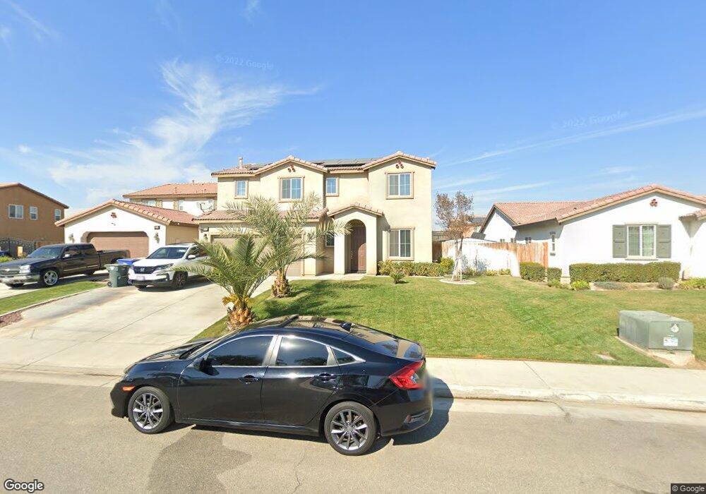
6028 Moonstone Peak Dr Bakersfield, CA 93313
Panama NeighborhoodEstimated Value: $432,368 - $521,000
5
Beds
3
Baths
870
Sq Ft
$531/Sq Ft
Est. Value
About This Home
This home is located at 6028 Moonstone Peak Dr, Bakersfield, CA 93313 and is currently estimated at $462,092, approximately $531 per square foot. 6028 Moonstone Peak Dr is a home with nearby schools including Bill L. Williams Elementary School, Stonecreek Junior High School, and Ridgeview High School.
Ownership History
Date
Name
Owned For
Owner Type
Purchase Details
Closed on
Aug 14, 2014
Sold by
D R Horton Ven Inc
Bought by
Daugherty Devin A
Current Estimated Value
Home Financials for this Owner
Home Financials are based on the most recent Mortgage that was taken out on this home.
Original Mortgage
$261,455
Outstanding Balance
$201,497
Interest Rate
4.4%
Mortgage Type
FHA
Estimated Equity
$260,595
Create a Home Valuation Report for This Property
The Home Valuation Report is an in-depth analysis detailing your home's value as well as a comparison with similar homes in the area
Home Values in the Area
Average Home Value in this Area
Purchase History
| Date | Buyer | Sale Price | Title Company |
|---|---|---|---|
| Daugherty Devin A | $266,500 | First American Title Company |
Source: Public Records
Mortgage History
| Date | Status | Borrower | Loan Amount |
|---|---|---|---|
| Open | Daugherty Devin A | $261,455 |
Source: Public Records
Tax History Compared to Growth
Tax History
| Year | Tax Paid | Tax Assessment Tax Assessment Total Assessment is a certain percentage of the fair market value that is determined by local assessors to be the total taxable value of land and additions on the property. | Land | Improvement |
|---|---|---|---|---|
| 2025 | $4,497 | $319,681 | $61,889 | $257,792 |
| 2024 | $4,412 | $313,414 | $60,676 | $252,738 |
| 2023 | $4,412 | $307,270 | $59,487 | $247,783 |
| 2022 | $4,232 | $301,246 | $58,321 | $242,925 |
| 2021 | $4,100 | $295,340 | $57,178 | $238,162 |
| 2020 | $4,040 | $292,312 | $56,592 | $235,720 |
| 2019 | $3,985 | $292,312 | $56,592 | $235,720 |
| 2018 | $3,813 | $280,964 | $54,396 | $226,568 |
| 2017 | $3,744 | $275,456 | $53,330 | $222,126 |
| 2016 | $3,527 | $270,056 | $52,285 | $217,771 |
| 2015 | $3,574 | $266,000 | $51,500 | $214,500 |
| 2014 | $628 | $51,733 | $51,733 | $0 |
Source: Public Records
Map
Nearby Homes
- 6009 Moonstone Peak Dr
- 5815 Pearl Ridge Dr
- 8505 Marble Ridge Way
- 6040 Samuelson St
- 6310 Thorton Ave
- 6225 Thorton Ave
- 5518 Coburn Ridge Ct
- 6115 Cape Cod Ave
- 6201 Cape Cod Ave
- 5400 Saddleback Ridge Ct
- 9301 Cobble Mountain Rd
- 9003 Great Harvest Dr
- 5407 Red Wheat Ave
- 6003 Vespucci Ave
- 6006 Vespucci Ave
- 6104 Vespucci Ave
- 5803 Vespucci Ave
- 5404 Viewcrest Dr
- 9402 Cobble Mountain Rd
- 9623 Kanosh Cobble Dr
- 6032 Moonstone Peak Dr
- 6024 Moonstone Peak Dr
- 6020 Moonstone Peak Dr
- 6019 Woodard Ridge Dr
- 6036 Moonstone Peak Dr
- 6011 Woodard Ridge Dr
- 6007 Woodard Ridge Dr
- 6025 Moonstone Peak Dr
- 6023 Woodard Ridge Dr
- 6029 Moonstone Peak Dr
- 6033 Moonstone Peak Dr
- 6016 Moonstone Peak Dr
- 6037 Moonstone Peak Dr
- 6021 Moonstone Peak Dr
- 6003 Woodard Ridge Dr
- 6012 Moonstone Peak Dr
- 6017 Moonstone Peak Dr
- 5913 Woodard Ridge Dr
- 6030 Pearl Ridge Dr
- 6014 Woodard Ridge Dr