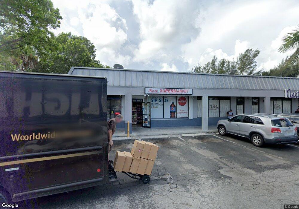
6028 Radio Rd Naples, FL 34104
East Naples NeighborhoodEstimated Value: $4,101,573
--
Bed
--
Bath
19,710
Sq Ft
$208/Sq Ft
Est. Value
About This Home
This home is located at 6028 Radio Rd, Naples, FL 34104 and is currently estimated at $4,101,573, approximately $208 per square foot. 6028 Radio Rd is a home located in Collier County with nearby schools including Shadowlawn Elementary School, Naples High School, and East Naples Middle School.
Ownership History
Date
Name
Owned For
Owner Type
Purchase Details
Closed on
Jul 31, 2012
Sold by
Naples Property Services Iii Llc
Bought by
Radio Road Plaza Investments Llc
Current Estimated Value
Purchase Details
Closed on
Sep 13, 2005
Sold by
Yad V Kidush Hashem House Of Martyrs Inc
Bought by
Naples Property Services Iii Llc
Home Financials for this Owner
Home Financials are based on the most recent Mortgage that was taken out on this home.
Original Mortgage
$2,962,500
Interest Rate
5.77%
Mortgage Type
Commercial
Create a Home Valuation Report for This Property
The Home Valuation Report is an in-depth analysis detailing your home's value as well as a comparison with similar homes in the area
Home Values in the Area
Average Home Value in this Area
Purchase History
| Date | Buyer | Sale Price | Title Company |
|---|---|---|---|
| Radio Road Plaza Investments Llc | $1,350,000 | Attorney | |
| Naples Property Services Iii Llc | $3,961,000 | -- |
Source: Public Records
Mortgage History
| Date | Status | Borrower | Loan Amount |
|---|---|---|---|
| Previous Owner | Naples Property Services Iii Llc | $2,962,500 |
Source: Public Records
Tax History Compared to Growth
Tax History
| Year | Tax Paid | Tax Assessment Tax Assessment Total Assessment is a certain percentage of the fair market value that is determined by local assessors to be the total taxable value of land and additions on the property. | Land | Improvement |
|---|---|---|---|---|
| 2025 | $16,467 | $1,612,541 | $782,223 | $830,318 |
| 2024 | $16,513 | $1,603,013 | $782,223 | $820,790 |
| 2023 | $16,513 | $1,585,612 | $782,223 | $803,389 |
| 2022 | $17,041 | $1,538,236 | $782,223 | $756,013 |
| 2021 | $17,216 | $1,490,589 | $727,467 | $763,122 |
| 2020 | $18,008 | $1,573,088 | $668,675 | $904,413 |
| 2019 | $17,184 | $1,447,073 | $0 | $0 |
| 2018 | $15,294 | $1,315,521 | $567,743 | $747,778 |
| 2017 | $15,149 | $1,292,070 | $567,743 | $724,327 |
| 2016 | $15,028 | $1,275,959 | $0 | $0 |
| 2015 | $15,001 | $1,234,453 | $0 | $0 |
| 2014 | $13,886 | $1,128,051 | $0 | $0 |
Source: Public Records
Map
Nearby Homes
- 6014 Radio Rd
- 101 Cape Sable Dr
- 105 Cape Sable Dr
- 5680 Radio Rd
- 109 Cape Sable Dr
- 0 San Marcos Blvd
- 113 Cape Sable Dr
- 102 Cape Sable Dr
- 100 Cape Sable Dr
- 117 Cape Sable Dr
- 104 Cape Sable Dr
- 108 Cape Sable Dr
- 121 Cape Sable Dr
- 823 Cape Haze Ln
- 112 Cape Sable Dr
- 529 Leawood Cir
- 825 Cape Haze Ln
- 821 Cape Haze Ln
- 125 Cape Sable Dr
- 116 Cape Sable Dr