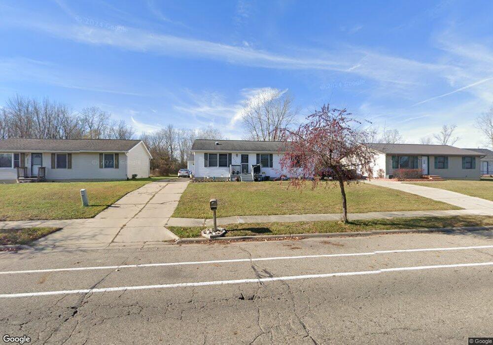
6028 Wise Rd Lansing, MI 48911
Southern Lansing NeighborhoodEstimated Value: $151,000 - $183,987
3
Beds
2
Baths
1,120
Sq Ft
$153/Sq Ft
Est. Value
About This Home
This home is located at 6028 Wise Rd, Lansing, MI 48911 and is currently estimated at $171,497, approximately $153 per square foot. 6028 Wise Rd is a home located in Ingham County with nearby schools including Reo Elementary School, Attwood School, and Everett High School.
Ownership History
Date
Name
Owned For
Owner Type
Purchase Details
Closed on
Jun 13, 2001
Sold by
Berndt Jason D and Berndt Kelly A
Bought by
Carter Aaron E
Current Estimated Value
Home Financials for this Owner
Home Financials are based on the most recent Mortgage that was taken out on this home.
Original Mortgage
$89,929
Outstanding Balance
$32,727
Interest Rate
7.18%
Mortgage Type
FHA
Estimated Equity
$138,770
Purchase Details
Closed on
Mar 31, 1998
Sold by
Fedewa Gerald S and Fedewa Janice J
Bought by
Berndt Jason and Thomas Kelly
Create a Home Valuation Report for This Property
The Home Valuation Report is an in-depth analysis detailing your home's value as well as a comparison with similar homes in the area
Home Values in the Area
Average Home Value in this Area
Purchase History
| Date | Buyer | Sale Price | Title Company |
|---|---|---|---|
| Carter Aaron E | $94,000 | Midstate Title Company | |
| Berndt Jason | $75,800 | -- |
Source: Public Records
Mortgage History
| Date | Status | Borrower | Loan Amount |
|---|---|---|---|
| Open | Carter Aaron E | $89,929 |
Source: Public Records
Tax History
| Year | Tax Paid | Tax Assessment Tax Assessment Total Assessment is a certain percentage of the fair market value that is determined by local assessors to be the total taxable value of land and additions on the property. | Land | Improvement |
|---|---|---|---|---|
| 2025 | $2,924 | $97,800 | $7,300 | $90,500 |
| 2024 | $23 | $71,300 | $7,300 | $64,000 |
| 2023 | $2,742 | $61,700 | $7,300 | $54,400 |
| 2022 | $2,472 | $61,700 | $4,700 | $57,000 |
| 2021 | $2,421 | $51,800 | $4,500 | $47,300 |
| 2020 | $2,406 | $49,300 | $4,500 | $44,800 |
| 2019 | $2,306 | $46,000 | $4,500 | $41,500 |
| 2018 | $2,161 | $40,100 | $4,500 | $35,600 |
| 2017 | $2,069 | $40,100 | $4,500 | $35,600 |
| 2016 | $1,979 | $39,300 | $4,500 | $34,800 |
| 2015 | $1,979 | $38,400 | $9,086 | $29,314 |
| 2014 | $1,979 | $35,000 | $14,765 | $20,235 |
Source: Public Records
Map
Nearby Homes
- 3220 W Miller Rd
- 2961 S Waverly Hwy
- 2700 Eaton Rapids Road #193 Rd
- 5424 S Waverly Rd
- 5838 S Martin Luther King Junior Blvd
- 5129 Wexford Rd
- 2918 Midwood St
- 5650 Hughes Rd
- 2807 W Jolly Rd
- 2416 Midwood St
- 2616 Michigan 99
- 3428 W Jolly Rd
- 2706 W Jolly Rd
- 3214 Raynell St
- 6037 Hughes Rd
- 5723 Taffy Pkwy
- 2800 S Waverly Rd
- 5902 Haag Rd
- 0 Midwood St
- 2520 Lanier Ct
Your Personal Tour Guide
Ask me questions while you tour the home.