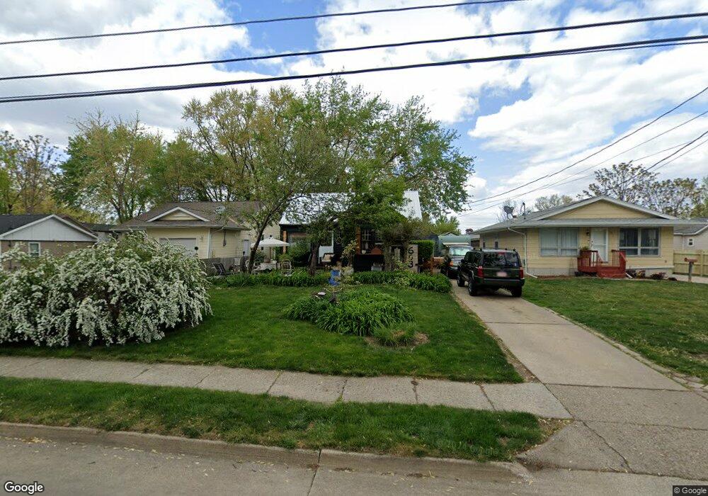
603 Leach Ave Des Moines, IA 50315
Watrous Heights NeighborhoodEstimated Value: $162,000 - $191,000
3
Beds
1
Bath
1,110
Sq Ft
$162/Sq Ft
Est. Value
About This Home
This home is located at 603 Leach Ave, Des Moines, IA 50315 and is currently estimated at $180,370, approximately $162 per square foot. 603 Leach Ave is a home located in Polk County with nearby schools including South Union Elementary School, Brody Middle School, and Lincoln High School.
Ownership History
Date
Name
Owned For
Owner Type
Purchase Details
Closed on
Jun 14, 2007
Sold by
Cunningham Phyllis
Bought by
Cunningham Phyllis and Crawford Jeannie
Current Estimated Value
Purchase Details
Closed on
Sep 15, 2006
Sold by
Hormel Thomas and Lunesford Susan
Bought by
Cunningham Phyllis
Home Financials for this Owner
Home Financials are based on the most recent Mortgage that was taken out on this home.
Original Mortgage
$70,050
Outstanding Balance
$41,884
Interest Rate
6.59%
Mortgage Type
Purchase Money Mortgage
Estimated Equity
$138,486
Create a Home Valuation Report for This Property
The Home Valuation Report is an in-depth analysis detailing your home's value as well as a comparison with similar homes in the area
Home Values in the Area
Average Home Value in this Area
Purchase History
| Date | Buyer | Sale Price | Title Company |
|---|---|---|---|
| Cunningham Phyllis | -- | None Available | |
| Cunningham Phyllis | $87,500 | None Available |
Source: Public Records
Mortgage History
| Date | Status | Borrower | Loan Amount |
|---|---|---|---|
| Open | Cunningham Phyllis | $70,050 |
Source: Public Records
Tax History Compared to Growth
Tax History
| Year | Tax Paid | Tax Assessment Tax Assessment Total Assessment is a certain percentage of the fair market value that is determined by local assessors to be the total taxable value of land and additions on the property. | Land | Improvement |
|---|---|---|---|---|
| 2025 | $2,828 | $174,600 | $33,200 | $141,400 |
| 2024 | $2,828 | $154,200 | $28,900 | $125,300 |
| 2023 | $2,680 | $154,200 | $28,900 | $125,300 |
| 2022 | $2,658 | $122,600 | $23,800 | $98,800 |
| 2021 | $2,656 | $122,600 | $23,800 | $98,800 |
| 2020 | $2,754 | $115,000 | $22,300 | $92,700 |
| 2019 | $2,528 | $115,000 | $22,300 | $92,700 |
| 2018 | $2,498 | $102,600 | $19,500 | $83,100 |
| 2017 | $2,380 | $102,600 | $19,500 | $83,100 |
| 2016 | $2,314 | $96,500 | $18,000 | $78,500 |
| 2015 | $2,314 | $96,500 | $18,000 | $78,500 |
| 2014 | $2,218 | $95,500 | $17,500 | $78,000 |
Source: Public Records
Map
Nearby Homes
- 518 Maxwelton Dr
- 3822 SW 2nd St
- 3903 SW 9th St
- 515 Emma Ave
- 612 Emma Ave
- 3634 SW 4th St
- 304 Herold Ave
- . Herold Ave
- 931 Rose Ave
- 3618 SW 9th St
- 3605 SW 9th St
- 108 E Philip St
- 930 Emma Ave
- 118 E Watrous Ave
- 3503 SW 2nd St
- 4108 SW 12th St
- 4020 SW 12th St
- 1204 Elder Ln
- 209 E Philip St
- 936 Mckinley Ave Unit 14