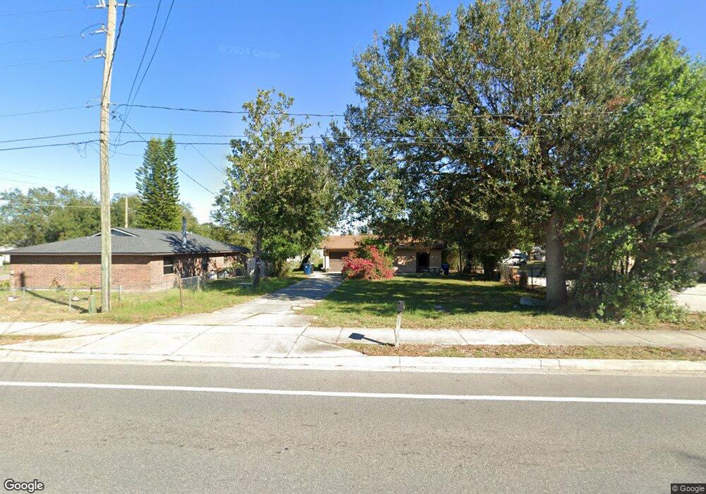
603 Main St Auburndale, FL 33823
Estimated Value: $232,000 - $325,000
3
Beds
1
Bath
1,674
Sq Ft
$164/Sq Ft
Est. Value
About This Home
This home is located at 603 Main St, Auburndale, FL 33823 and is currently estimated at $274,672, approximately $164 per square foot. 603 Main St is a home located in Polk County with nearby schools including Auburndale Central Elementary School, Auburndale Senior High School, and Jewett School of the Arts.
Ownership History
Date
Name
Owned For
Owner Type
Purchase Details
Closed on
Oct 14, 2025
Sold by
Donahue Michael D and Donahue Kelley L
Bought by
Donahue Michael D and Donahue Kelley L
Current Estimated Value
Purchase Details
Closed on
Sep 19, 1996
Sold by
Means Tressie L
Bought by
Donahue Michael D and Donahue Kelley L
Home Financials for this Owner
Home Financials are based on the most recent Mortgage that was taken out on this home.
Original Mortgage
$52,250
Interest Rate
7.83%
Mortgage Type
New Conventional
Create a Home Valuation Report for This Property
The Home Valuation Report is an in-depth analysis detailing your home's value as well as a comparison with similar homes in the area
Home Values in the Area
Average Home Value in this Area
Purchase History
| Date | Buyer | Sale Price | Title Company |
|---|---|---|---|
| Donahue Michael D | $100 | None Listed On Document | |
| Donahue Michael D | $55,000 | -- |
Source: Public Records
Mortgage History
| Date | Status | Borrower | Loan Amount |
|---|---|---|---|
| Previous Owner | Donahue Michael D | $57,000 | |
| Previous Owner | Donahue Michael D | $20,000 | |
| Previous Owner | Donahue Michael D | $57,500 | |
| Previous Owner | Donahue Michael D | $52,250 |
Source: Public Records
Tax History
| Year | Tax Paid | Tax Assessment Tax Assessment Total Assessment is a certain percentage of the fair market value that is determined by local assessors to be the total taxable value of land and additions on the property. | Land | Improvement |
|---|---|---|---|---|
| 2025 | $3,571 | $211,315 | $34,080 | $177,235 |
| 2024 | $234 | $218,100 | $28,968 | $189,132 |
| 2023 | $234 | $39,110 | $0 | $0 |
| 2022 | $216 | $37,971 | $0 | $0 |
| 2021 | $188 | $35,894 | $0 | $0 |
| 2020 | $180 | $35,398 | $0 | $0 |
| 2018 | $161 | $33,957 | $0 | $0 |
| 2017 | $148 | $33,259 | $0 | $0 |
| 2016 | $138 | $32,575 | $0 | $0 |
| 2015 | $136 | $32,349 | $0 | $0 |
| 2014 | $127 | $32,092 | $0 | $0 |
Source: Public Records
Map
Nearby Homes
Your Personal Tour Guide
Ask me questions while you tour the home.