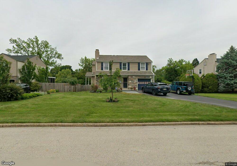
603 Maple Ln Flourtown, PA 19031
Estimated Value: $631,000 - $765,000
4
Beds
3
Baths
2,444
Sq Ft
$279/Sq Ft
Est. Value
About This Home
This home is located at 603 Maple Ln, Flourtown, PA 19031 and is currently estimated at $681,166, approximately $278 per square foot. 603 Maple Ln is a home located in Montgomery County with nearby schools including Erdenheim Elementary School, Enfield Elementary School, and Springfield Township Middle School.
Ownership History
Date
Name
Owned For
Owner Type
Purchase Details
Closed on
Jun 28, 2013
Sold by
Musielski Janet
Bought by
Wesztergom Anton and Wesztergom Kathleen
Current Estimated Value
Home Financials for this Owner
Home Financials are based on the most recent Mortgage that was taken out on this home.
Original Mortgage
$200,000
Interest Rate
3.51%
Mortgage Type
New Conventional
Create a Home Valuation Report for This Property
The Home Valuation Report is an in-depth analysis detailing your home's value as well as a comparison with similar homes in the area
Home Values in the Area
Average Home Value in this Area
Purchase History
| Date | Buyer | Sale Price | Title Company |
|---|---|---|---|
| Wesztergom Anton | $275,000 | None Available |
Source: Public Records
Mortgage History
| Date | Status | Borrower | Loan Amount |
|---|---|---|---|
| Closed | Wesztergom Anton | $200,000 |
Source: Public Records
Tax History Compared to Growth
Tax History
| Year | Tax Paid | Tax Assessment Tax Assessment Total Assessment is a certain percentage of the fair market value that is determined by local assessors to be the total taxable value of land and additions on the property. | Land | Improvement |
|---|---|---|---|---|
| 2025 | $8,929 | $189,560 | -- | -- |
| 2024 | $8,929 | $189,560 | -- | -- |
| 2023 | $8,618 | $189,560 | $0 | $0 |
| 2022 | $8,371 | $189,560 | $0 | $0 |
| 2021 | $8,152 | $189,560 | $0 | $0 |
| 2020 | $7,962 | $189,560 | $0 | $0 |
| 2019 | $7,839 | $189,560 | $0 | $0 |
| 2018 | $7,840 | $189,560 | $0 | $0 |
| 2017 | $7,483 | $189,560 | $0 | $0 |
| 2016 | $7,410 | $189,560 | $0 | $0 |
| 2015 | $7,244 | $189,560 | $0 | $0 |
| 2014 | $7,042 | $160,240 | $46,590 | $113,650 |
Source: Public Records
Map
Nearby Homes
- 2106 Carolton Way
- 6313 Sunnybrook Rd
- 9 Comly Ct
- 566 S Bethlehem Pike
- 407 Pennybrook Ct Unit 4 REDFORD END
- 405 Pennybrook Ct Unit 3 REDFORD INTERIOR
- 001 Pennybrook Ct Unit REDFORD INTERIOR
- 401 Pennybrook Ct Unit 1 REDFORD END
- 403 Pennybrook Ct Unit 2 REDFORD INTERIOR
- 406 Pennybrook Ct Unit 14 REDFORD INTERIOR
- 404 Pennybrook Ct Unit 15 REDFORD INTERIOR
- 238 Plymouth Ave
- 500 E Mill Rd
- 28 Grove Ave
- 1005 Harston Ln
- 21 Jones Ave
- 32 Jones Ave
- 21 Franklin Ave
- 418 Glenway Rd
- 303 Glenway Rd
- 605 Maple Ln
- 601 Maple Ln
- 607 Maple Ln
- 2018 Hilltop Rd
- 600 Maple Ln
- 2112 Church Rd
- 602 Maple Ln
- 604 Maple Ln
- 242 Arlingham Rd
- 244 Arlingham Rd
- 246 Arlingham Rd
- 2009 Hilltop Rd
- 2016 Hilltop Rd
- 2008 Church Rd
- 248 Arlingham Rd
- 240 Arlingham Rd
- 2105 Church Rd
- 2010 Hilltop Rd
- 2103 Church Rd
- 2101 Church Rd