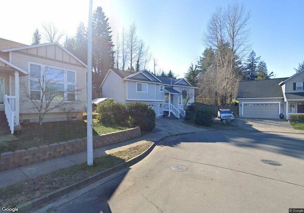
603 NE Anderson Rd Gresham, OR 97030
Powell Valley NeighborhoodEstimated Value: $457,000 - $518,000
Studio
2
Baths
1,442
Sq Ft
$333/Sq Ft
Est. Value
About This Home
This home is located at 603 NE Anderson Rd, Gresham, OR 97030 and is currently estimated at $480,108, approximately $332 per square foot. 603 NE Anderson Rd is a home located in Multnomah County with nearby schools including Powell Valley Elementary School, Gordon Russell Middle School, and Sam Barlow High School.
Ownership History
Date
Name
Owned For
Owner Type
Purchase Details
Closed on
Aug 20, 2003
Sold by
Ron Haggerty Inc
Bought by
Frey Dennis and Frey Suzanne
Current Estimated Value
Home Financials for this Owner
Home Financials are based on the most recent Mortgage that was taken out on this home.
Original Mortgage
$115,000
Outstanding Balance
$50,143
Interest Rate
5.6%
Mortgage Type
Purchase Money Mortgage
Estimated Equity
$429,965
Create a Home Valuation Report for This Property
The Home Valuation Report is an in-depth analysis detailing your home's value as well as a comparison with similar homes in the area
Home Values in the Area
Average Home Value in this Area
Purchase History
We collect this data history from publicly available records. To have your information removed, we recommend requesting removal directly through your county’s website.
| Date | Buyer | Sale Price | Title Company |
|---|---|---|---|
| Frey Dennis | $184,450 | First American |
Source: Public Records
Mortgage History
We collect this data history from publicly available records. To have your information removed, we recommend requesting removal directly through your county’s website.
| Date | Status | Borrower | Loan Amount |
|---|---|---|---|
| Open | Frey Dennis | $115,000 |
Source: Public Records
Tax History
| Year | Tax Paid | Tax Assessment Tax Assessment Total Assessment is a certain percentage of the fair market value that is determined by local assessors to be the total taxable value of land and additions on the property. | Land | Improvement |
|---|---|---|---|---|
| 2025 | $4,939 | $242,700 | -- | -- |
| 2024 | $4,728 | $235,640 | -- | -- |
| 2023 | $4,307 | $228,780 | $0 | $0 |
| 2022 | $4,187 | $222,120 | $0 | $0 |
| 2021 | $4,082 | $215,660 | $0 | $0 |
| 2020 | $3,840 | $209,380 | $0 | $0 |
| 2019 | $3,740 | $203,290 | $0 | $0 |
| 2018 | $3,566 | $197,370 | $0 | $0 |
| 2017 | $3,421 | $191,630 | $0 | $0 |
| 2016 | $3,017 | $186,050 | $0 | $0 |
| 2015 | $2,952 | $180,640 | $0 | $0 |
| 2014 | $2,880 | $175,380 | $0 | $0 |
Source: Public Records
Map
Nearby Homes
- 499 NE Williams Rd
- 4057 NE 5th Dr
- 150 NE Greenway Dr
- 4343 NE 1st St
- 2505 SE Troutdale Rd
- 4396 SE 1st Terrace
- 275 NE Scott Dr
- 3454 NE 5th Ct
- 3910 SE El Camino Dr
- 182 SE Anderson Ln
- 193 SE Paloma Ave
- 1185 NE Hacienda Ln
- 4545 SE 3rd St
- 100 NE Kane Dr Unit 100
- 4029 NE 16th Ct
- 289 SE Acacia Dr
- 295 SE Baker Ave
- 205 SE Olvera Ave
- 286 SE Condor Dr
- 1661 NE Barnes Ln
- 593 NE Anderson Rd
- 4187 NE 5th Dr
- 611 NE Anderson Rd
- 627 NE Anderson Rd
- 485 NE Lovrien Place
- 571 NE Anderson Rd
- 571 NE Anderson Rd
- 639 NE Anderson Rd
- 588 NE Anderson Rd
- 496 NE Laura Ave
- 4165 NE 5th Dr
- 576 NE Anderson Rd
- 650 NE Anderson Rd
- 470 NE Laura Ave
- 4151 NE 5th Dr
- 673 NE Anderson Rd
- 645 NE Wendy Ln
- 562 NE Anderson Rd
- 672 NE Anderson Rd
- 677 NE Anderson Rd
Your Personal Tour Guide
Ask me questions while you tour the home.