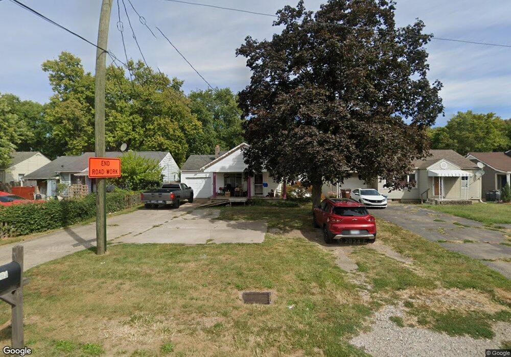
603 Oxford State Rd Middletown, OH 45044
Estimated Value: $137,000 - $161,000
2
Beds
1
Bath
1,146
Sq Ft
$131/Sq Ft
Est. Value
About This Home
This home is located at 603 Oxford State Rd, Middletown, OH 45044 and is currently estimated at $150,128, approximately $131 per square foot. 603 Oxford State Rd is a home located in Butler County with nearby schools including Amanda Elementary School, Highview 6th Grade Center, and Middletown Middle School.
Ownership History
Date
Name
Owned For
Owner Type
Purchase Details
Closed on
Apr 30, 1999
Sold by
Dougherty William B and Dougherty Crystal D
Bought by
Nichols Timothy L and Nichols Heather L
Current Estimated Value
Home Financials for this Owner
Home Financials are based on the most recent Mortgage that was taken out on this home.
Original Mortgage
$65,460
Interest Rate
7.05%
Mortgage Type
FHA
Create a Home Valuation Report for This Property
The Home Valuation Report is an in-depth analysis detailing your home's value as well as a comparison with similar homes in the area
Home Values in the Area
Average Home Value in this Area
Purchase History
| Date | Buyer | Sale Price | Title Company |
|---|---|---|---|
| Nichols Timothy L | $66,000 | Midland Title Security Inc |
Source: Public Records
Mortgage History
| Date | Status | Borrower | Loan Amount |
|---|---|---|---|
| Closed | Nichols Timothy L | $65,460 |
Source: Public Records
Tax History Compared to Growth
Tax History
| Year | Tax Paid | Tax Assessment Tax Assessment Total Assessment is a certain percentage of the fair market value that is determined by local assessors to be the total taxable value of land and additions on the property. | Land | Improvement |
|---|---|---|---|---|
| 2024 | $1,886 | $32,850 | $5,430 | $27,420 |
| 2023 | $1,806 | $32,850 | $5,430 | $27,420 |
| 2022 | $1,758 | $27,800 | $5,430 | $22,370 |
| 2021 | $1,706 | $27,800 | $5,430 | $22,370 |
| 2020 | $1,771 | $27,800 | $5,430 | $22,370 |
| 2019 | $1,621 | $22,420 | $5,490 | $16,930 |
| 2018 | $1,576 | $22,420 | $5,490 | $16,930 |
| 2017 | $1,416 | $22,420 | $5,490 | $16,930 |
| 2016 | $1,641 | $22,420 | $5,490 | $16,930 |
| 2015 | $1,456 | $22,420 | $5,490 | $16,930 |
| 2014 | $1,597 | $22,420 | $5,490 | $16,930 |
| 2013 | $1,597 | $24,030 | $5,490 | $18,540 |
Source: Public Records
Map
Nearby Homes
- 3109 Locust St
- 0 Jackson St Unit 895859
- 0 Jackson St Unit 1780028
- 720 Diamond Loop
- 580 Diamond Loop
- 1102 Forrer St
- 3004 Judy Dr
- 3620 S Main St
- 514 Granada Ave
- 712 Buena Ave
- 3113 Rufus St
- 3107 Rufus St
- 3209 Rufus St
- 2900 Morgan St
- 2004 Minnesota St
- 1602 Oxford State Rd
- 1613 Sheridan Ave
- 1702 Glenwood Ave
- 1709 Oxford State Rd
- 1717 Pershing Ave
- 605 Oxford State Rd
- 601 Oxford State Rd
- 607 Oxford State Rd
- 515 Oxford State Rd
- 609 Oxford State Rd
- 513 Oxford State Rd
- 611 Oxford State Rd
- 602 Oxford State Rd
- 514 Oxford State Rd
- 606 Oxford State Rd
- 610 Oxford State Rd
- 608 Oxford State Rd
- 510 Oxford State Rd Unit B
- 510 Oxford State Rd
- 568 Oxford State Rd
- 568 Oxford St Rdf
- D & E Oxford State Rd
- 704 Oxford State Rd
- 614 Oxford State Rd
- 3131 S Main St