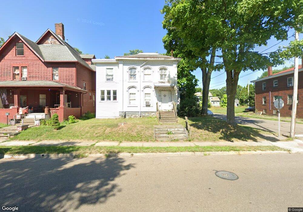
603 S Arch Ave Alliance, OH 44601
Estimated Value: $20,475 - $114,000
6
Beds
3
Baths
2,445
Sq Ft
$32/Sq Ft
Est. Value
About This Home
This home is located at 603 S Arch Ave, Alliance, OH 44601 and is currently estimated at $79,119, approximately $32 per square foot. 603 S Arch Ave is a home located in Stark County with nearby schools including Alliance Intermediate School at Northside, Alliance Elementary School at Rockhill, and Alliance Middle School.
Ownership History
Date
Name
Owned For
Owner Type
Purchase Details
Closed on
Feb 20, 2009
Sold by
Beltz Jennifer J and Beltz Charles A
Bought by
Acorn Rentals Iii Ltd
Current Estimated Value
Purchase Details
Closed on
Mar 27, 2002
Sold by
Wood John H and Wood Linda L
Bought by
Beltz Jennifer J
Purchase Details
Closed on
Dec 22, 1998
Sold by
Wesley Kennedy K and Miller Paul
Bought by
Hoobler Robert J and Hoobler Michele M
Purchase Details
Closed on
Jul 22, 1997
Sold by
Everett Charlie
Bought by
Millkenn Properties
Purchase Details
Closed on
Mar 17, 1994
Purchase Details
Closed on
Jun 4, 1993
Purchase Details
Closed on
Nov 30, 1990
Purchase Details
Closed on
Nov 7, 1988
Create a Home Valuation Report for This Property
The Home Valuation Report is an in-depth analysis detailing your home's value as well as a comparison with similar homes in the area
Home Values in the Area
Average Home Value in this Area
Purchase History
| Date | Buyer | Sale Price | Title Company |
|---|---|---|---|
| Acorn Rentals Iii Ltd | -- | Attorney | |
| Beltz Jennifer J | $10,000 | Union Title Company | |
| Hoobler Robert J | $31,300 | -- | |
| Millkenn Properties | $413 | -- | |
| -- | -- | -- | |
| -- | -- | -- | |
| -- | $23,900 | -- | |
| -- | $2,000 | -- |
Source: Public Records
Tax History
| Year | Tax Paid | Tax Assessment Tax Assessment Total Assessment is a certain percentage of the fair market value that is determined by local assessors to be the total taxable value of land and additions on the property. | Land | Improvement |
|---|---|---|---|---|
| 2025 | -- | $11,870 | $4,620 | $7,250 |
| 2024 | -- | $11,870 | $4,620 | $7,250 |
| 2023 | $429 | $10,430 | $2,520 | $7,910 |
| 2022 | $432 | $10,430 | $2,520 | $7,910 |
| 2021 | $433 | $10,430 | $2,520 | $7,910 |
| 2020 | $405 | $9,100 | $2,170 | $6,930 |
| 2019 | $399 | $9,100 | $2,170 | $6,930 |
Source: Public Records
Map
Nearby Homes
- 726 S Arch Ave
- 452 E Summit St
- 62 E High St
- 0 E Oxford St
- V/L S Freedom Ave
- 234 Rosenberry St
- 427 S Union Ave
- 231 Rosenberry St
- 807 S Union Ave
- 226 Milner St
- 46 Rosenberry St
- 442 S Liberty Ave
- 361 E Main St
- 62 E Market St
- 134 11th St
- 167 11th St
- 621 S Haines Ave
- 228 W Oxford St
- 203 Glamorgan St
- 955 E Summit St
- 611 S Arch Ave
- 623 S Arch Ave
- 549 S Arch Ave
- 539 S Arch Ave
- 539 S Arch Ave Unit B
- 539 S Arch Ave Unit Upstairs Apt
- 539 S Arch Ave Unit UP
- 222 E Cambridge St
- 637 S Arch Ave
- 542 S Arch Ave
- 602 S Arch Ave
- 531 S Arch Ave
- 612 S Arch Ave
- 224 E Cambridge St
- 305 E Cambridge St
- 210 E Cambridge St
- 622 S Arch Ave
- 634 S Mechanic Ave
- 634 1/2 S Mechanic Ave
- 315 E Cambridge St
Your Personal Tour Guide
Ask me questions while you tour the home.