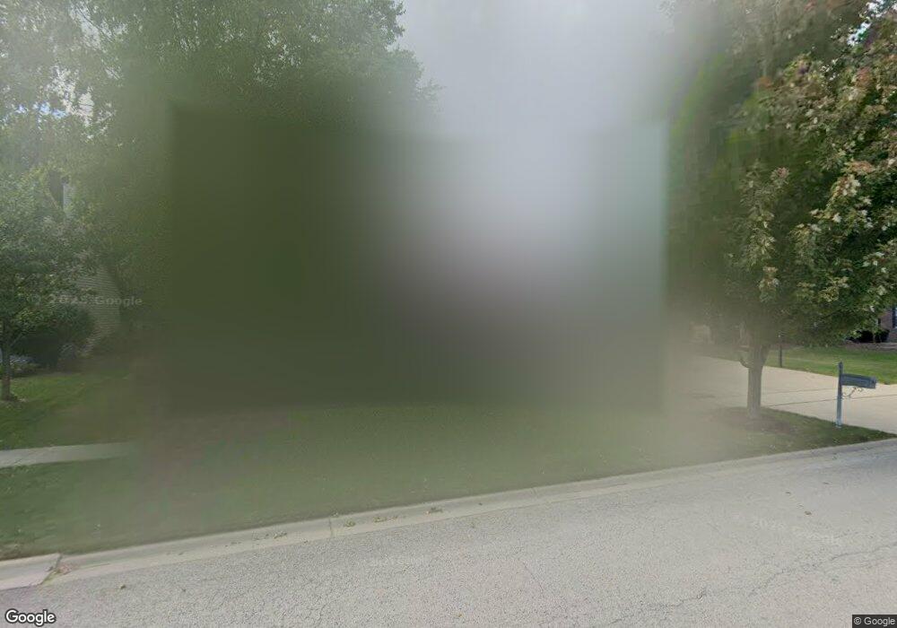
603 Spruce Ct Oswego, IL 60543
Northwest Oswego NeighborhoodEstimated Value: $557,569 - $770,000
4
Beds
3
Baths
3,222
Sq Ft
$195/Sq Ft
Est. Value
About This Home
This home is located at 603 Spruce Ct, Oswego, IL 60543 and is currently estimated at $629,142, approximately $195 per square foot. 603 Spruce Ct is a home located in Kendall County with nearby schools including Fox Chase Elementary School, Traughber Junior High School, and Oswego High School.
Ownership History
Date
Name
Owned For
Owner Type
Purchase Details
Closed on
Aug 22, 2003
Sold by
D B Dean Builders Inc
Bought by
Conidi Scott J and Conidi Leslie E
Current Estimated Value
Home Financials for this Owner
Home Financials are based on the most recent Mortgage that was taken out on this home.
Original Mortgage
$210,000
Outstanding Balance
$96,233
Interest Rate
6.18%
Mortgage Type
Purchase Money Mortgage
Estimated Equity
$532,909
Create a Home Valuation Report for This Property
The Home Valuation Report is an in-depth analysis detailing your home's value as well as a comparison with similar homes in the area
Home Values in the Area
Average Home Value in this Area
Purchase History
| Date | Buyer | Sale Price | Title Company |
|---|---|---|---|
| Conidi Scott J | $413,000 | Chicago Title Insurance Co |
Source: Public Records
Mortgage History
| Date | Status | Borrower | Loan Amount |
|---|---|---|---|
| Open | Conidi Scott J | $210,000 | |
| Closed | Conidi Scott J | $161,330 |
Source: Public Records
Tax History
| Year | Tax Paid | Tax Assessment Tax Assessment Total Assessment is a certain percentage of the fair market value that is determined by local assessors to be the total taxable value of land and additions on the property. | Land | Improvement |
|---|---|---|---|---|
| 2024 | $12,728 | $165,378 | $16,512 | $148,866 |
| 2023 | $11,496 | $147,963 | $14,773 | $133,190 |
| 2022 | $11,496 | $134,329 | $13,412 | $120,917 |
| 2021 | $11,080 | $125,372 | $13,412 | $111,960 |
| 2020 | $10,906 | $123,177 | $13,412 | $109,765 |
| 2019 | $10,740 | $119,589 | $13,021 | $106,568 |
| 2018 | $5,968 | $113,151 | $13,021 | $100,130 |
| 2017 | $10,605 | $109,300 | $13,021 | $96,279 |
| 2016 | $10,021 | $101,757 | $13,021 | $88,736 |
| 2015 | $9,410 | $91,453 | $11,225 | $80,228 |
| 2014 | -- | $91,603 | $11,225 | $80,378 |
| 2013 | -- | $91,603 | $11,225 | $80,378 |
Source: Public Records
Map
Nearby Homes
- 316 Ash Grove Ln
- 130 W Harvest Ct
- 38 Walnut Creek Ln
- LOT 10 SW Station Dr
- 220 Presidential Blvd
- 303 Owen Ct
- 149 Willowwood Dr N
- 303 Fox Chase Dr N
- 187 Eisenhower Dr
- 125 Presidential Blvd Unit 3248
- 117 Presidential Blvd Unit 3244
- 404 Beaver Ct Unit 3
- 505 Parkland Ct
- 517 Meadowwood Ln Unit 3
- 143 Pineridge Dr S
- 114 Riverview Ct
- 1 S Orchard Rd
- 0000 Riverwood Dr
- 620 Pineridge Dr N Unit 42
- 123 Fox Chase Dr S
Your Personal Tour Guide
Ask me questions while you tour the home.