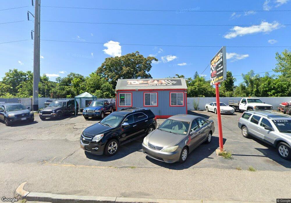
603 W Boylston St Worcester, MA 01606
Greendale Neighborhood
--
Bed
--
Bath
418
Sq Ft
5,227
Sq Ft Lot
About This Home
This home is located at 603 W Boylston St, Worcester, MA 01606. 603 W Boylston St is a home located in Worcester County with nearby schools including Norrback Avenue Elementary School, Jacob Hiatt Magnet School, and Chandler Magnet.
Ownership History
Date
Name
Owned For
Owner Type
Purchase Details
Closed on
Nov 4, 2008
Sold by
Cnb Prop Llc
Bought by
Komenos Michael
Home Financials for this Owner
Home Financials are based on the most recent Mortgage that was taken out on this home.
Original Mortgage
$72,000
Outstanding Balance
$46,675
Interest Rate
5.83%
Mortgage Type
Commercial
Purchase Details
Closed on
Aug 19, 2008
Sold by
Miranda Milton J
Bought by
Cnb Prop Llc
Purchase Details
Closed on
Aug 6, 2003
Sold by
Goncalves Antonio and Miranda Milton J
Bought by
Miranda Milton J and Rosado-Miranda Solange D
Create a Home Valuation Report for This Property
The Home Valuation Report is an in-depth analysis detailing your home's value as well as a comparison with similar homes in the area
Home Values in the Area
Average Home Value in this Area
Purchase History
| Date | Buyer | Sale Price | Title Company |
|---|---|---|---|
| Komenos Michael | $90,000 | -- | |
| Cnb Prop Llc | $100,000 | -- | |
| Miranda Milton J | -- | -- |
Source: Public Records
Mortgage History
| Date | Status | Borrower | Loan Amount |
|---|---|---|---|
| Open | Komenos Michael | $72,000 |
Source: Public Records
Tax History Compared to Growth
Tax History
| Year | Tax Paid | Tax Assessment Tax Assessment Total Assessment is a certain percentage of the fair market value that is determined by local assessors to be the total taxable value of land and additions on the property. | Land | Improvement |
|---|---|---|---|---|
| 2025 | $5,327 | $186,200 | $135,700 | $50,500 |
| 2024 | $5,593 | $186,200 | $135,700 | $50,500 |
| 2023 | $5,130 | $164,100 | $118,000 | $46,100 |
| 2022 | $5,469 | $164,100 | $118,000 | $46,100 |
| 2021 | $4,511 | $124,600 | $90,000 | $34,600 |
| 2020 | $4,434 | $126,100 | $90,000 | $36,100 |
| 2019 | $4,373 | $125,300 | $90,000 | $35,300 |
| 2018 | $4,233 | $124,400 | $90,000 | $34,400 |
| 2017 | $4,067 | $123,500 | $90,000 | $33,500 |
| 2016 | $3,945 | $116,100 | $87,400 | $28,700 |
| 2015 | $3,684 | $116,100 | $87,400 | $28,700 |
| 2014 | $3,579 | $116,100 | $87,400 | $28,700 |
Source: Public Records
Map
Nearby Homes
- 557 W Boylston St
- 580 W Boylston St
- 582 W Boylston St
- 574 W Boylston St
- 566 W Boylston St
- 5 Fales St
- 5 Fales St Unit 2D
- 5 Fales St Unit 3C
- 5 Fales St Unit 1C
- 5 Fales St Unit 2A
- 5 Fales St Unit 3D
- 10 Randall St Unit 2D
- 10 Randall St Unit 3B
- 10 Randall St Unit 3C
- 10 Randall St
- 10 Randall St Unit 1D
- 10 Randall St Unit 3A
- 20 Rockdale St
- 19 Rockdale St
- 590 W Boylston St